Where is Waupaca County, Wisconsin?
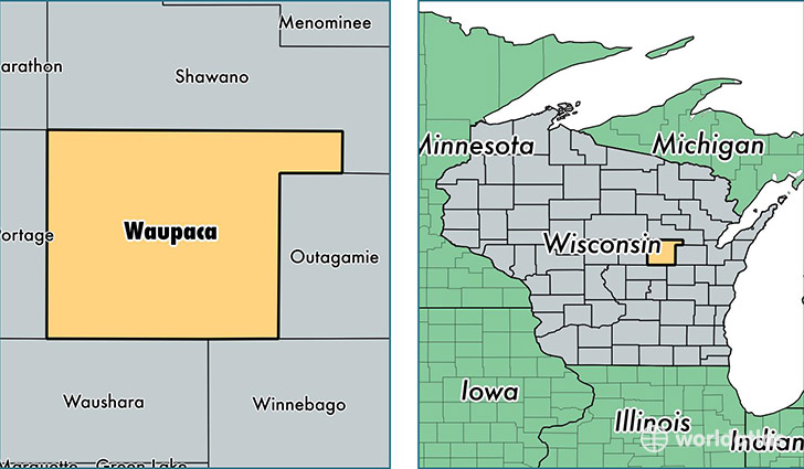
Waupaca County is a county equivalent area found in Wisconsin, USA. The county government of Waupaca is found in the county seat of Waupaca.
With a total 1,981.63 sq. km of land and water area, Waupaca County, Wisconsin is the 1252nd largest county equivalent area in the United States. Home to 52,066 people, Waupaca County has a total 25364 households earning 50822 on average per year.
Waupaca County, Wisconsin - Quick Facts
| FIPS Code | 55135 |
| Area Codes | 715,920 |
| Time Zone | CST |
| Major Cities | Waupaca (population: 15,348), New London (population: 14,243), Clintonville (population: 8,696), Weyauwega (population: 4,618), Fremont (population: 4,024), Iola (population: 3,526), Manawa (population: 3,411), Marion (population: 3,064), Scandinavia (population: 1,330), Ogdensburg (population: 1,104) |
| Land Area | 20,103 sq miles |
| Water Area | 747 sq miles |
| Household Income | $50,822 |
| Housing Units | 25,364 |
| Median Home Value | $136,300 |
| High School Grads | 90% of population |
| Holders of Bachelors Degrees | 17% of population |
| Retail Spending | $9,929 per capita |
| Food & Accomodation Sales | $55,597 per capita |
This page was last updated on June 30, 2016.