Where is Stephens County, Oklahoma?
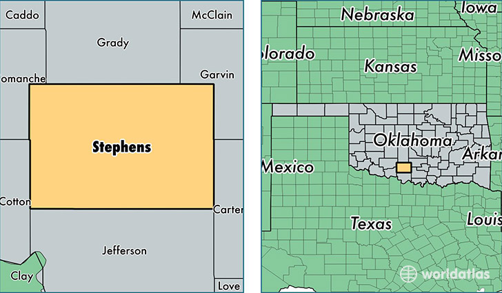
Stephens County is a county equivalent area found in Oklahoma, USA. The county government of Stephens is found in the county seat of Duncan.
With a total 2,308.62 sq. km of land and water area, Stephens County, Oklahoma is the 997th largest county equivalent area in the United States. Home to 44,493 people, Stephens County has a total 20613 households earning 43885 on average per year.
Stephens County, Oklahoma - Quick Facts
| FIPS Code | 40137 |
| Area Codes | 405,580 |
| Time Zone | CST |
| Major Cities | Duncan (population: 28,264), Marlow (population: 9,894), Comanche (population: 5,311), Velma (population: 716), Foster (population: 693), Loco (population: 425), Countyline (population: 84) |
| Land Area | 17,179 sq miles |
| Water Area | 870 sq miles |
| Household Income | $43,885 |
| Housing Units | 20,613 |
| Median Home Value | $89,300 |
| High School Grads | 86% of population |
| Holders of Bachelors Degrees | 17% of population |
| Retail Spending | $11,474 per capita |
| Food & Accomodation Sales | $38,788 per capita |
This page was last updated on June 30, 2016.