Where is Rankin County, Mississippi?
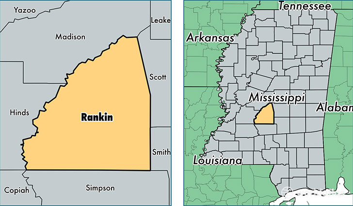
Rankin County is a county equivalent area found in Mississippi, USA. The county government of Rankin is found in the county seat of Brandon.
With a total 2,087.75 sq. km of land and water area, Rankin County, Mississippi is the 1158th largest county equivalent area in the United States. Home to 148,070 people, Rankin County has a total 57435 households earning 57380 on average per year.
Rankin County, Mississippi - Quick Facts
| FIPS Code | 28121 |
| Area Codes | 601 |
| Time Zone | CST |
| Major Cities | Brandon (population: 70,457), Pearl (population: 32,156), Florence (population: 20,139), Flowood (population: 7,245), Richland (population: 7,116), Pelahatchie (population: 5,296), Whitfield (population: 992), Sandhill (population: 111), Piney Woods (population: 72), Star (population: 48) |
| Land Area | 57,170 sq miles |
| Water Area | 775 sq miles |
| Household Income | $57,380 |
| Housing Units | 57,435 |
| Median Home Value | $148,900 |
| High School Grads | 89% of population |
| Holders of Bachelors Degrees | 29% of population |
| Retail Spending | $16,103 per capita |
| Food & Accomodation Sales | $197,777 per capita |
This page was last updated on June 30, 2016.