Where is Bingham County, Idaho?
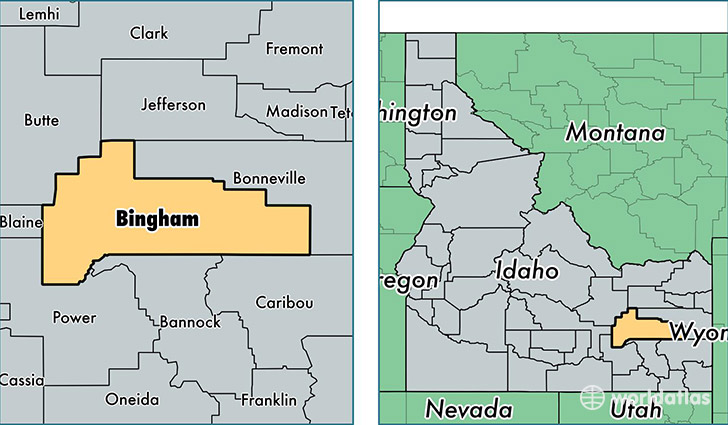
Bingham County is a county equivalent area found in Idaho, USA. The county government of Bingham is found in the county seat of Blackfoot.
With a total 5,491.58 sq. km of land and water area, Bingham County, Idaho is the 297th largest county equivalent area in the United States. Home to 45,269 people, Bingham County has a total 16110 households earning 47941 on average per year.
Bingham County, Idaho - Quick Facts
| FIPS Code | 16011 |
| Area Codes | 208 |
| Time Zone | MST |
| Major Cities | Blackfoot (population: 26,942), Shelley (population: 9,219), Aberdeen (population: 3,438), Firth (population: 2,268), Pingree (population: 1,381), Basalt (population: 337), Fort Hall (population: 308), Springfield (population: 110), Atomic City (population: 25) |
| Land Area | 17,478 sq miles |
| Water Area | 2,094 sq miles |
| Household Income | $47,941 |
| Housing Units | 16,110 |
| Median Home Value | $135,400 |
| High School Grads | 85% of population |
| Holders of Bachelors Degrees | 17% of population |
| Retail Spending | $7,822 per capita |
| Food & Accomodation Sales | $24,298 per capita |
This page was last updated on June 30, 2016.