Where is Matagalpa, Nicaragua?
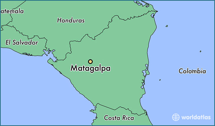
Matagalpa is a city found in Matagalpa, Nicaragua. It is located 12.93 latitude and -85.92 longitude and it is situated at elevation 686 meters above sea level.
Matagalpa has a population of 109,089 making it the biggest city in Matagalpa. It operates on the CDT time zone.
Quick facts
| Country | Nicaragua |
| Parish | Matagalpa |
| Population | 109,089 |
| Elevation | 686 m over sea level |
| Time Zone | CDT |
| Longitude | -85.917470 |
| Latitude | 12.925590 |
This page was last updated on October 2, 2015.