Where is Santa Clara, Cuba?
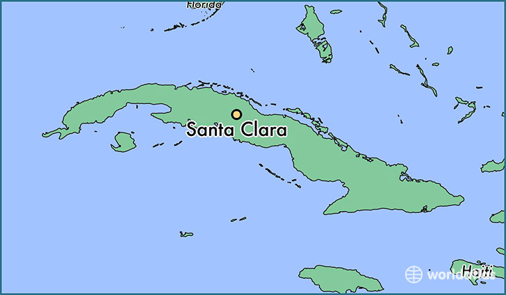
Santa Clara is a city found in Villa Clara, Cuba. It is located 22.40 latitude and -79.97 longitude and it is situated at elevation 122 meters above sea level.
Santa Clara has a population of 250,512 making it the biggest city in Villa Clara. It operates on the CDT time zone.
Quick facts
| Country | Cuba |
| Province | Villa Clara |
| Population | 250,512 |
| Elevation | 122 m over sea level |
| Time Zone | CDT |
| Longitude | -79.966670 |
| Latitude | 22.400000 |
This page was last updated on October 2, 2015.