Vaca Mountains
The Vaca Mountains are part of the inner North Coast Ranges of California. They are bordered on the north by Putah Canyon, on the south by Suisun and Sacramento valleys, on the east by Vaca and Pleasants valleys, and on the west by Gordon Valley and Wragg Canyon. The Vaca Mountains form the Napa Valley's eastern boundary, shielding it from the scorching heat of the Central Valley.
Geography Of The Vaca Mountains

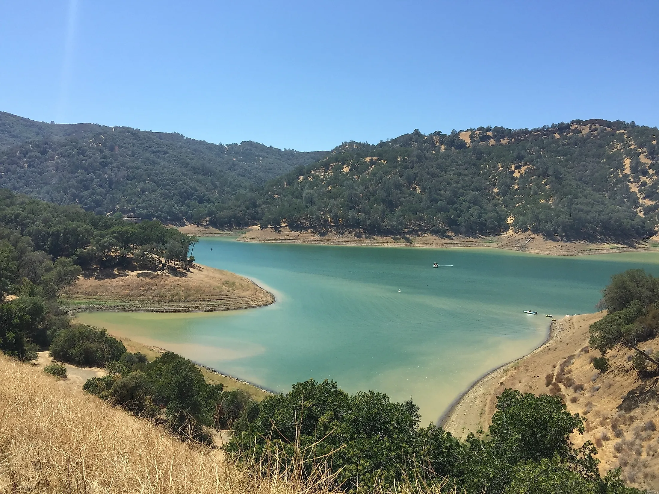
The Vaca Mountains extend from a latitude of 38 0 16' N, just north of the city of Fairfield, to latitude 38 0 31' N, where Putah Canyon serves as a barrier that separates the range from the remainder of the 325 km long mountain block which borders the west side of the Sacramento Valley. The Vaca Mountains range is approximately 9 km wide and 28 km long, covering about 250 square km. Blue Ridge is the backbone of the Vaca Mountains and runs the length of the range and is above 600 m in elevation most of its length and gets progressively lower toward the south near Fairfield, where it disappears at the head of Suisun Valley.
History Of The Vaca Mountains
Native Americans who inhabit the Vaca mountains belonged to the Patwin, which means "people" and used by several tribelets of related cultural qualities to refer to themselves. One of the most famous Patwin was Chief Solano, a friend of General Mariano Guadalupe Vallejo, Mexican comandante of Sonoma and environs. The Solano County, one of the original California counties, was named in honor of Chief Solano, who received his name upon baptism in honor of the seventeenth-century Franciscan missionary, St. Francis Solano.
The Vaca Mountains were part of four Mexican Land Grants, Suisun, Tolenas, Los Potus, and Chimiles. The lower elevations of the Vaca Mountains have been used for agricultural purposes. The lands were favorable sites and have been cleared to plant vineyards and orchards. The oaks in the Vaca Mountains were cut for fuel in the 1850s. Tolenas Spring, in the southern part of the Vaca Mountains, was an early Indian spa. Its water was later on bottled and remained popular until around 1905. Today, all lands in the Vaca Mountains are privately owned, except for a few square kilometers, used for the public near the range's northern slopes.
Climate
Like most of the California Coast Ranges, the climate of the Vaca Mountains is of the Mediterranean type and has cool, wet winters and warm, dry summers. Vacaville is a city in the Sacrament Valley east of the Vaca Mountains. It is an elevation of 32, and the mean rainfall is 634 mm as measured by the National Weather Service station nearby, and so the higher elevations in the Vaca Mountains would be expected to have more significant rainfall.
Activities In The Vaca Mountains

Tourists are usually attracted to the Napa Valley near the Vaca Mountains. It is a unique wine-growing region at 30 miles in length, and due to the unique geographic position near the mountains range, the region has the perfect conditions to produce world-class wine grapes.
At an elevation of approximately 859 m, Mount Vaca, the highpoint of The Vaca Mountains and Solano County, is a popular destination for climbing enthusiasts. Visitors can also reach the summit by either Gates Canyon Road or Mix Canyon Road, both of which originate in Vacaville, California. The roads intersect the Blue Ridge Road, which follows the ridge top to the summit.