Tierra Del Fuego
Tierra del Fuego is an archipelago located at the southern tip of the continent of South America. It is separated from the mainland by the narrow Strait of Magellan.
The Tierra del Fuego archipelago comprises the large island of Isla Grande de Tierra del Fuego along with several small islands like the Diego Ramírez Island and the Cape Horn Island. The archipelago covers a total area of about 73,746 km2 with about two-thirds of the archipelago administered by Chile and about one-third by Argentina.
Geography

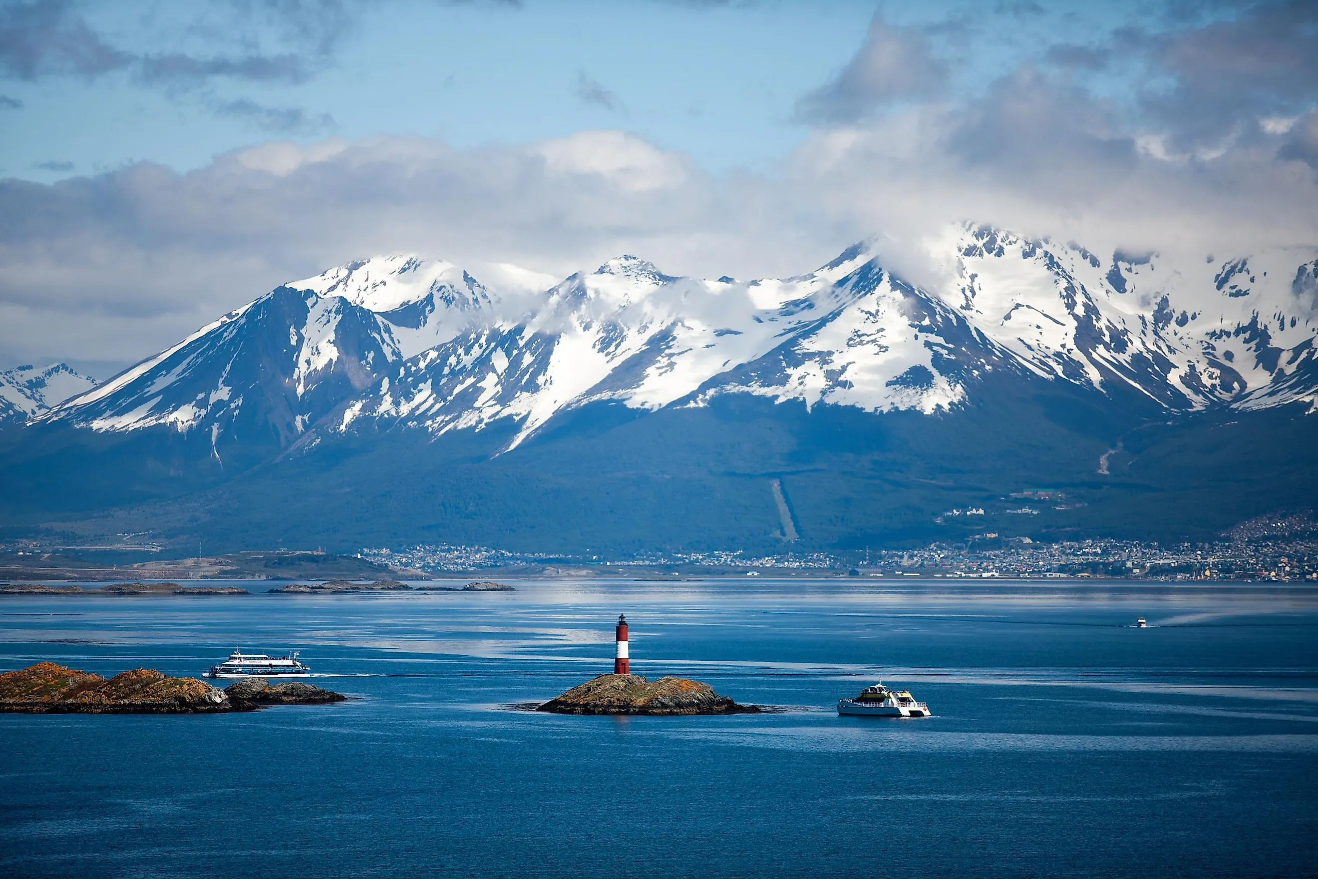
Covering an area of 48,100 km2, Isla Grande de Tierra del Fuego is the principal island of the archipelago. About 29,484.7 km2 (or, 61.43%) of the island is owned by Chile, whereas about 18,507.3 km2 (or, 38.57%) is owned by Argentina. The 240 km-long Beagle Channel separates the archipelago’s principal island from the other smaller islands.
The western portion of the Isla Grande Island as well as all the other islands that are located to its south and southwest are administered as a part of the Magallanes y Antártica Chilena region. Situated on the edge of the Strait of Magellan is the capital city of the region, Punta Arenas. The town of Porvenir is also located on this main island. The city of Puerto Williams is situated on Navarino Island. To the south of Puerto Williams is the village of Puerto Toro which is regarded as the world’s southernmost village. The uninhabited islands which are located in the northern and western parts of the principal island are administered under the Magallanes Province.
The eastern portion of the Isla Grande Island along with some other smaller islands is owned by Argentina. These islands are considered a part of the Tierra del Fuego Province. The province’s capital, Ushuaia, is the planet’s southernmost city. Located in the southwestern part of the archipelago’s principal island is the Cordillera Darwin Mountain range. Monte Shipton, which rises to an elevation of 2,580 m, is the highest point in the archipelago.
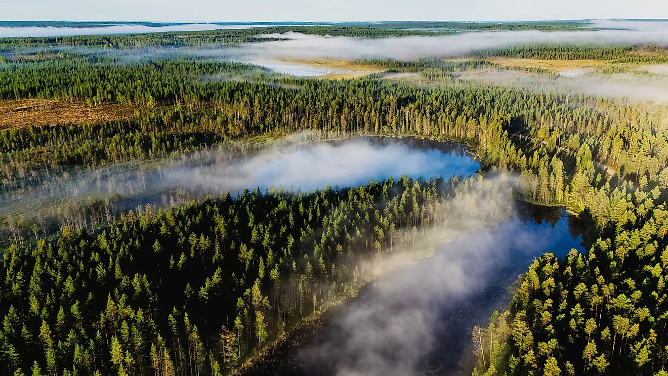
According to the Köppen climate classification, the Tierra del Fuego archipelago experiences a subpolar oceanic climate with cool summers and wet and mild winters.
Brief History

Archaeological studies have revealed that the Indigenous Yaghan peoples were the earliest inhabitants to reside in the Tierra del Fuego archipelago. The Portuguese explorer Ferdinand Magellan first visited these islands in 1520. He named them the region Tierra del Fuego (“Land of Fire”). For the next 350 years, the islands of the archipelago were occupied by the Indigenous tribes of Alacaluf, Ona, and Yaghan. In 1880, the islands were colonized by Chile and Argentina. A Chilean expedition in 1879 led to the discovery of large amounts of gold in the river beds of the island. Petroleum deposits were discovered in 1945 in the northern part of the archipelago’s main island.
Fishing, exploration of petroleum and natural gas, ecotourism, and sheep farming are some of the major economic activities on the Tierra del Fuego archipelago.
Wildlife

Magellanic subpolar forests occupy major portions of the islands of the archipelago. The southern and western parts of the archipelago are covered by mosses and short trees. The archipelago’s central portion has beech forests whereas the northern parts consist of steppe grasslands. The notable avian species that are found here include austral parakeets, condors, firecrown hummingbirds, king penguins, kingfishers, owls, and seagulls. Some of the world’s finest trout fish are found in the archipelago. Significant aquatic mammals like Antarctic minke whales, blue whales, southern right whales, sei whales, fin whales, humpback whales, elephant seals, fur seals, leopard seals, and sea lions are also found here. Several North American beavers have been observed on the islands of the archipelago.