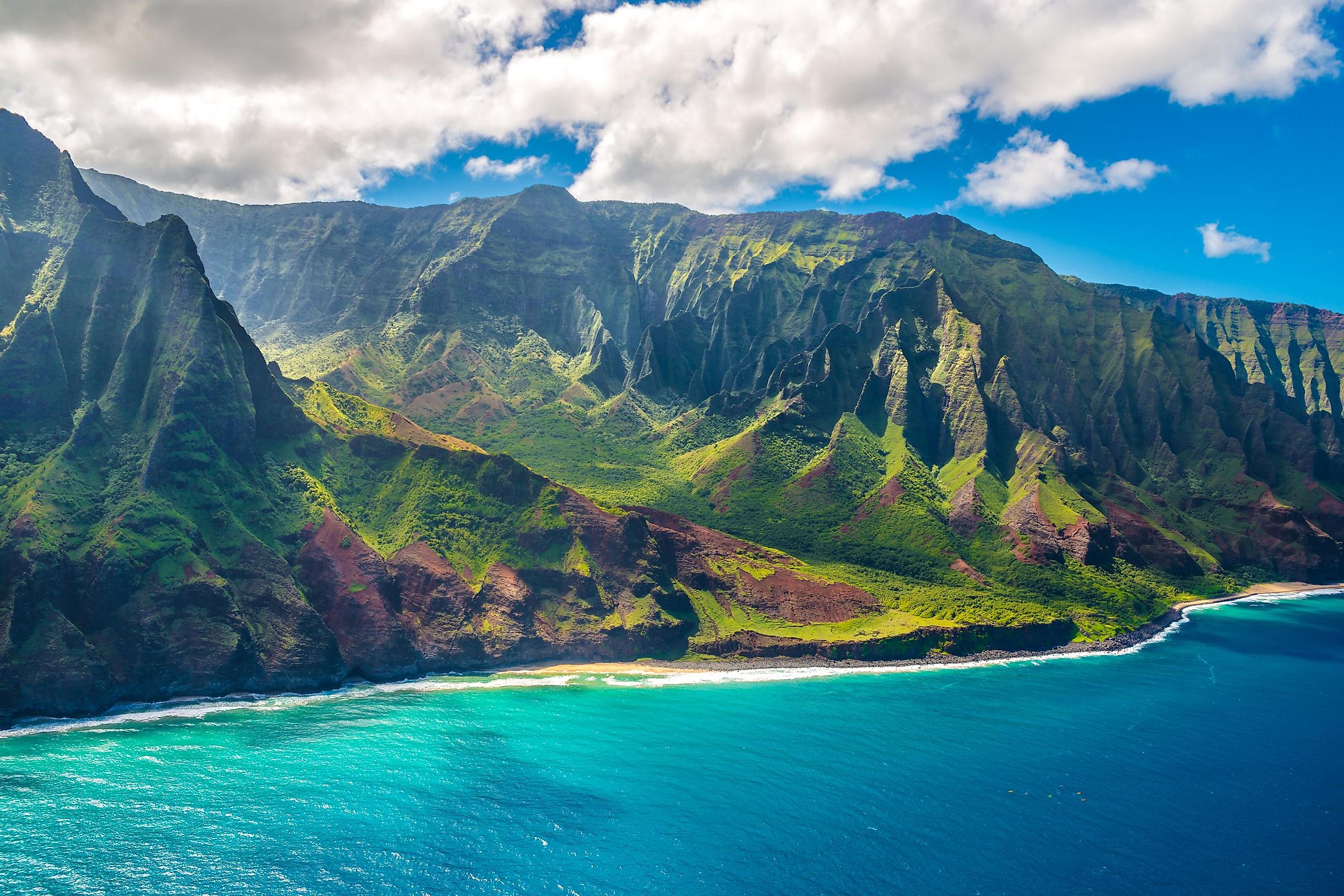
How Did The Hawaiian Islands Form?
The Hawaiian Islands are an archipelago or island chain consisting of eight major islands out of 132 islands, atolls, reefs, shoals, and seamounts in the North Pacific Ocean. They cover a distance of 2,400 kilometers from the island of Hawaii, the largest, to Kure Atoll, the northernmost of the islands. Hawaii is located on the Pacific tectonic plate, and its location is part of the reason the islands came into existence in the first place. The Hawaiian Islands are actually just the tips, or upper portions, of a large underwater mountain chain, called the Hawaiian–Emperor seamount chain.
What Is A Seamount?

A seamount is a type of geographic landform that, as the name suggests, rises from the sea floor. Essentially, they are underwater mountain ranges formed from extinct hot-spot volcanoes. Often these seamounts are wholly submerged below sea level. Once the tops of these seamounts rise above the water, they can be classified as islands, such as in the case of the Hawaiian island chain.
What Are "Hot-Spot" Volcanoes?
The seamount chain, and in essence, the Hawaiian-Emperor island chain itself, was formed due to volcanic activity. The tectonic plates, which make up the Earth's crust, cause major land formations and geographic landmarks. While volcanoes and mountain ranges can form along the edges of plates, there are also "hot-spot" volcanoes where magma rises and eventually erupts out of the middle of a tectonic plate, bursting out of the seafloor.
So How Did The Hawaiian Islands Chain Form?

The Hawaiian Islands were formed from a hot-spot volcano within the Pacific Plate. The interesting thing about hot spots is that they are stationary. The tectonic plates, however, are constantly in motion and are shifting across the Earth's surface. For this reason, we see island chains rather than singular, giant mountainous islands. In Hawaii's case, the Pacific plate is shifting towards the northwest. The islands in the chain show the path of movement of the plate as it has shifted over the hot spot, creating a chain of volcanic islands. The islands themselves are older towards the northwest, and the youngest of the islands within the chain is the island of Loihi. Theoretically, the future of the Earth will find more seamounts continuing along the chain.
The Significance Of Volcanic Islands

Because the Hawaiian Islands chain was created by volcanic activity, the islands are at risk of eruption, and eruptions have been present throughout the history of Hawaii. November of 2022 saw the eruption of Mauna Loa, which is both Hawaii's and the world's largest volcano. This marked the first eruption of Mauna Loa in 38 years, the longest dormancy period on record. While that eruption was not destructive to infrastructure or human life, previous eruptions throughout the islands have caused various levels of destruction. In 2018, Kilauea erupted and destroyed more than 700 residences. The worst or largest eruption on record was the Pu'u'ō'ō eruption of 1983, the longest and most voluminous eruption from Kīlauea Volcano's East Rift Zone in 500 years.

Thankfully, as the plates shift, eruptions have decreased and slowed, with many eruptions occurring beneath the oceans' surface. Over time, it is likely that these eruptions will bring forth other islands and rock formations to add to the Hawaiian–Emperor seamount chain.


