Where is Amstelveen, The Netherlands?
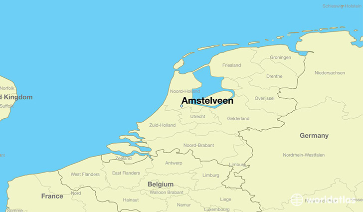
Amstelveen is a city found in North Holland, The Netherlands. It is located 52.30 latitude and 4.86 longitude and it is situated at elevation 0 meters above sea level.
Amstelveen has a population of 79,639 making it the 8th biggest city in North Holland. It operates on the AMT time zone, which means that it follows the same time zone as Amsterdam.
Quick facts
| Country | The Netherlands |
| State | North Holland |
| Population | 79,639 |
| Elevation | 0 m over sea level |
| Time Zone | AMT |
| Longitude | 4.863890 |
| Latitude | 52.300830 |
This page was last updated on October 15, 2015.