Where is Saint-Etienne, France?
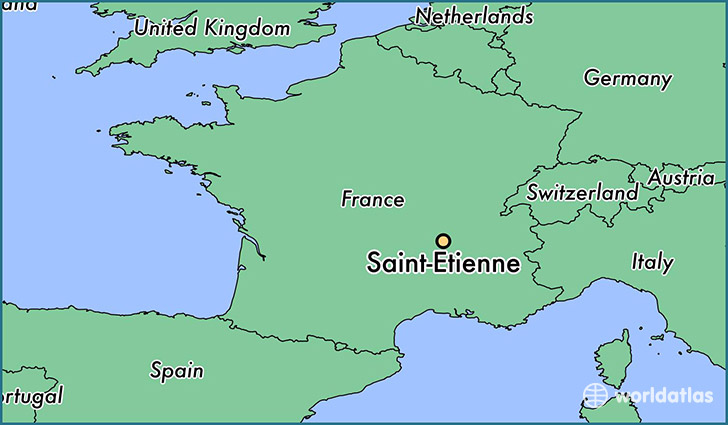
Saint-Etienne is a city found in Rhone-Alpes, France. It is located 45.43 latitude and 4.39 longitude and it is situated at elevation 529 meters above sea level.
Saint-Etienne has a population of 176,280 making it the 2nd biggest city in Rhone-Alpes. It operates on the CEST time zone, which means that it follows the same time zone as Lyon.
Quick facts
| Country | France |
| Metropolitan region | Rhone-Alpes |
| Population | 176,280 |
| Elevation | 529 m over sea level |
| Time Zone | CEST |
| Longitude | 4.390000 |
| Latitude | 45.433890 |
This page was last updated on October 2, 2015.