Where is Rennes, France?
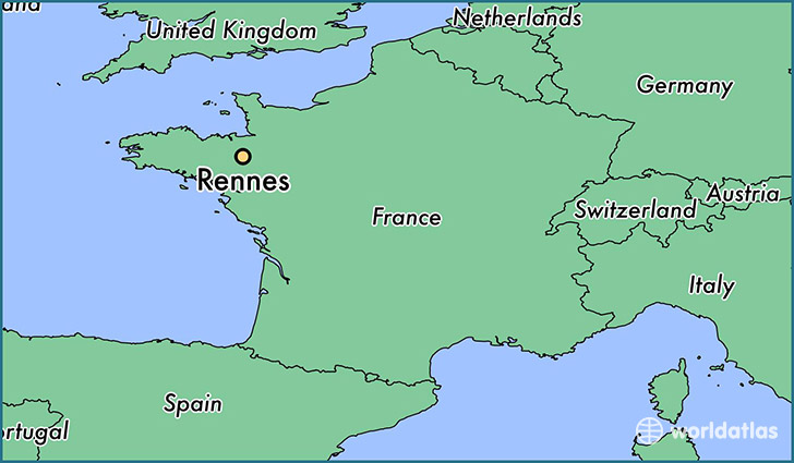
Rennes is a city found in Brittany, France. It is located 48.11 latitude and -1.67 longitude and it is situated at elevation 39 meters above sea level.
Rennes has a population of 209,375 making it the biggest city in Brittany. It operates on the CEST time zone.
Quick facts
| Country | France |
| Metropolitan region | Brittany |
| Population | 209,375 |
| Elevation | 39 m over sea level |
| Time Zone | CEST |
| Longitude | -1.674290 |
| Latitude | 48.111980 |
This page was last updated on October 15, 2015.