Oamaru, New Zealand
Oamaru is a large town situated in North Otago in the southeastern part of the South Island of New Zealand. Oamaru is Otago’s third-largest town and New Zealand’s 28th largest urban area. The name Oamaru has been derived from a Maori term that means “a place of sheltered fire” and refers to the town’s protected location in the shelter of Cape Wanbrow.
Geography Of Oamaru

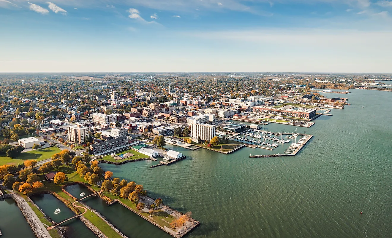
As per Statistics New Zealand, Oamaru is described as a medium urban area that covers a total area of 21.46 sq. km. Oamaru serves as the principal town and seat of Waitaki District, which also includes the neighboring towns of Hampden, Kurow, Palmerston, and Weston. Oamaru is situated approximately 80km south of the port city of Timaru and 120km north of the city of Dunedin on the country’s Pacific coast. Both these cities are connected with Oamaru via State Highway 1 and the Main South Line railway. Located about 20km north of Oamaru along the State Highway 1 is the Oamaru Airport.
Some of the suburbs of Oamaru include Oamaru North, Fernbrook, Eveline, Oamaru Central, Holmes Hill, Waiareka Junction, Wanbrow, Ardgowan, Casa Nova, Hospital Hill, Meadowbank, South Hill, and Awamoa. Situated just to the north of Oamaru at the meeting point of State Highways 1 and 83 is Pukeuri, which provides a principal route into the Waitaki River Valley. Through the Waitaki River Valley, the town of Oamaru also serves as an eastern gateway to the Mackenzie Basin.
Climate
According to the Köppen climate classification, Oamaru experiences an oceanic climate with comfortable summers and cold, windy winters. The warm season lasts from December to March, with January being the hottest month having an average high temperature of 19.4°C and a low temperature of 12.7°C. The cold season lasts from May to August, with July being the coldest month having an average low temperature of 5.5°C and a high temperature of 9.4°C. The town receives an average annual precipitation of 23.3 inches.
The Population And Economy Of Oamaru

As of June 2021, Oamaru has a population of 13,850 inhabitants. The town’s population has increased from the 2018 New Zealand census, which showed that the town was home to 13,107 inhabitants. Oamaru has a population density of 645 inhabitants per sq. km. About 86.9% of the town’s population were European/Pakeha, 8.1% were Maori, 6.0% Pacific people, 4.7% Asians, and 1.6% other ethnicities.
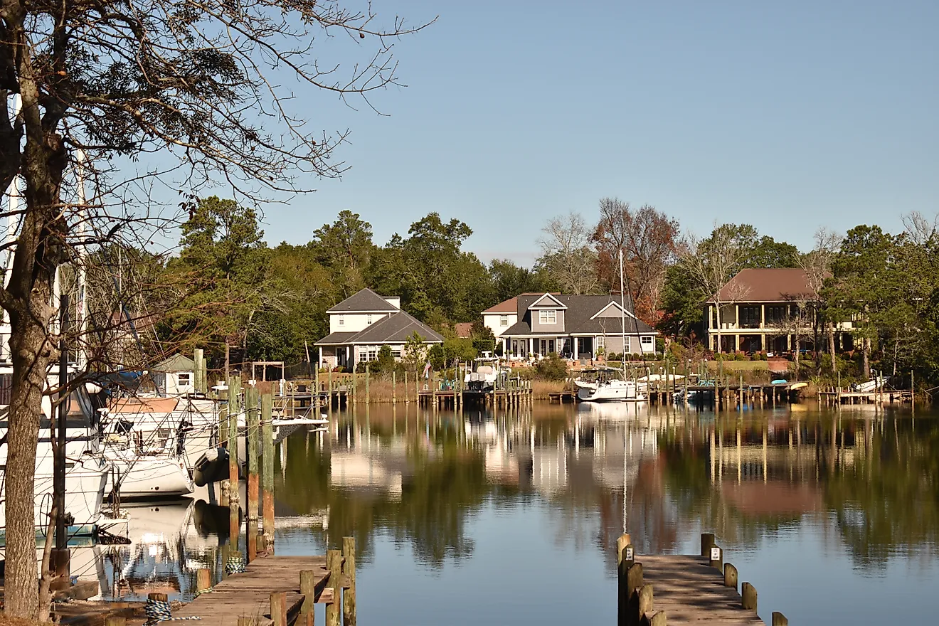
Oamaru serves as the commercial fishing center, the principal port for Waitaki River Valley, and coastal plain areas. The town’s primary industries include dairy factories, woolen and flour mills, freezing works, and manufacturing plants producing appliances, coal tar, concrete products, motor bodies, etc. The Oamaru Harbor provides excellent views of the Pacific Ocean, and Friendly Bay, located at the edge of the Oamaru Harbor, serves as a popular recreational area.
Tourist Destinations In And Around Oamaru
Victorian Precinct

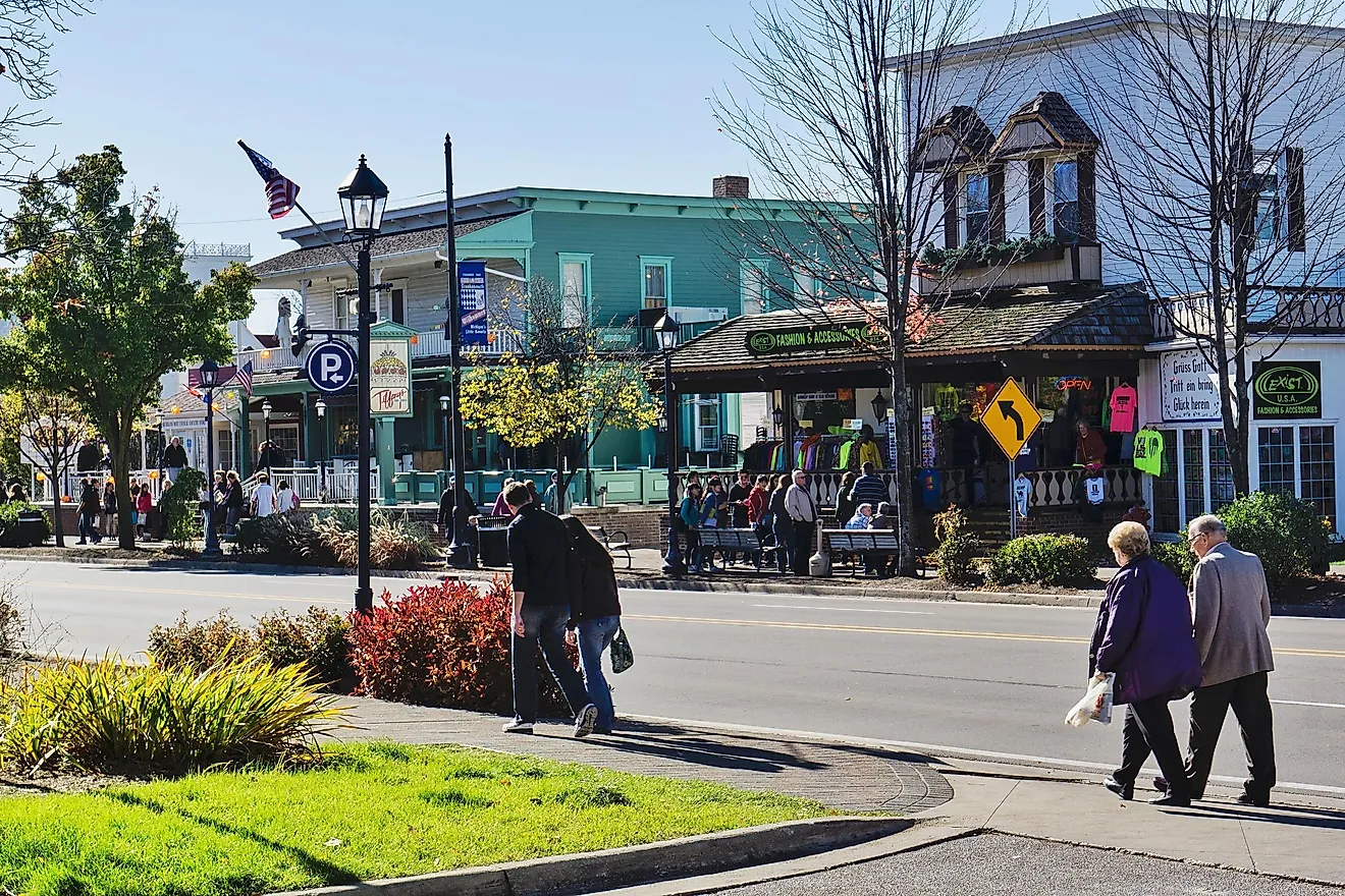
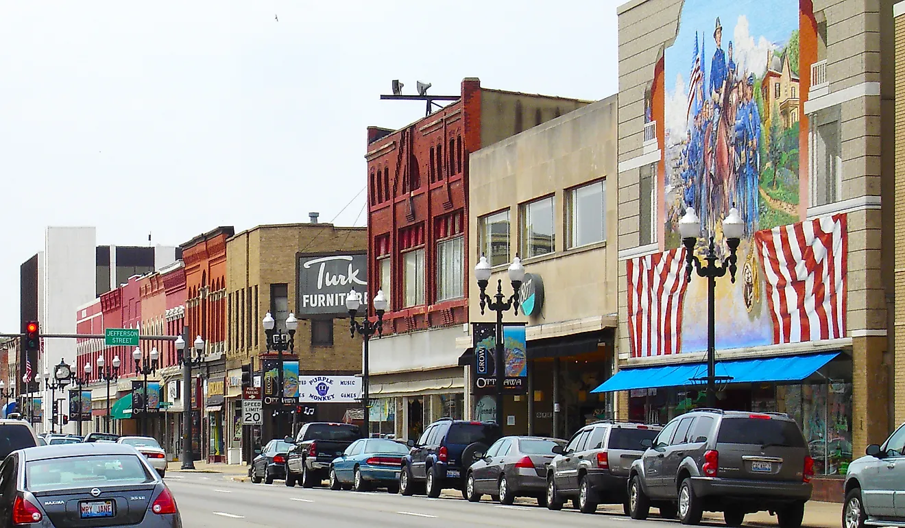
One of the most notable features of Oamaru is the Victorian Precinct, which is located in the southern part of the town’s main commercial district and is considered as one of the most pleasing Victorian streetscapes in New Zealand. Victorian Precinct features many prominent 19th-century architectures that have been made from the locally quarried limestone known as the Oamaru stone. The Oamaru Whitestone Civic Trust has preserved many significant historic buildings in the area as a part of the Victorian Precinct. Besides this, several local shops, galleries, arts and crafts shops in this area have embraced the Victorian theme.
Steampunk HQ

The Victorian architecture and the artsy atmosphere of the town have made Oamaru the perfect place for the Steampunk HQ, which is packed with various weird exhibits and audio-visual installations. Several steampunk artwork and sculptures are displayed and sold by The Libratory located adjacent to Steampunk HQ on the first floor of The Woolstore. In August 2016, Oamaru gained a place in the Guinness Book of World Records as the world’s largest gathering of steampunks. A Steampunk Festival is held annually in early June during the Queen’s Birthday Weekend.
Oamaru Blue Penguin Colony

Another notable attraction of Oamaru is a colony of little blue penguins that reside in a disused quarry on the harbor. The area has been made suitable as a breeding habitat for the penguins, and guided tours in the area are provided by a group of volunteers. With more than 75,000 annual visitors, the Oamaru Blue Penguin Colony is considered the largest tourist attraction in Oamaru. Located just outside the town of Oamaru at Bushy Beach is a colony of rare yellow-eyed penguins that also attract a lot of ecotourists.
Brief History Of Oamaru

Several important archaeological sites have been found around Oamaru that date back to the Archaic phase of Maori culture about AD 1100. A number of classic and protohistoric sites have also been found in the towns of Kakanui, Te Punamaru, Tamahaerewhenua, Papakaio, and Tekorotuaheka. From 1830 onwards, whalers started arriving in the town, and in 1844, the area was visited by a New Zealand doctor and administrator named Edward Shortland. In the 1850s, many European settlers started arriving in the Oamaru area. John Turnball Thomson, who served as Otago’s provincial surveyor, laid out the town in 1858 and named the early streets in the town after the British rivers. In due course, the town became the region’s principal port and grew as a service center for the agricultural hinterland between the Waitaki River and the Kakanui Mountains. A boost to the region’s economy was given in the 1860s by the development of the harbor and export trade in wool and grains. By the mid-1880s, the town of Oamaru became home to an impressive collection of structures that were built from locally quarried limestone.