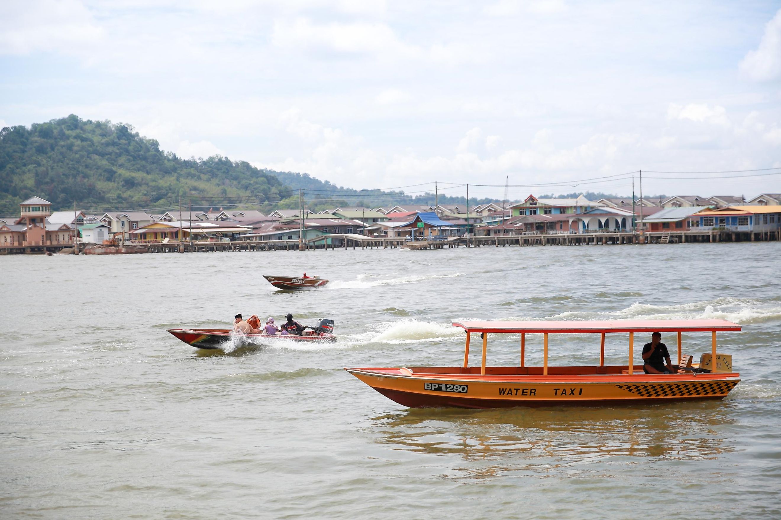
Brunei Bay
Brunei Bay in southeast Asia is a place where history and modernity collide. Ancient mangrove forests, millions of years old, still occupy many parts of the brackish mudflats along the shoreline, alongside traditional fishing villages. At the same time, Brunei Bay is an important commercial and tourist waterway for Malaysia and Brunei (Darussalam). The bay literally (via the Jambatan Sultan Haji Omar Ali Saifuddien Bridge) and psychologically unifies the two separate territories of Brunei while also strengthening connections between Brunei and Malaysia. Both nations are actively working to find the right balance for welcoming eco-tourists while protecting the bay's natural environment.
Geography Of Brunei Bay

Brunei Bay is located along the northwestern coast of Borneo, the world's third-largest island. Borneo contains all of Brunei (Darussalam) and parts of Malaysia and Indonesia. Brunei Bay opens in a northwestern direction into the South China Sea, one of the busiest and most congested waterways in the world. The bay is fed by several rivers, most notably the Brunei River, along its west side. The capital of Brunei, Bandar Seri Begawan, is situated fewer than 10 miles up the Brunei River. Numerous smaller islands occupy the bay's shoreline, while the larger Labuan Island sits just beyond the mouth of Brunei Bay.
Climate And Ecology
The island of Borneo is located in the equatorial tropics, so the area around Brunei Bay experiences an extremely humid tropical climate year-round. Greatly influenced by the "trade winds" that shift directions at different times of the year, the area experiences rainy seasons due to monsoon winds from the northwest (December to March) and southeast (June to September). Average annual precipitation falls in the range of 115-150 inches per year, with high humidity and temperatures from the mid-70s to mid-90s Fahrenheit year-round. Brunei Bay's shoreline is covered by mudflats, which constantly shift in shape and size due to tides and precipitation. Mangrove forests, which thrive in brackish saltwater, cover many of these mudflats.
Wildlife And National Parks

The outer waters of Brunei Bay, near the entry into the South China Sea, contain coral reefs and are home to a range of aquatic life (and extensive fishing operations). Closer to shore, in the brackish water, shrimp, crabs, and commercial fish hatcheries are more common. Mangrove forests along the shore support numerous animals, including otters, crocodiles, proboscis (long-nosed) monkeys, and dozens of bird species, including ruddy kingfishers and hook-billed bulbuls. The amazing diversity and abundance of flora and fauna continue to be threatened by overdevelopment and pollution, but large areas around Brunei Bay are now national parks—namely, Labu Forest Reserve in Brunei and Menumbok Forest Reserve in Malaysia.
Human History
Current research indicates that the first humans populated the island of Borneo more than 45,000 years ago, and the island (including the Brunei Bay region) has had an active and diverse history ever since. Coastal areas came under the control of Indian Hindu empires as early as the fourth century, Han Dynasty Chinese around the fourteenth century, and eventually the Islamic Sultanate of Brunei by the fifteenth century. Europeans began actively trading with Brunei starting around 1530, and the island ended up divided into British and Dutch colonies, with the British protectorate of Brunei lasting from 1888 to 1984 (the portion that is now Malaysia gained independence in 1963).
Economy Of Brunei Bay

The economy of much of the island of Borneo relies on logging, petroleum, agriculture, and especially palm oil cultivation, but these industries have caused rapid deforestation of the interior. The area around Brunei Bay has been somewhat less affected, as it relies more on fishing (both open-water and cultivated) and tourism. Overfishing is a longstanding and definite concern, so the increased reliance on tourism has benefits so long as it can be managed in an environmentally responsible manner. The only city near Brunei Bay, Brunei's capital, Bandar Seri Begawan, relies heavily on tourism, though the petroleum industry is primarily responsible for the wealth of the nation of Brunei and its sultan (king).
Brunei Bay is one of the main entry points into the nation of Brunei's modern and fast-growing capital city, Bandar Seri Begawan. But the bay also maintains a mangrove-covered coastline that leads into a tropical environment that hosts an amazing array of plants and animals, although many of these are threatened by environmental degradation. A quick trip around Brunei Bay offers visitors a glimpse into the island of Borneo's past, present, and potential future.


