Where is Salmas, Iran?
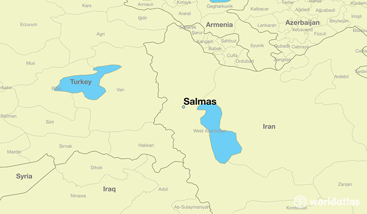
Salmas is a city found in Azarbayjan-e Gharbi, Iran. It is located 38.20 latitude and 44.77 longitude and it is situated at elevation 1382 meters above sea level.
Salmas has a population of 81,606 making it the 6th biggest city in Azarbayjan-e Gharbi. It operates on the IRDT time zone, which means that it follows the same time zone as Orumiyeh.
Quick facts
| Country | Iran |
| Special region | Azarbayjan-e Gharbi |
| Population | 81,606 |
| Elevation | 1,382 m over sea level |
| Time Zone | IRDT |
| Longitude | 44.765300 |
| Latitude | 38.197300 |