Where is Palu, Indonesia?
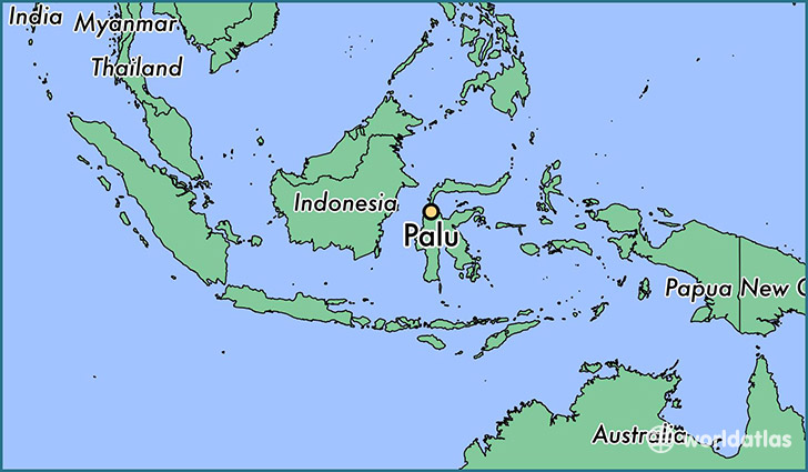
Palu is a city found in Central Sulawesi, Indonesia. It is located -0.89 latitude and 119.87 longitude and it is situated at elevation 20 meters above sea level.
Palu has a population of 282,431 making it the biggest city in Central Sulawesi. It operates on the JST time zone.
Quick facts
| Country | Indonesia |
| City of county right | Central Sulawesi |
| Population | 282,431 |
| Elevation | 20 m over sea level |
| Time Zone | JST |
| Longitude | 119.870700 |
| Latitude | -0.891700 |
This page was last updated on October 2, 2015.