Where is Denpasar, Indonesia?
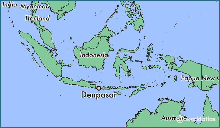
Denpasar is a city found in Bali, Indonesia. It is located -8.65 latitude and 115.22 longitude and it is situated at elevation 33 meters above sea level.
Denpasar has a population of 405,923 making it the biggest city in Bali. It operates on the JST time zone.
Quick facts
| Country | Indonesia |
| City of county right | Bali |
| Population | 405,923 |
| Elevation | 33 m over sea level |
| Time Zone | JST |
| Longitude | 115.216670 |
| Latitude | -8.650000 |
This page was last updated on October 2, 2015.