Where is Mount Agung?
Mount Agung, which is also sometimes called Gunung Agung, is an active stratovolcano in Bali, Indonesia. It is notable for not only being the highest point on the island of Bali, but also for having a serious impact on weather patterns in the area, particularly concerning rainfall.
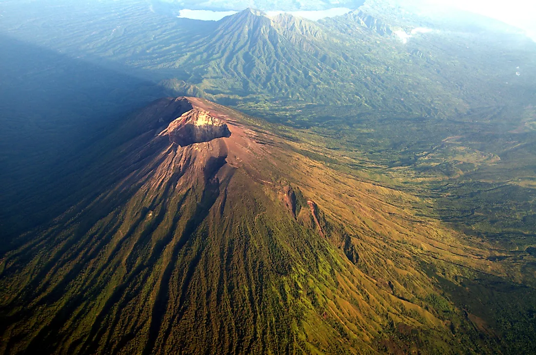
Introduction
Location
Mount Agung measures approximately 3,033 km above sea level. It is the fifth highest volcano in all of Indonesia, a country home to an estimated 130 active volcanoes. Mount Agung is home to the "Mother Temple of Besakih", a sacred site for followers of the Hindu faith.
Wildlife
Various species of flora and fauna live on Mount Agung, include macaque monkeys and wild pigs. There is also a large population of exotic birds.
Tourism
Tourist packages for climbing Mount Agung are readily available. However, as Mount Agung is viewed as sacred, there are many periods throughout the year when the volcano is off-limit to tourists (i.e., during religious holidays and festivals).
1963/64 Eruption
In February 0f 1963, lava began to flow from Mount Agung. It eventually reached high speeds of 7 km per hour. The volcano finally erupted on March 17, which sent hot gas and volcanic matter into the atmosphere. The flow of this debris was destructive enough that it caused the death of over 1,500 individuals. Additional mudslides of matter, called lahar, also led to hundreds of casualties alone.
2017 Seismic Activity
In September of 2017, several thousands of people living near Mount Agung evacuated their homes after an increase in seismic activity was detected. The Indonesian National Board for Disaster Management declared a 12 km exclusive zone around the volcano. However, volcanoes are, in general, extremely difficult to predict the eruption of to the precise moment.


