The Shatt Al-Arab River
5. Description
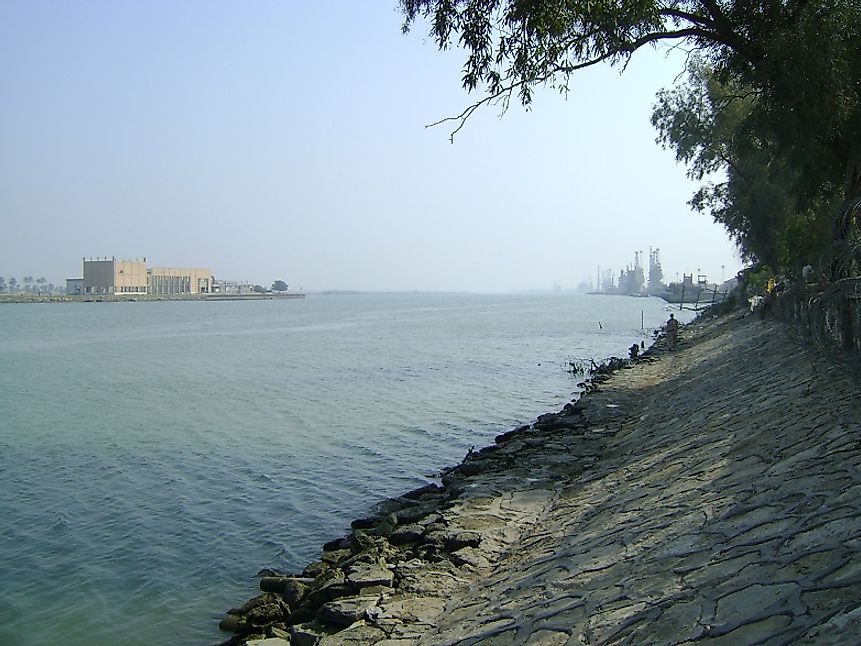
The Shatt al-Arab River is formed at the confluence of the Euphrates and Tigris Rivers in the town of al-Qurnah in southern Iraq. From here, the river flows in a southeastward direction for a distance of about 193 kilometers, forming parts of the border between Iraq and Iran along the way, and then finally drains into the Persian Gulf. Along its route, the Shatt al-Arab also receives a tributary, the Karun River, from the Iranian side. On its way to the Persian Gulf, the river passes through two major river ports, those being Abadan and Basra, in Iran and Iraq, respectively. The width of the river increases towards its mouth, being around 761 feet wide at Basra and 2,600 feet wide at its drainage basin into the Persian Gulf.
4. Historical Role
The Shatt al-Arab appears to have formed quite recently in the Earth's geologic time scale. Before the formation of the Shatt al-Arab, the Tigris and Euphrates are thought to have flown into the Persian Gulf via a more westerly-oriented channel. However, ever since its formation, the Shatt al-Arab has served as an important navigable route for the people settled along its banks. Since a long time ago, many have fought over the region containing modern-day Iran and Iraq, and especially constantly striven for control of the Shatt al-Arab territory. In 1935, as per the decision of an international commission, Iraq received complete control over the Shatt al-Arab territory, and Iran withheld the rights to maintain and manage only its Abadan and Khorramshahr ports along the river. This forced Iran to build alternative ports in the Persian Gulf. By the end of the 1970s, tension was high among the countries regarding the control of the Shatt al-Arab, and a full-fledged war broke out between them in 1980 as a result, and this conflict continued for eight years. The war involved a series of attacks from both sides on coastal areas along the Shatt al-Arab. The skirmishes between these two countries regarding this issue continues into the present times.
3. Modern Significance
The Shatt al-Arab is of immense economic significance to both Iran and Iraq. The river not only forms parts of the sensitive border between these two countries, but it is also Iraq’s only passageway to the Persian Gulf, and hence Iraq completely relies on it as a crucial navigation route. A large number of ports exist on the river on both the Iranian and Iraqi sides, and these facilitate the transport of cargo and people from the interiors of these countries out to the open seas. Besides serving as a navigation route, the Shatt al-Arab also hosts the world’s largest date palm forest. In the 1970s, the region could boast of housing as many as 17 to 18 million date palm trees. Various parts of these date palm trees are put to commercial use. The fruit itself is highly nutritious and delectable, and is used as a staple food in the Middle East (especially in the form of dried dates). The leaves of the tree are used to make mats, fans, and ropes, and to be burnt as fuel, the oil extracted from the seeds is used to make cosmetics and soap, and the wood of the tree is used as construction material to build rafters and posts and other structural components.
2. Habitat
The Shatt al-Arab region experiences a subtropical, hot, and dry climate. The floodplains of the Tigris-Euphrates and Karun Rivers at the source of the Shatt Al-Arab represent a wetland ecosystem. Therein, papyrus, reeds, and rushes can be found growing along the river's course. Lakes, marshes, and forests cover the landscape here, and these support a wide variety of waterbirds, including several migratory avian species. Water buffaloes, gazelles, antelopes, and some rodent species are also found in this region. A few reptilian and amphibian species also inhabit this region as well.
1. Threats and Disputes
The Shatt al-Arab continues to be one of the most disputed lands in all of Western Asia, and at the foremost of the priority list as one of the primary reasons of conflict between the neighboring countries of Iraq and Iran. Since the end of the bloody war between the two countries in 1988, the United Nations Security Council assigned United Kingdom the responsibility of monitoring the waterway around the mouth of the Shatt al-Arab. Several cases of Iranian forces capturing British Royal Navy sailors have occurred in the past, though high level diplomatic conversations have generally led to the freedom and safety of these sailors. Tensions between Iraq and Iran continue into the present day, and no peaceful solution regarding the division of the Shatt al-Arab territory has yet been achieved. The continuous dispute between Iraq and Iran and economic activities in the forests have also taken their tolls on the riverine ecosystems here, notably characterized by the fact that nearly 14 million date palm trees in the date palm forests of this region have completely been destroyed in recent decades.


