Tallest Mountains In Burkina Faso
Burkina Faso is a landlocked country in West Africa bordering six countries which include Benin, Cote d’Ivoire, Mali, Ghana, Togo, Mali, and Niger. It covers an area of 274,200 square kilometers, and its size is slightly larger than the state of Colorado. Burkina Faso is a primarily a flat country with undulating plains and hills in the southwestern and western region of the country. The country has a mean elevation of 297 meters above sea level while lowest elevation is 200 meters at Mouhoun River also known as the Black Volta. The highest elevation in the country is on Mount TenaKourou reaching 749 meters (2,457 feet)
Tallest Mountains In Burkina Faso
Tenakourou
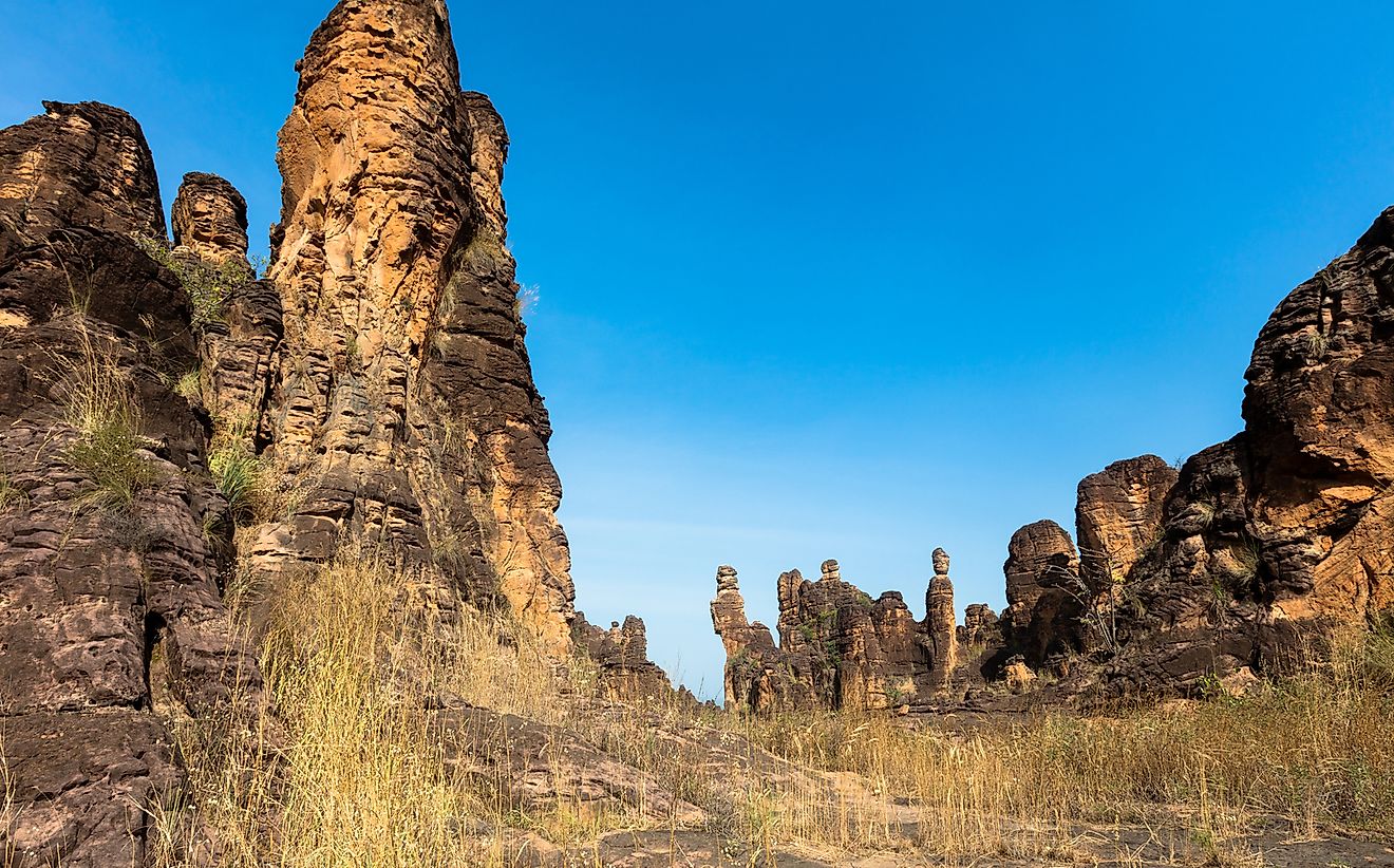
Mount Tenakourou is the highest mountain in Burkina Faso standing at the height of 2,457 feet above sea level. The mountain is in the southwestern part of the country, lying between the border of Cascades region in Burkina Faso and Sikasso area of Mali. The general rock formation in the surrounding region of the mountain is sandstone massif.
Tanlalle
Tanlalle is the second highest pint in Burkina Faso with an elevation of 1,844 feet above sea level. It is located in Tikare, Bam province in North Burkina Faso. The lower part of the Tanlalle hills are open grasslands with plants such as Karite or Shea nut (Butyrospermum parkii), the Nere or Locust Bean (Parkia biglobosa), kapok (Eriodendron anfranctuosum), baobabs (Adansonia digitata), and West African mahogany (Kaya senegalensis)
Kantolo
Kantolo is a hill in the southwestern part of the country located in the province of Du Houet in the high basins region of Burkina Faso (Hauts-Bassins). The Kantolo Mountain reaches a height of 1778 feet above sea level. The Kantolo Mountain and whole the surrounding area in the southwestern part of Burkina Faso is part of the Sudan/Guinea climatic zone and has savanna and forested areas. It has some patches of thick forest cover with dense undergrowth compared to the central part of the country.
Tonovo
Tonovo Mountain in Burkina Faso is the fourth highest in the country reaching a height of 1,542 feet above sea level. The area around the hill is among the densely populated areas with more than 66 people per square kilometer. Tonovo Mountain experiences a dry sub-humid climate and much of the vegetation cover is natural and intact and has not been invaded with farming and agricultural activities. The landscape around the region is covered with mosaic croplands or vegetation. The climate around the area is tropical savanna which experiences dry winter seasons, and it is classified as tropical dry forest biozone.
Major Concerns
Burkina Faso is a landlocked country and has three major rivers of Red, White, and Black Voltas. In the recent past, the country has experienced severe droughts and desertification encroaching faster into the country. The results of these problems have devastating effects on agricultural activities in the country and the whole economy. Other issues that have affected the country in the recent past include overgrazing, deforestation, and soil degradation.
Tallest Mountains In Burkina Faso
| Rank | Tallest Mountains In Burkina Faso | Elevation |
|---|---|---|
| 1 | Tenakourou | 2,457 feet |
| 2 | Tanlallé | 1,844 feet |
| 3 | Kantolo | 1,778 feet |
| 4 | Tonvo | 1,542 feet |
| 5 | Kanso | 1,470 feet |
| 6 | Koèl | 1,470 feet |
| 7 | Zaran Kipsi | 1,447 feet |
| 8 | Nanga | 1,368 feet |
| 9 | Gabou Kani | 1,348 feet |
| 10 | Lakba | 1,312 feet |


