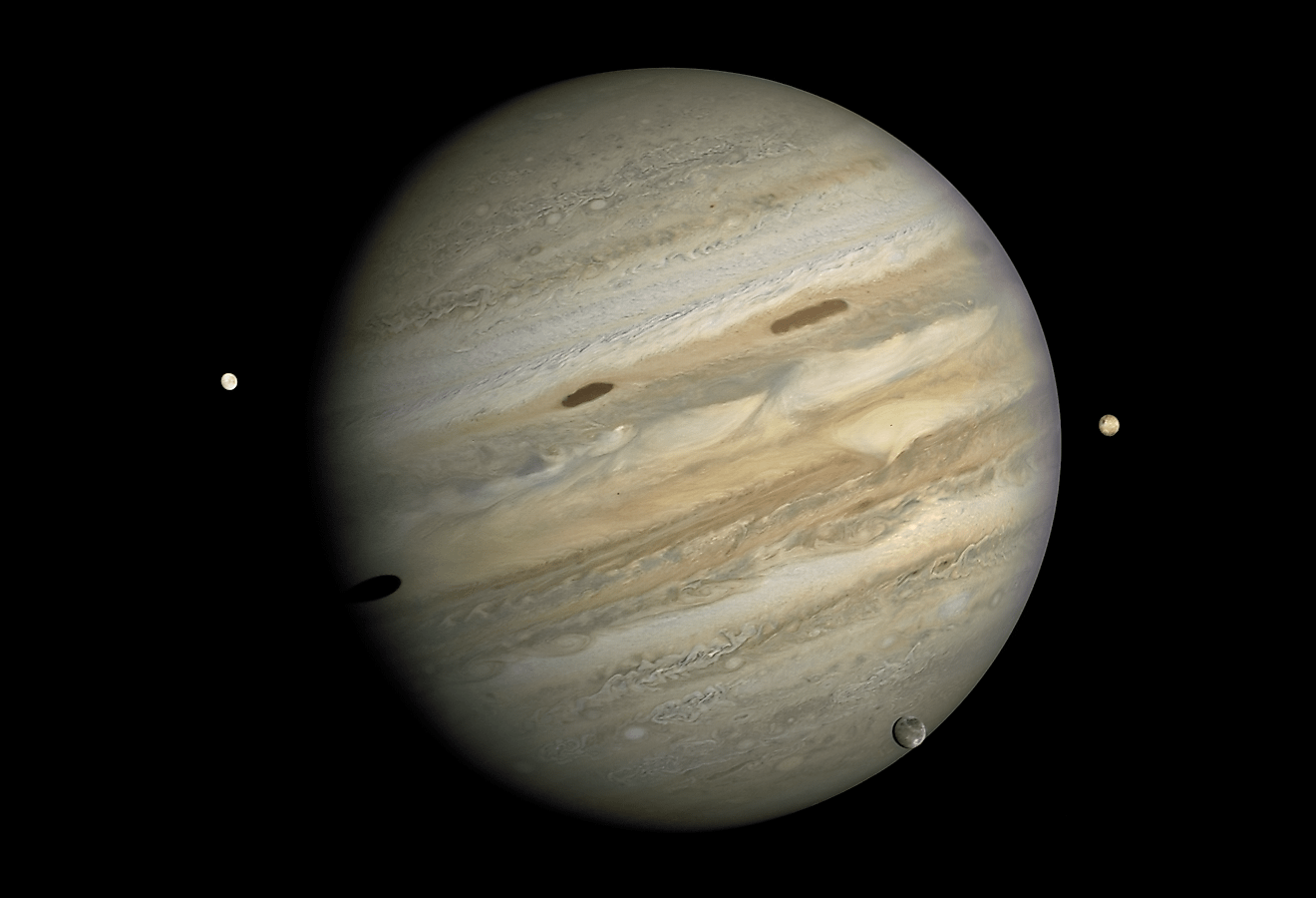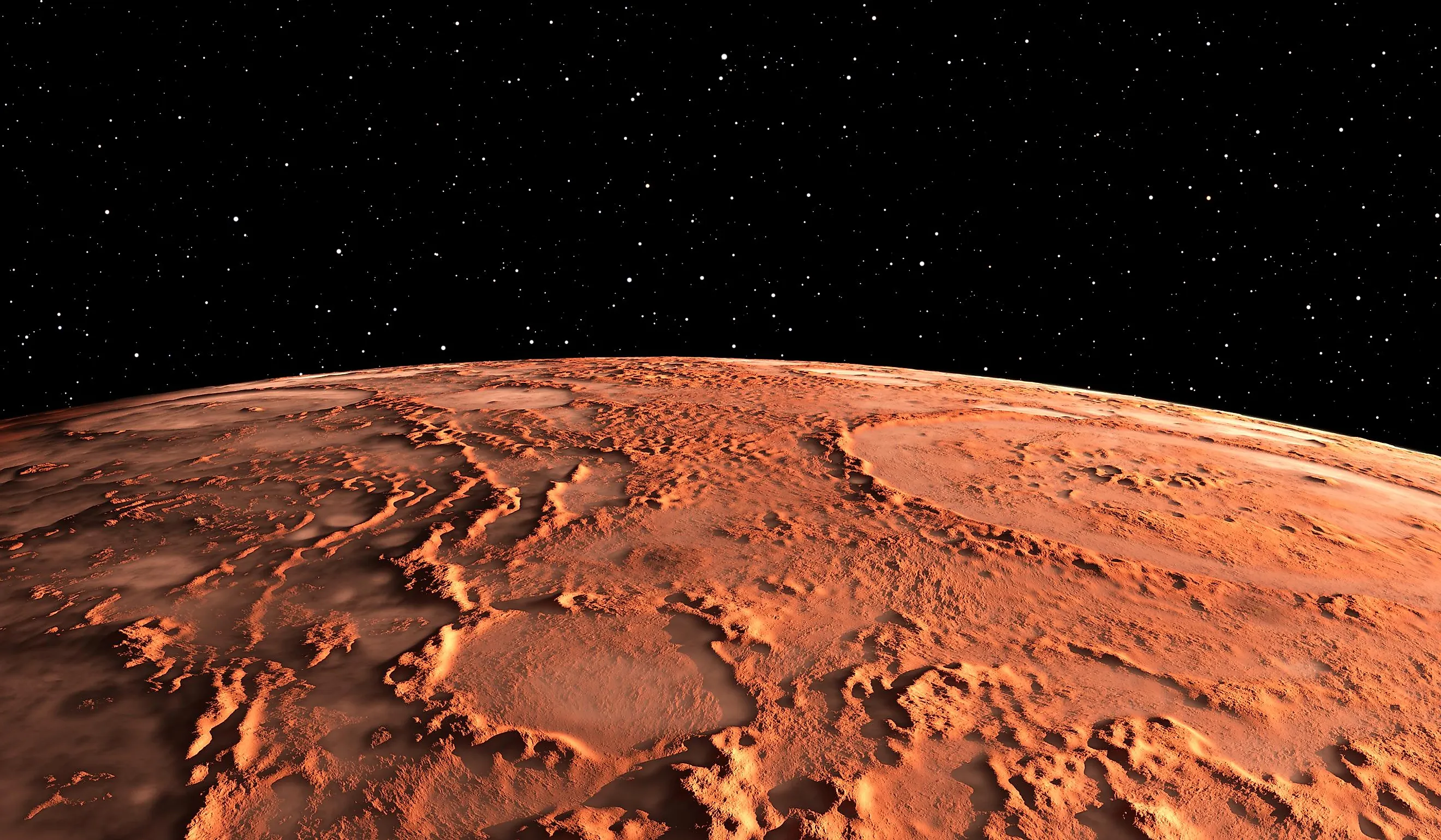
Mars
Orbiting the sun at a distance of 141.6 million miles (210-million kilometres), Mars is the fourth planet from the sun. With a diameter of 4,228 miles (6,804 kilometres), Mars is the second smallest planet in the solar system after Mercury. Other than Earth, Mars is perhaps the most studied planet in the solar system, and when we begin to understand the Red Planet, it’s easy to see why.
The Martian surface is an alien, yet somewhat familiar, landscape. Perhaps one of the most striking aspects about Mars is its similarities to the Earth. The axis of Mars is tilted by about 25 degrees, nearly identical to Earth’s tilt. The result is that a day on Mars is only about a half hour longer than on Earth. Mars is about half the size of Earth and only about 11% the mass.

Climate On Mars
The lack of a thick atmosphere makes it difficult for heat from the sun to circulate around the planet. This causes Mars to have extreme temperature fluctuations, which can range from around 71.6 degrees Fahrenheit (22 degrees Celsius) to well below minus 148 degrees Fahrenheit (minus 100 degrees Celsius). These drastic changes in temperature also have an impact on the Martian climate. Frigid temperatures at and near the poles cause carbon monoxide in the atmosphere to condense onto the surface as dry ice. During the winter, the Martian ice caps grow in size as more dry ice condenses to the surface. During the summer, warmer temperatures turn the dry ice back into carbon monoxide gas and the ice caps retreat. Astronomers also believe that these temperature fluctuations cause dust storms on Mars. The differences in temperature create high speed winds that whip up dust from the surface. Occasionally, these dust storms can become so immense that they cover the entire planet in a single storm. The dirt and dust carried up into the atmosphere by dust storms is what causes Mars to have red skies.
Topography Of Mars
Geographically, Mars is characterized by two separate regions: the Highlands and the Lowlands. The Highlands are located across the Southern Hemisphere of Mars and make up about two-thirds of the entire Martian surface. The Lowlands stretch across the Northern Hemisphere and make up a third of the Martian surface. Generally, the Highlands are defined as having an abundance of impact craters and older surface features. The Lowlands are the complete opposite, having very few craters and a smooth surface. The Lowlands are also home to all of Mars’ volcanoes, along with the largest canyon in the solar system: the Valles Marineris. The Valles Marineris stretches 4,000 kilometres in length and 7 kilometres deep. If it were placed on Earth, the valley would stretch across the entire United States.
Observational History Of Mars

Mars is visible to the naked eye without the need for any kind of equipment, and thus its existence has been known since ancient times. The first recorded observations of Mars come from the ancient civilizations of Mesopotamia. Over 5,000 years ago, the Sumerians believed that Mars was the god Nergal, the god of war and plague. In later cultures, such as the Greeks and Romans, Mars was often believed to be the god of war. In fact, the name Mars comes from the Roman god of war. Given its red color, which can be seen with the naked eye, it is not surprising that various cultures associated Mars with war and death. In 1610, Galileo Galilei became the first human to observe Mars through the eyepiece of a telescope.Unfortunately for Galileo, his telescope was not powerful enough to discern any features of Mars. In the mid-1600s, the astronomer Christiaan Huygens became the first to map the surface of Mars, and although the map is highly inaccurate by today’s standards, it was the first map to recognize that Mars had surface features.
By the 1800s, telescopes had advanced enough for astronomers to begin identifying individual surface features of Mars. In 1877, astronomer Giovanni Schiaparelli produced the first detailed map of Mars using an 8.7 inch telescope. The most notable feature of Schiaparelli’s map was the existence of canals on the surface of Mars. For decades, astronomers believed that canals were present across the surface of Mars, and many hypothesized that these canals were being created by an intelligent civilization. The existence of liquid water led to claims of vegetation and animals. However, as telescopes became more powerful, the canals seemingly vanished. As it turned out, the canals were simply an optical illusion. By the early 20th century, the theory of canals on Mars had been widely discredited.
Mars would remain a world of mystery until the Space Race in the 1960s and 1970s. The Soviet Union was the first country to attempt robotic missions to Mars in 1960, yet unfortunately they all resulted in failure. The first successful flyby of Mars was accomplished by NASA in 1965 with the Mariner 4 spacecraft. In 1971, Mariner 9 became the first spacecraft to enter into orbit around Mars. The very first robotic spacecraft to reach the surface of Mars were the Mars 2 and Mars 3 landers, both launched by the Soviet Union. In 1971, the two spacecraft successfully reached Mars. Mars 2 broke apart during its descent, yet Mars 3 successfully landed on the surface but only remained operational for 20 seconds. The first truly successful landing on Mars was NASA’s Viking mission in 1975. In 1975, NASA launched Viking 1 and Viking 2, and both successfully landed on the surface of Mars in 1976. Viking 1 remained operational for six years, while Viking 2 remained operational for three years. Both landers provided scientists with the very first color images of the Martian surface.
The 1990s saw some of the most important missions to Mars, including the first rover to successfully land and drive upon the Martian surface. In 1997, NASA’s Mars Pathfinder mission successfully landed on the surface and deployed the first ever Mars rover. That same year, NASA’s Mars Global Surveyor entered into orbit around Mars and provided scientists with some of the most detailed images of the Martian surface, as well as a complete map of the entire planet.
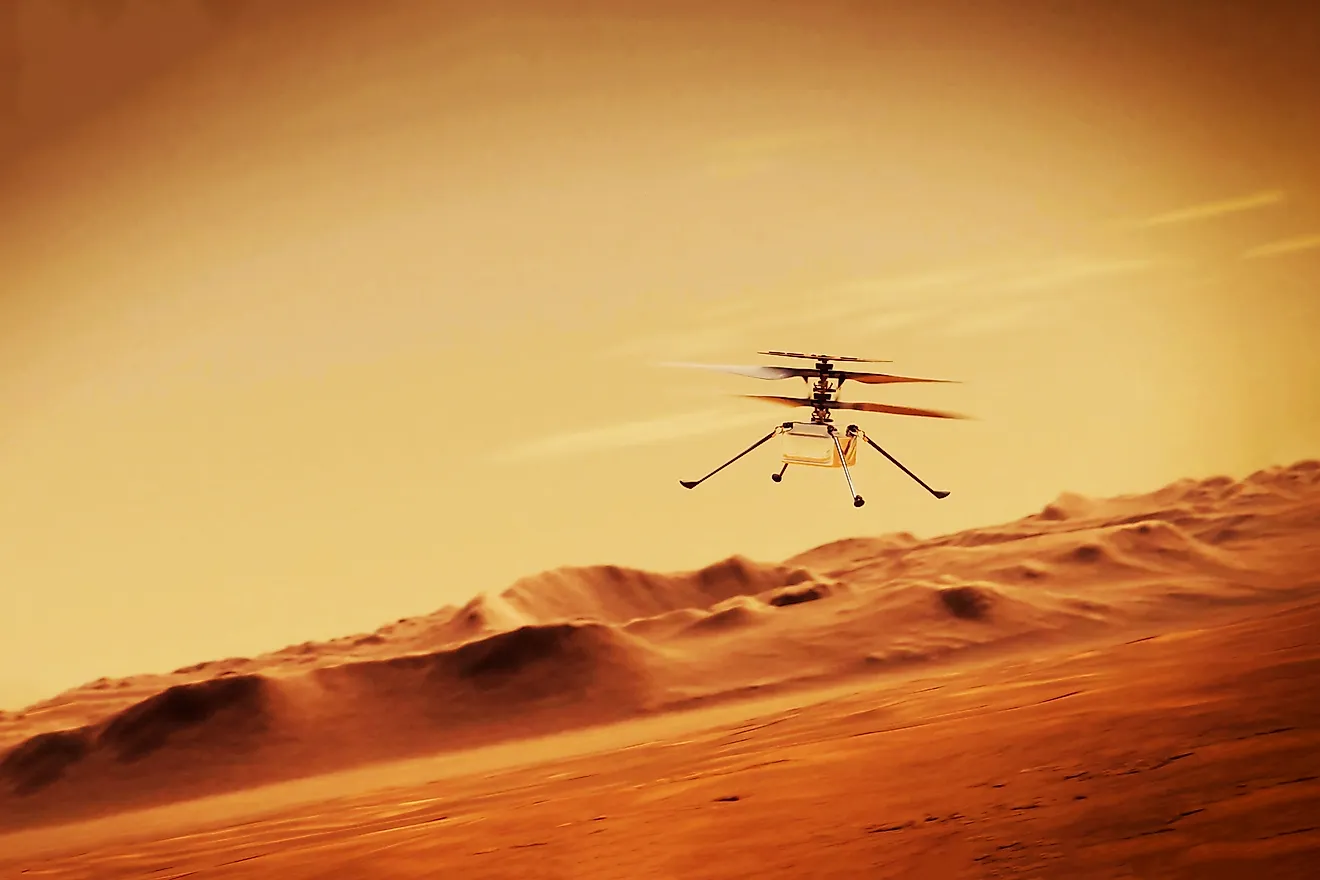
There are currently three operational rovers on Mars. Curiosity and Perseverance are both operated by NASA, while the Zhurong rover is operated by China. In addition to the three rovers, there are currently eight spacecraft in orbit around Mars.
Water On Mars

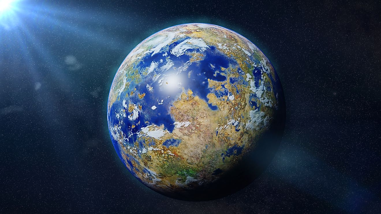
Although Mars is dry and barren today, it wasn’t always that way. Around three-billion years ago, Mars almost looked like Earth. The atmosphere had high amounts of oxygen, and liquid water flowed across the surface as streams, rivers, lakes, and perhaps even oceans. Evidence for water on Mars is widespread. Martian rovers have discovered direct evidence of water in the form of rocks and minerals. The Martian surface is dominated by basalt: igneous rocks composed of olivine, plagioclase, and pyroxene. When these rocks come in contact with water, the water can alter the rocks both physically and chemically. These new minerals are referred to as hydrated minerals. When the basalt on Mars comes in contact with water for a period of time, minerals such as gypsum, sulphate, carbonate minerals, and clay minerals are produced. Scientists have discovered all of these minerals on Mars. Given that these minerals can only form in the presence of water, there is very good reason to believe that liquid water did exist on Mars. In addition to chemical evidence, orbiting satellites and rovers have uncovered stunning physical structures that likely formed from flowing water. These include lake beds, river channels, ocean basins, and even deltas.
History Of Mars

To understand how Mars went from a blue planet to a red one, we must take a look at what science has revealed about its history. The history of Mars is divided into four separate periods of time: Pre-Noachian, Noachian, Hesperian, and Amazonian. The Pre-Noachian period is the time period from 4.5 to 4.1billion years ago. It represents the time period between the formation of the Red Planet to the beginning of the Late Heavy Bombardment. Very little is known about this time period because geologic forces have reshaped the surface of Mars since that time. From 4.1 to 3.7 billion years ago, Mars was in the Noachian Period. This period of time was primarily categorized by the Late Heavy Bombardment, a period of time where debris from the formation of the solar system was literally bombarding the planets. It was during this same period on Mars that life began to take hold on Earth. Amazingly, it was during the Noachian Period that water likely began flowing in abundance across the Martian surface. It was also during this period that Mars is believed to have become habitable. Not only was liquid water present, the atmosphere was far denser and warmer than it is today. Furthermore, organics began to form in abundance in the Martian water. If life ever did arise on Mars, it would likely be during this time period. For the next 700-million years, Mars would remain a habitable world. However, things began to change during the next era: the Hesperian Period. Beginning 3.7 billion years ago and ending 3 billion years ago, the Hesperian was a very interesting time period for Mars. Massive floods were common in this era, as were volcanic eruptions. In fact, it was during this time period that the largest volcano in the solar system began to form: Olympus Mons. At 25 km in height, it is nearly three times higher than Mt. Everest. However, as the Hesperian came to an end 3 billion years ago, Mars was no longer the blue marble it once was. Its magnetic field was getting weaker, and as a result, it had no protection against the solar wind. Eventually, radiation from the sun stripped Mars of its once dense atmosphere. Temperatures began to plummet, its water either froze or was broken down by solar radiation. Interestingly, the magnetic field of Mars grew weaker due to a loss of internal heat, a direct result of the fact that smaller planets lose heat faster.
With the loss of its atmosphere and water, Mars quickly turned from oasis to desolation. The once water covered world was now mostly dry and barren. Its rivers and oceans quickly dried or froze, and its oxygenated atmosphere evaporated into space. For nearly a billion years, Mars was about as habitable as the Earth was. It’s entirely possible that during that time, life did form on Mars. If it did, it raises two questions: would life have been able to survive the transformation of Mars, or did it quickly die out? If life did survive and adapt to these conditions, there’s only one place it could still exist: deep underground. Interestingly, Mars didn’t lose all its liquid water. There is enough evidence to suggest that water still exists in liquid form deep underground, protected from solar radiation by a thick layer of rock. However, the only reason this water is able to stay liquid in such cold temperatures is because of the amount of salt dissolved in the water. In fact, the water is so salty that no forms of life on Earth could survive such conditions. If life does exist in these subsurface streams, it would have needed to somehow adapt to these conditions over time. That is possible given how long it took Mars to transform, giving any life forms enough time to potentially adapt to these changing conditions. When looking for life on Mars, there are three possibilities. First, life never arose on Mars and no evidence will ever be found of its existence. Second, life did arise on Mars but was wiped out when Mars became uninhabitable. Third, life arose and adapted to the changing environment, waiting to be discovered deep underground. Hopefully future missions to the Red Planet answer these questions.
Martian Geology

The surface of Mars is a fascinating place. Perhaps most fascinating is the fact that the surface is divided among two large regions called the Highlands and the Lowlands. The highlands exist in the Southern Hemisphere while the lowlands exist in the Northern Hemisphere. The two regions are very different from each other in terms of surface geology. The northern lowlands are characterized by vast smooth plains and volcanoes, while the southern highlands are characterized by a large number of impact craters. These differences suggest that, for whatever reason, the lowlands are of a younger age than the highlands. A smooth surface and a lack of impact craters suggests a history of geologic activity. Another explanation is that the Northern Hemisphere of Mars was impacted by a large, nearly planet-sized object around four billion years ago. If this is the case, the lowlands could actually be a single impact crater.
Like Earth, Mars is home to two large polar ice caps, one in the North Pole and one in the South Pole. The polar ice caps on Mars are about 70% water ice. The remaining 30% is a combination of frozen carbon dioxide and carbon monoxide. Like the polar ice caps on Earth, the Martian ice caps can grow and shrink depending on the season. During the summer, heat from the sun melts frozen carbon dioxide and carbon monoxide, which then return to the atmosphere. During the winter, these two gases become frozen and are deposited on the surface. The melting and freezing of gases in the Martian atmosphere also has an effect on the planet’s weather. The process of melting and freezing the polar ice caps transports dust and water vapor across the Martian surface, creating clouds, winds, and even dust storms.
Martian Volcanoes And Canyons

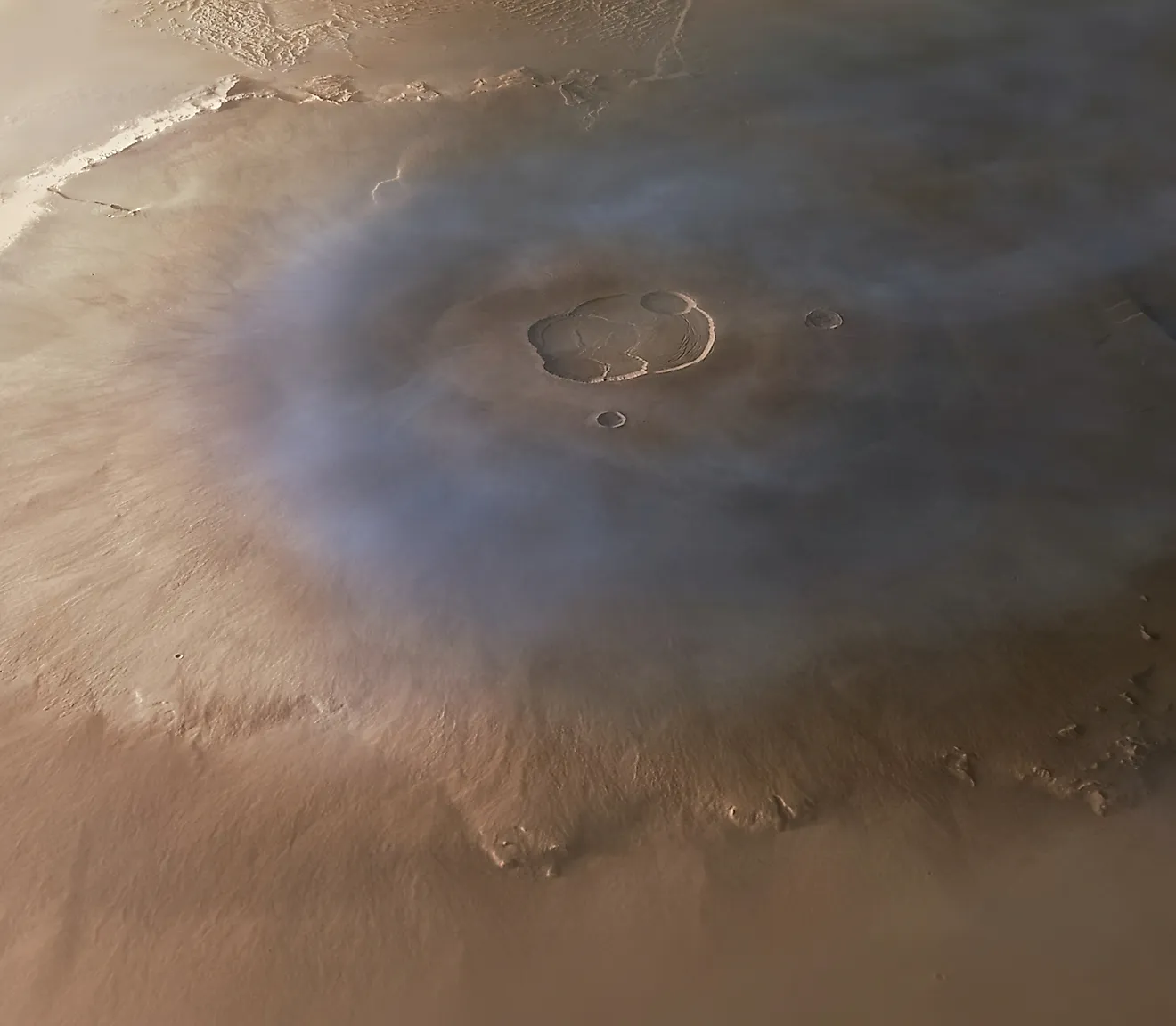
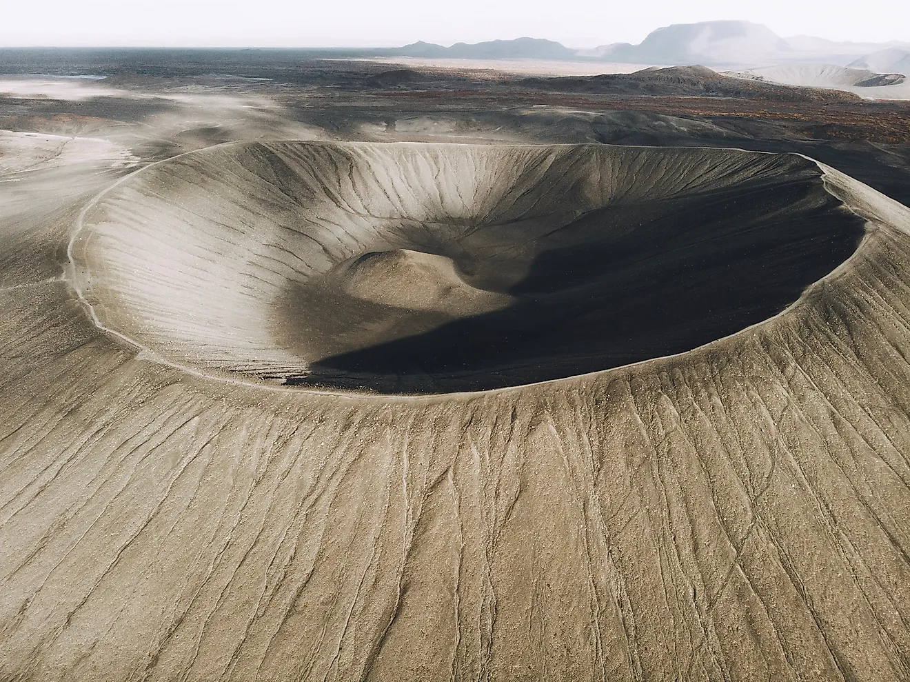
Standing at 21,000 meters high, Olympus Mons is the largest volcano on Mars, located in a region known as the Tharsis Region. Billions of years ago, this area was extremely active with hotspots. These hotspots continually supply the surface with fresh lava that piles up, cools, solidifies, and leaves a mountain behind. On Earth, this process is limited due to the movement of Earth’s crust via plate tectonics. Hawaii is a perfect example of volcano formation on Earth compared to volcanoes on Mars. The volcanoes of Hawaii formed over top of a volcanic hotspot located beneath the pacific plate. As plates move across the surface of the planet, the hotspots beneath them remain stationary. As the hotspot is releasing lava to the surface and building a volcano, the forming volcano may move away from the hotspot and its formation will come to a halt. In this way, the plates act like a conveyer belt while the hotspot continually drops new material onto the conveyor belt to be moved away. On Earth, one hotspot may produce multiple volcanos, as it did in Hawaii. Mars, however, is a different story. The volcanoes formed in virtually the same way; a hotspot located underneath the Martian crust supplied the surface with fresh lava that cooled and solidified to form a volcano. However, unlike Earth, Mars does not have any plates. Rather, one plate encompasses the entire planet. Because of this, forming volcanoes are unable to move away from hotspots, and thus one hotspot will create one gigantic volcano rather than the multiple volcanoes it otherwise would make here on Earth. Gravity is also an important factor. Gravity on Earth is much stronger, and it will prohibit any mountain from reaching a certain size. On Mars, gravity is much weaker and so mountains have more room to form in. These and other factors have allowed Martian volcanoes to grow to fantastic sizes. Olympus Mons is so large, it’s nearly the same size as the country of France.
In addition to being home to the largest volcano in the solar system, Mars is also home to one of the largest canyons. The Valles Marineris is a vast canyon that stretches over a distance of 2,500 miles (4,000 kilometres), and averages at 4.3 miles deep (seven kilometres). The largest canyon on Earth, the Grand Canyon, is 277 miles (446 kilometres) in length and has an average depth of 1.2 miles (two kilometres). This means that the Valles Marineris is nearly nine times the size of the Grand Canyon. The Valles Marineris is so large that if it were placed on Earth, it would nearly stretch across the entire United States. Exactly how this gigantic canyon formed is still a mystery, yet it’s likely the result of the Martian crust breaking apart. Not far from the Valles Marineris is the Tharsis Region, which happens to be home to all of Mars’s large volcanoes. As gigantic volcanoes formed in the Tharsis Region, the underlying crust simply could hold itself together. Eventually, the crust itself collapsed and the formation of the Valles Marineris began. Over time, erosion from volcanic eruptions, weather, water, and asteroid impacts caused the Valles Marineris to grow in size, eventually becoming one of the largest known structures in the solar system.
| Diameter | 4,228 miles (6,804 kilometres) |
|---|---|
|
Mass |
1.409 x 10^24 pounds (0.107 Earths) |
|
Weight of 100 pound person |
37.7 pounds |
|
Moons |
2 |
|
Distance from the Sun |
141.6-million miles (210-million kilometres) |
|
Orbital Period |
687 Earth days |
|
Rotational Period |
24.5 hours |
|
Surface Temperature |
minus 9 degrees Fahrenheit (minus 22.7 degrees Celsius) |
|
Atmospheric Composition |
90% carbon dioxide |
|
Surface Composition |
Oxygen, silicon, iron |
|
Discovery Date |
Over 5,000 years ago |
|
Discovered By |
Sumerian Civilization |