Where is Nigel, South Africa?
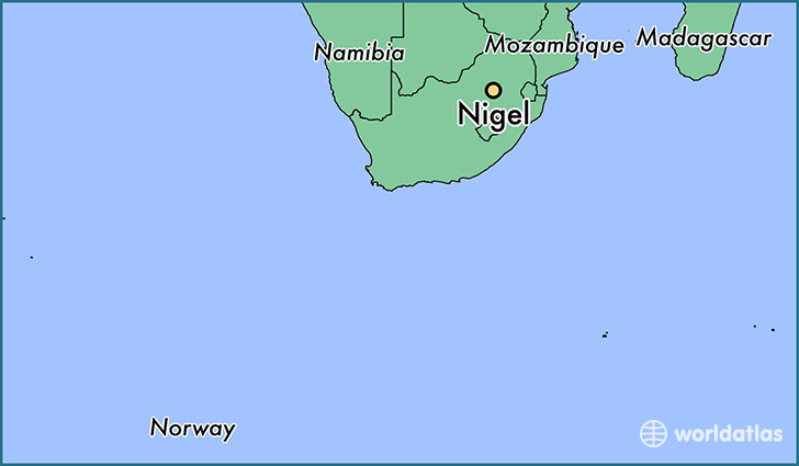
Nigel is a city found in Gauteng, South Africa. It is located -26.43 latitude and 28.48 longitude and it is situated at elevation 1566 meters above sea level.
Nigel has a population of 140,644 making it the 18th biggest city in Gauteng. It operates on the SAST time zone, which means that it follows the same time zone as Johannesburg.
Quick facts
| Country | South Africa |
| Governorate | Gauteng |
| Population | 140,644 |
| Elevation | 1,566 m over sea level |
| Time Zone | SAST |
| Longitude | 28.477130 |
| Latitude | -26.431380 |
This page was last updated on October 2, 2015.