Where is Port Elizabeth, South Africa?
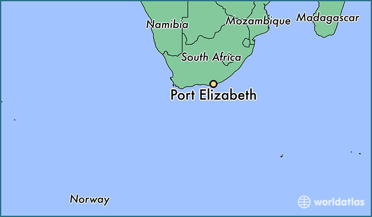
Port Elizabeth is a city found in Eastern Cape, South Africa. It is located -33.92 latitude and 25.57 longitude and it is situated at elevation 37 meters above sea level.
Port Elizabeth has a population of 967,677 making it the biggest city in Eastern Cape. It operates on the SAST time zone.
Quick facts
| Country | South Africa |
| Governorate | Eastern Cape |
| Population | 967,677 |
| Elevation | 37 m over sea level |
| Time Zone | SAST |
| Longitude | 25.570070 |
| Latitude | -33.917990 |
This page was last updated on October 2, 2015.