Zanzibar Archipelago
The Zanzibar Archipelago is an island group located off the coast of Tanzania in the Indian Ocean. The island group is also known as Spice Island because of the important role in supporting the spice trade for centuries. The archipelago is made up of four main islands, of which three are inhabited, while the fourth island is an important seabirds' breeding ground. The main islands are surrounded by numerous islets. Most of the islands belong to Zanzibar, Tanzania’s semi-autonomous region, with Mafia Island and its surrounding islets belonging to the Pwani Region of Tanzania.
Location

The Zanzibar Archipelago is located in the Indian Ocean, off the east coast of Tanzania. The archipelago is an island chain, with Pemba Island near Tanzania’s border with Kenya, Unguja and Latham Island in the middle, and Mafia Island down south. The islands are separated from mainland Tanzania by Pemba Channel, Zanzibar Channel, and the Mafia Channel.
Major Islands

The Zanzibar Archipelago comprises four major islands and numerous other small islands and tiny islets. Unguja Island, also known as Zanzibar, is the archipelago’s largest island by both size and population. The island is 85 kilometers long and 30 kilometers wide, covering 1,666 square kilometers. Unguja is home to 896,700 people. It is located approximately 60 kilometers south of Pemba Island. Unguja is separated from mainland Tanzania by the Zanzibar Channel. It is surrounded by numerous smaller islands and islets, of which only two, Uzi and Tumbatu, are inhabited. Unguja and the surrounding islands comprise three regions; Zanzibar North, Zanzibar South/Central, and Zanzibar West/Urban.
Pemba Island, commonly referred to as “The Green Island,” is the archipelago’s second-largest island, covering 988 square kilometers. It is located 50 kilometers off Tanzania's east coast, across the Pemba Channel. The island is home to 407,000 people, comprising mainly the Arabs and Swahili. It is also surrounded by numerous smaller islands, including Fundo, Funzi, Jombe, Kashani, Njao, and Vikunguni. The island’s economy is dependent on fishing, farming, and tourism.

Mafia Island, locally known as Chole Shamba, is the third-largest island of the Archipelago, occupying 435 square kilometers. It is 49 kilometers long and 17 kilometers wide. The island is a district in Tanzania and does not form part of the Zanzibar semi-autonomous region. It is surrounded by several other smaller islands, including Chole Island. Mafia has a population of 46,850 inhabitants, of which close to 12,000 live in Kilindoni. The island’s economy is based on agriculture, tourism, and fishing.
Latham Island, commonly known as Fungu Mbaraka or Fungu Kizimkazi, is a tiny island administered by the Zanzibari government. The coral island is approximately 0.3 kilometers long and 0.1 kilometers wide and covers about 0.03 square kilometers. Latham is about 66 kilometers east of Dar es Salaam (Tanzania’s former capital) and 60 kilometers southeast of Unguja. It is a vital breeding ground for several bird species, including greater crested tern, masked booby, and brown noody. Latham is an uninhabited island.
Tourism
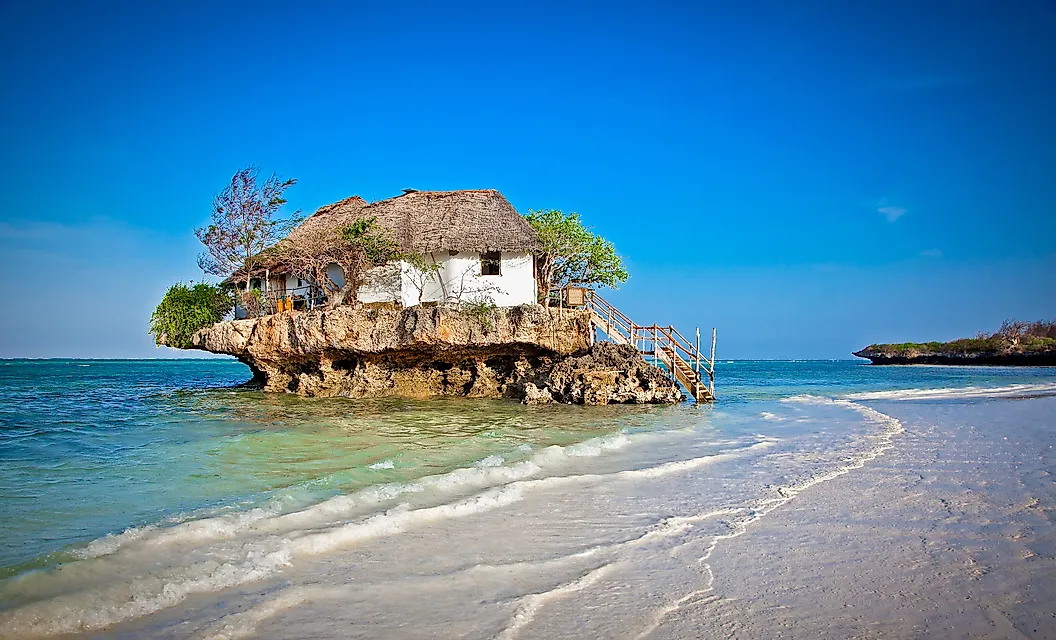
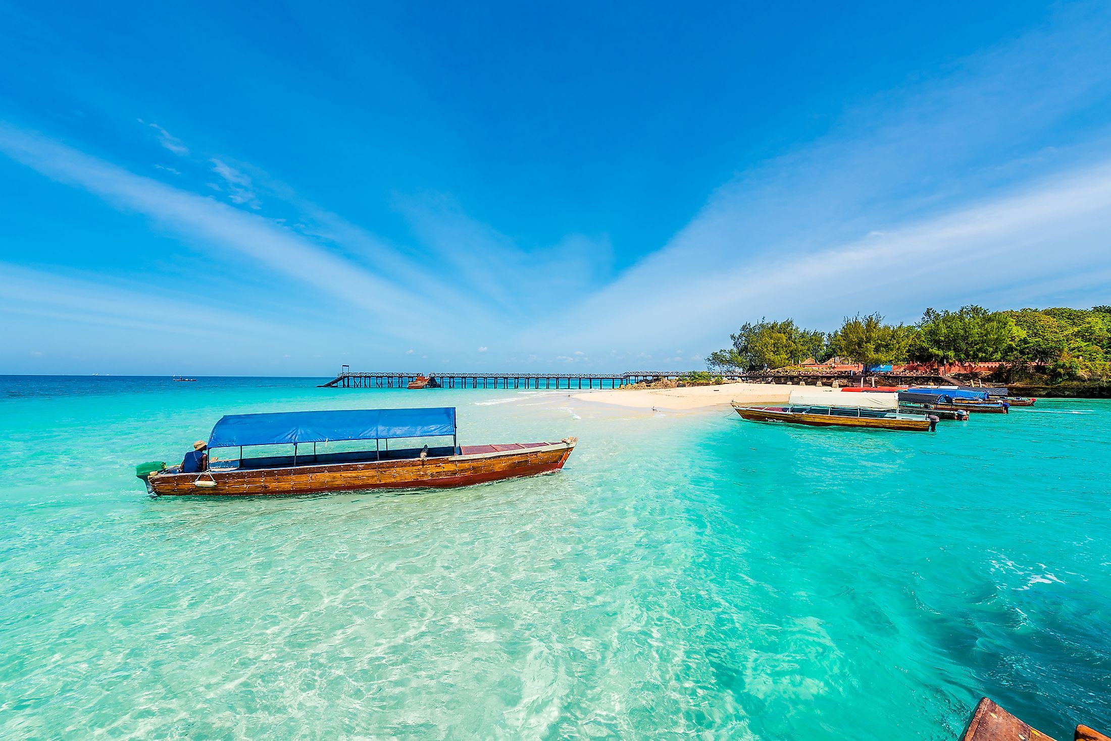
The Zanzibar Archipelago is a major tourist destination in the Indian Ocean. Tourism generates the most income for the islands, accounting for about one-quarter of the total income. The main airport on the Archipelago is the Zanzibar International Airport in Unguja. However, most tourists prefer using ferry services from Dar es Salaam to the islands. The major attraction is the historical Stone Town, a World Heritage Site hosting numerous cultural and historical sites. Other attractions include spice tours, beaches, and Jozani forest.


