St. George's Channel
A channel is defined as a wide waterway that is situated between two landmasses. St. George’s Channel is a wide water passage positioned between the southeastern part of Ireland in the west and the British territory of Wales in the east. The channel has been named in honor of St. George, England’s patron saint, who had traveled to England by sea from the erstwhile Byzantine Empire. It is believed he approached the British Isles from this channel that now bears his name.
Historically, the name St. George has sometimes been used to refer to the entirety of the water separating Ireland from Wales and England, including the Irish Sea, but in modern times this is less common.
Geography

The St. George’s Channel measures about 160 km in length. It has a width of about 76 km at its widest point, which is situated between Carnsore Point in Ireland’s Wexford County and Saint David’s Head in Wales’s Pembrokeshire County. It links the Celtic Sea in the southwest with the Irish Sea in the north.
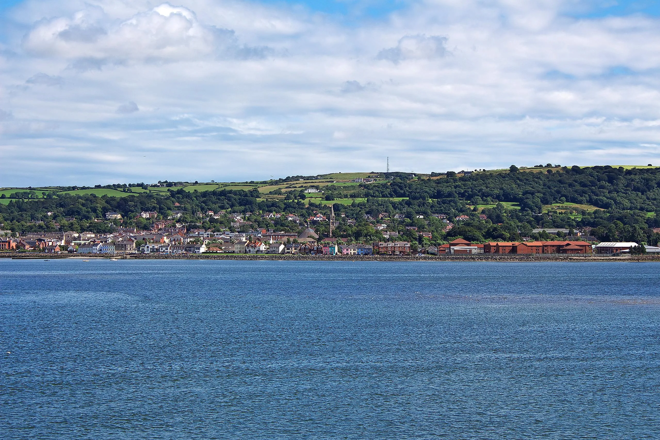
Located along the St. George’s Channel in southeast Ireland is Rosslare Harbor which serves as the country’s principal port.