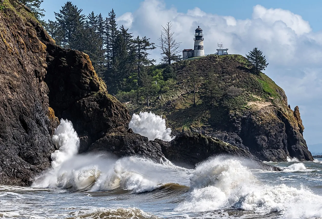
Lake St.Clair
The French explorer Sieur de La Salle René Robert Cavelier discovered Lake St. Clair in 1679 and named the lake “Lac Sainte-Claire” in the honor of Saint Clare of Assisi on whose feast day the lake was first sighted by the explorers. Before the French first sighted the lake, it was used by the Indigenous peoples of the area in their navigation across the Great Lakes for generations. The lake bore many names in the languages of the surrounding First Nations before its current, settler name.
Where Is Lake St. Clair?

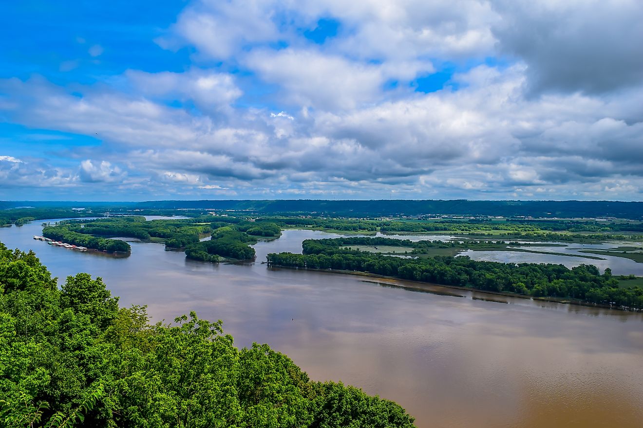
Covering a total area of 1,114 km2, Lake St. Clair is a shallow freshwater lake positioned between the US state of Michigan and the Canadian province of Ontario. Although Lake St. Clair is a part of the Great Lakes System, it is not considered to be one of the “Great Lakes.”
Lake St. Clair is bordered by the Canadian province of Ontario in the east and by the US state of Michigan in the west. In the north, the St. Clair River connects Lake St. Clair with the southern end of Lake Huron. In the south, the Detroit River connects Lake St. Clair with Lake Erie.
Geography

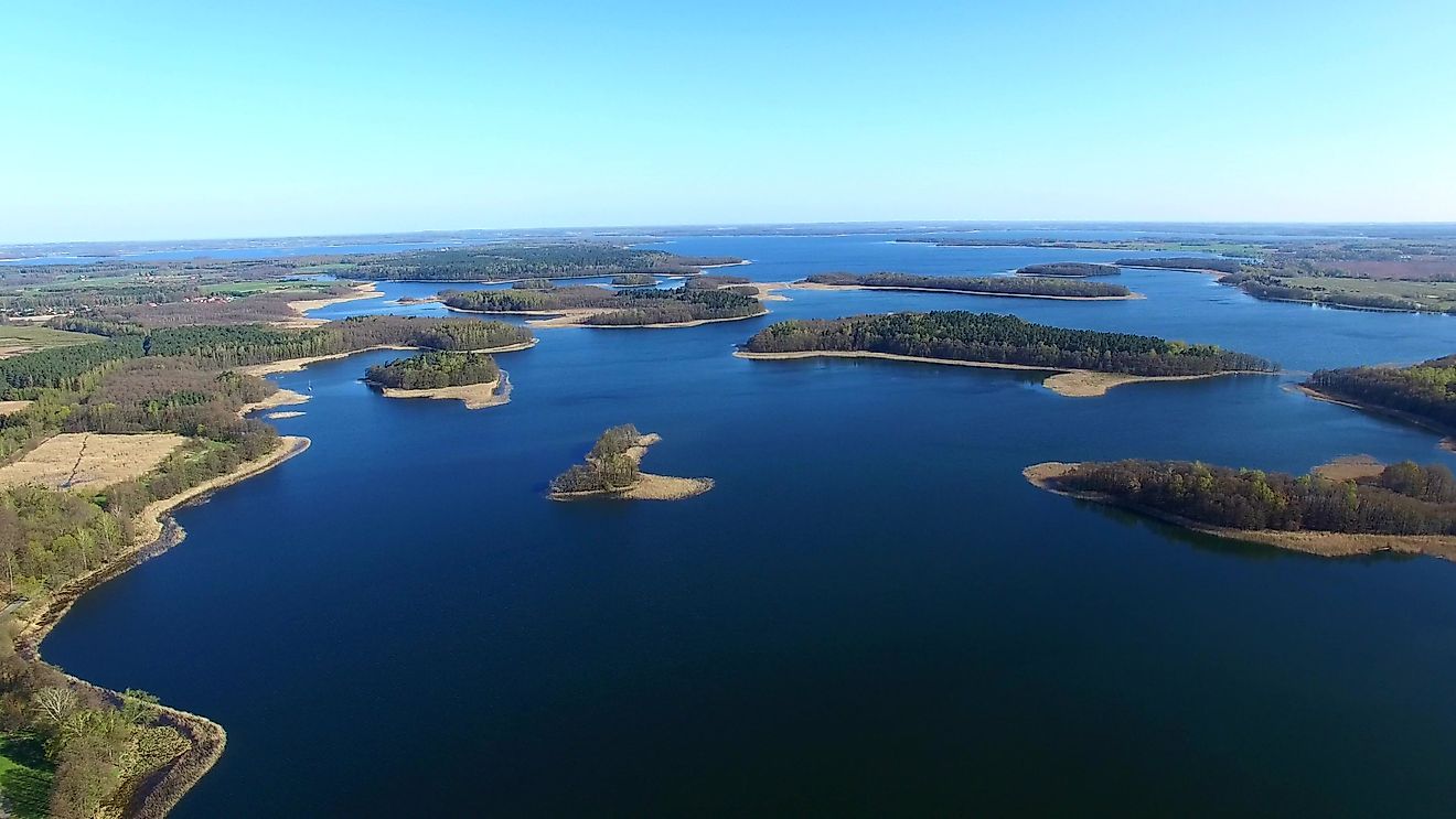
Lake St. Clair is approximately 42 km in length and has a maximum width of 39 km. The lake is relatively shallow with a maximum depth of only 8.2 m and an average depth of about 3.4 m. The entire drainage basin of the lake covers an area of 19,220 km2. Before draining into Lake St. Clair, the St. Clair River branches into several channels and forms an extensive seven-mouth delta in the north-central portion of the Lake. This is the largest delta in the Great Lake system. About 98% of water inflow to the lake is from Lake Huron via the St. Clair River. The remaining 2% of the water inflow is supplied by five other rivers that drain into the lake. These include the Canadian rivers Thames and Sydenham and the US rivers Clinton, Belle, and Black. This large inflow of water to the lake in comparison to the lake’s volume results in the complete exchange of the lake’s water after every 5 to 7 days.
The Great Lakes St. Lawrence Seaway is an 8.2 m deep navigational channel between Lake Huron and Lake Erie that was dredged through Lake St. Clair, to assist in the commercial movement of lake freighters.
Marine Life
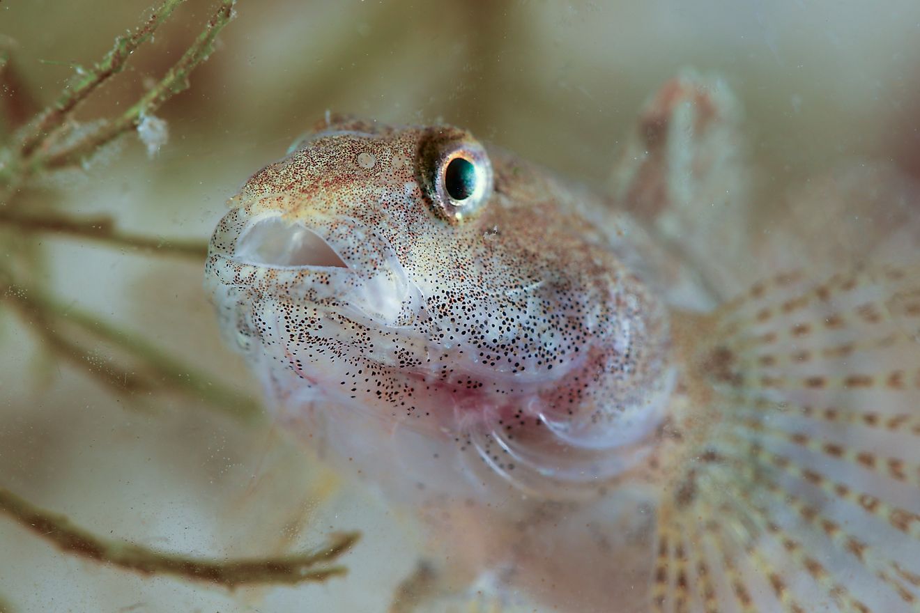
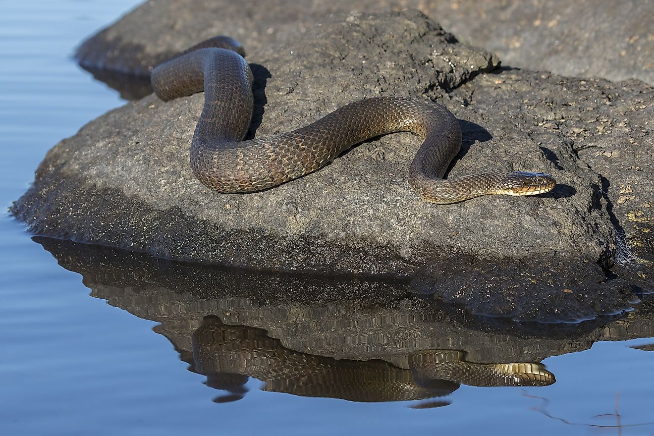
The shores of Lake St. Clair are covered by wetlands and delta marshes, forming the most productive area of the Great Lakes. They provide critical habitats for different species of fish and migratory waterfowls. Some of the fish that are found in the lake waters are yellow perch, lake sturgeon, bullhead, catfish, northern pike, white bass, walleye, muskellunge, rainbow trout, bass, and sunfish. Some of the exotic fish that have been introduced into the lake are alewife, carp, smelt, white perch, and tubenose gobies. Aquatic plants like the Eurasian water-milfoil and the purple loosestrife, different species of crustaceans like rusty crayfish and spiny water flea, and mollusks like the zebra mussel have also been introduced in the lake waters.
Economy

The Lake St. Clair region serves as a popular recreation area where different activities like boating, sportfishing are done by tourists visiting the lake region. Some of the major boat clubs that are located along the lake’s shores include the Grosse Pointe Yacht Club, Clinton River Boat Club, Albatross Yacht Club of Michigan and the Windsor Yacht Club, and Thames River Yacht Club of Ontario. The chief materials that are transported through the lake’s navigational channel are coal, iron ore, grain, and limestone. The lake also functions as a drinking water source for millions of people who reside in the southeastern part of the US State of Michigan.