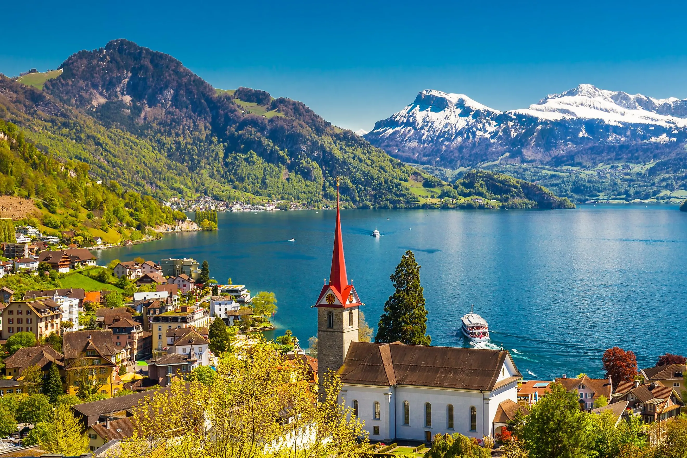
Lake Lucerne
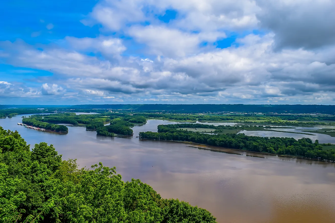
Covering a total area of about 114 km2, Lake Lucerne is a perialpine lake located in the heart of Switzerland. It is also the country’s fourth-largest lake. The lake has been named after Lucerne city, which is situated on the northwestern shore of the lake. In German, French and Italian, the three main languages spoken in Switzerland, the lake's name can be translated into English as "lake of the four forested cantons" or just "lake of the four cantons."
Where Is Lake Lucerne?

The lake is bordered by the Swiss cantons of Lucerne, Schwyz, Nidwalden, and Uri, hence its recognition as the "lake of the four forested cantons." This irregular-shaped lake is situated between the steep limestone mountains of Rigi in the north and Pilatus in the west. Several peaks project downward into the waters of the lake which gives it its irregular shape. These include the Meggenhorn in the north, Seelisberg, and Bürgenstock in the south, and Horw in the west.
Geography

The lake is about 39 km in length and has a maximum width of about 3 km. The lake has a maximum depth of about 214 m and is situated at an elevation of 434 m above sea level. Lake Lucerne is made up of four main basins among which there are two side basins. These basins are the sites of four glaciated valleys that are topographically different from one another and are connected by narrow channels. The lake’s central part is made up of two parallel valleys which lie in the north and south of the Bürgenstock ridge and are connected by a narrow strait. The two rocky parts that protrude into the lake at the strait between the central valleys are commonly known as Unter Nas and Ober Nas. The four major rivers that flow into the lake include Reuss, Muota, Sarner Aa, and Engelberger Aa rivers.
The two highest summits that are located in close proximity to the lake are the Rophaien and Fronalpstock. The drainage basin of the lake culminates at Mount Dammastock, which rises to an elevation of 3,630 m. The lake’s surface forms the lowest point of the three original Swiss cantons of Nidwalden, Obwalden, and Uri.
Brief History
Lake Lucerne sits in the centre of the four original cantons of the Swiss Confederation, making it a location of historical and patriotic significance. The eastern part of the lake is the site of the fabled Swiss hero William Tell’s leap from a boat in which he was being taken to prison. The meadow of Rütli, which is located on the lake’s western shore, served as the meeting place of the founders of the Swiss Confederation. The Everlasting League, which paved the way for confederation, was formed at Brunnen, which is also situated close to the lake. Since 1230, the lake has played a major role in Switzerland’s transport system.
Human Settlement

The major Swiss settlements that are located along the lake’s shores are Lucerne, Gersau, Küssnacht, Vitznau, and Weggis. The notable towns of Bauen, Buochs, Stansstad, and Treib are located along the western part of the lake while the towns of Flüelen, Greppen, and Sisikon are located along the lake’s southern coast.
Lake Lucerne serves as a popular tourist destination and therefore several hotels and resorts are found along the lake’s coastline. The peak tourist season on the lake is between mid-May to end of September. Some of the notable tourist locations along the lake include the Astrid Chapel, Carving Tower of Stansstad, Rütli, Neu-Habsburg, Meggenhorn Castle, etc.
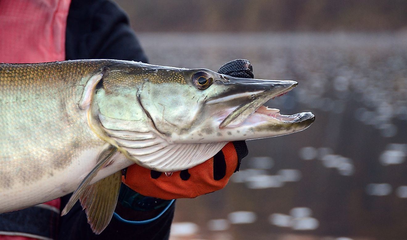
Some of the major fish species that are found in the lake include bass, carp, catfish, lake trout, perch, and whitefish. The forests along the lake’s shores are home to various mammals like chamois, deer, foxes, and marmots.