Diomede Islands
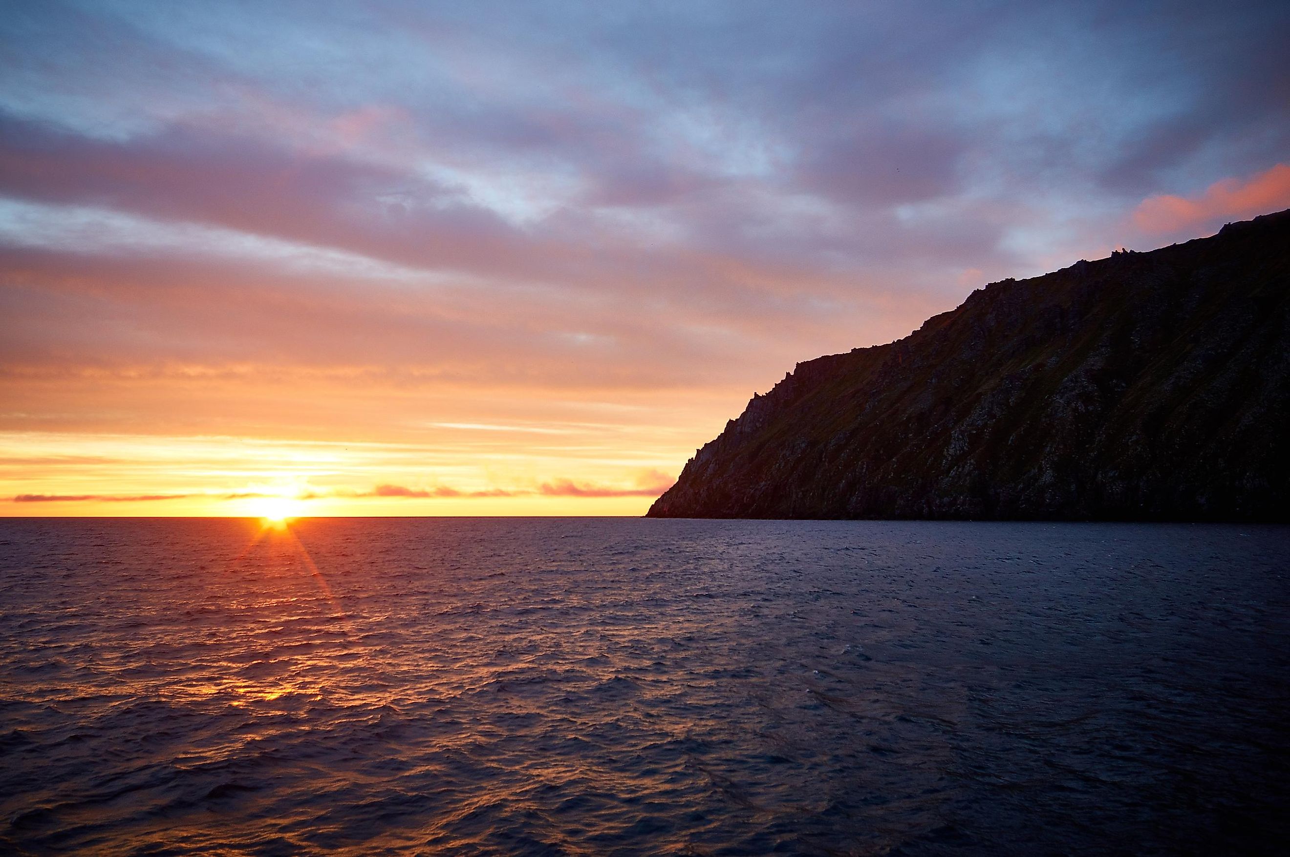
The Diomede Islands are two small rocky islands that are positioned in the center of the Bering Strait between the Siberian mainland and the US state of Alaska. The larger island, known as the Big Diomede or Ratmanov Island, forms a part of Russia’s Chukotka Autonomous Okrug and is considered as the easternmost point of Russia. The Little Diomede Island, also known as Iŋaliq in the Inupiaq language, is administered by the United States.
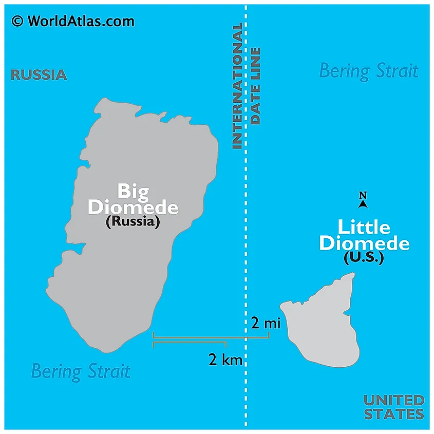
The distance between Big Diomede and Little Diomede Islands is only about 3.75 km. The two islands are separated by the American-Russian maritime border and the International Date Line. Big Diomede is also known as Tomorrow Island while the Little Diomede is referred to as Yesterday Isle. This is because Big Diomede on the Russian side is about 21 hours ahead of Little Diomede on the American side.
Big Diomede
Covering an area of 29 km2, Big Diomede Island is situated about 45 km southeast of Cape Dezhnev on the Chukchi Peninsula. The island’s highest point rises to an elevation of 477 m. There is no permanent population on the island and it serves as an important site for a Russian weather station and a border service station. About 11 seabird species including the guillemots and puffins are found on Big Diomede Island. Mammalian species such as bearded and ringed seals, polar bears, Pacific walruses, and bowhead and gray whales are also found on and around the island.
Little Diomede
Covering an area of about 7.3 km2, the Little Diomede Island is the smaller of the two Diomede Islands and is situated about 25 km to the west of the Alaskan mainland. The island’s highest point rises to an elevation of 494 m. The village of Diomede (or Iŋaliq) is the only settlement on the island, located on the western shore. It is inhabited by Inupiaq peoples. This island faces extremely cold winters with average temperatures ranging between -12 to -14°C and quite cold summers with temperatures averaging 4 to 10°C. Cloudy skies and fog cover the island during the summer season.
Brief History
The Russian naval explorer Semyon Dezhnev was the first European to reach the Diomede Islands in 1648. The Danish-Russian navigator Vitus Jonassen Bering rediscovered the islands on August 16, 1728, the date celebrated by the Russian Orthodox Church in memory of the Greek Saint Diomedes, and hence the islands were named in the honor of the saint. In 1867, when Alaska was sold by Russia to the United States, the terms of the purchase designated the boundary between the two countries as being exactly halfway between these two islands. This border between the United States and the former Soviet Union was referred to as the “Ice Curtain” during the Cold War.
