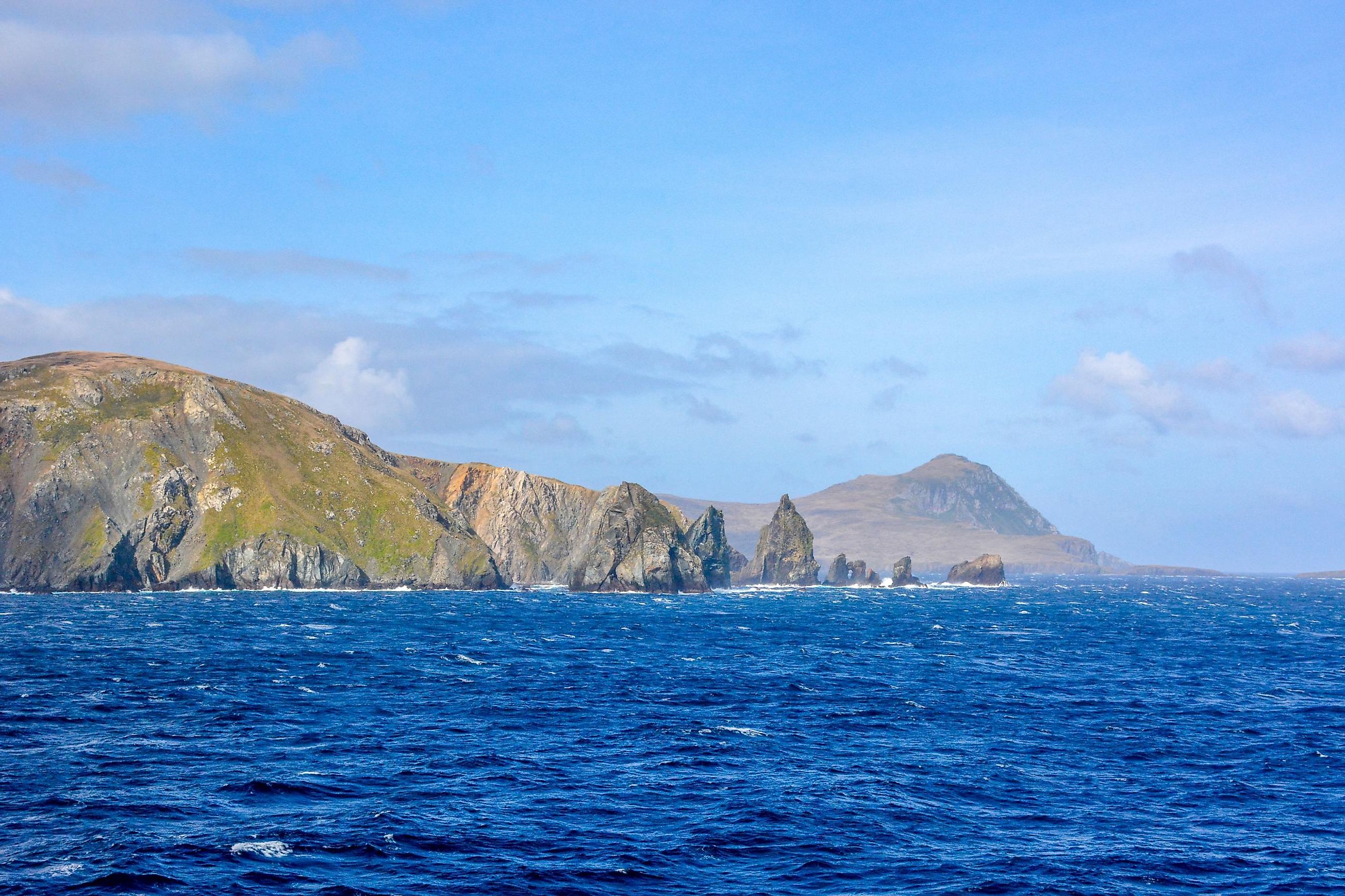
Cape Horn
A Cape can be defined as a large raised landmass that extends into an ocean, river, or lake. These narrow coastal landforms are formed by glacial action, erosion, or by the movement of ocean currents. For several years, capes have been used as significant navigational landmarks by the sailors.
Where Is Cape Horn?

Located on Hornos Island, Cape Horn is the southernmost steep, rocky headland of the Tierra del Fuego Archipelago in the southern part of Chile. Cape Horn marks the meeting point of the Pacific and the Atlantic oceans, as well as the northernmost edge of the Drake Passage.
Cape Horn forms a part of the Cabo de Hornos Commune and is administered as a part of the Magallanes y Antártica Chilena region. The Cape is situated in Cabo de Hornos National Park, which is also the world’s southernmost national park.
Climate
Due to its southern location, the Cape Horn region experiences a windy and cool climate throughout the year. Winds with an average speed of 30 km/hour and squalls having a speed of 100 km/hour have been recorded. Although March is the wettest month with high amounts of rainfall, the precipitation remains high throughout the year.
Brief History

Cape Horn was discovered by Dutch navigator Willem Schouten in 1616. He and his crew members were also the first to round the Cape. Schouten named the Cape as “Kaap Hoorn” after the Dutch city of Hoorn. For several years, the cape served as an important part of the Clipper Route for ships sailing from Europe to East Asia, or from one American coast to the other. However, this navigational route around the Cape Horn was extremely dangerous, due to the presence of several icebergs, strong winds, and currents, as well as giant waves. The Panama Canal’s opening in 1914 significantly reduced the need for sailing vessels to travel around Cape Horn.