Northwest Territories
Northwest Territories Flag

DESCRIPTION
The flag of Northwest Territories was officially adopted in 1969.
It was chosen as the winning entry in a contest for a new flag. Blue is said to be symbolic of the many lakes and rivers in the territory, and white represents the ice and snow.
The white panel displays the shield from the territory's coat of arms, one adopted in 1956. That shield uses green for forests, red for the tundra and white for the Arctic Circle ice cap. The wavy blue line represents the Northwest Passage. Gold blocks represent gold deposits in the territory, and the fox face is symbolic of fur as a natural resource.
All Province and Territory Flags here!
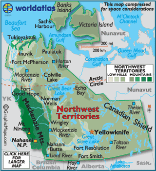
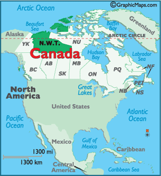
Map of Northwest Territories here!
Map of Northwest Territories here!
 Buy this flag, or any Canadian flag here
Provinces & Territories Of Canada
This page was last updated on July 10, 2020