Maps of Oregon

Oregon, also nicknamed, “The Beaver State”, is located in the Pacific Northwest United States. It shares its northern border with Washington, its eastern border with Idaho, its southern border with Nevada and California, and its western coastline with the Pacific Ocean.
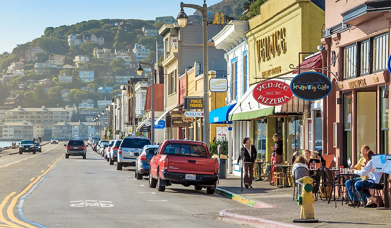
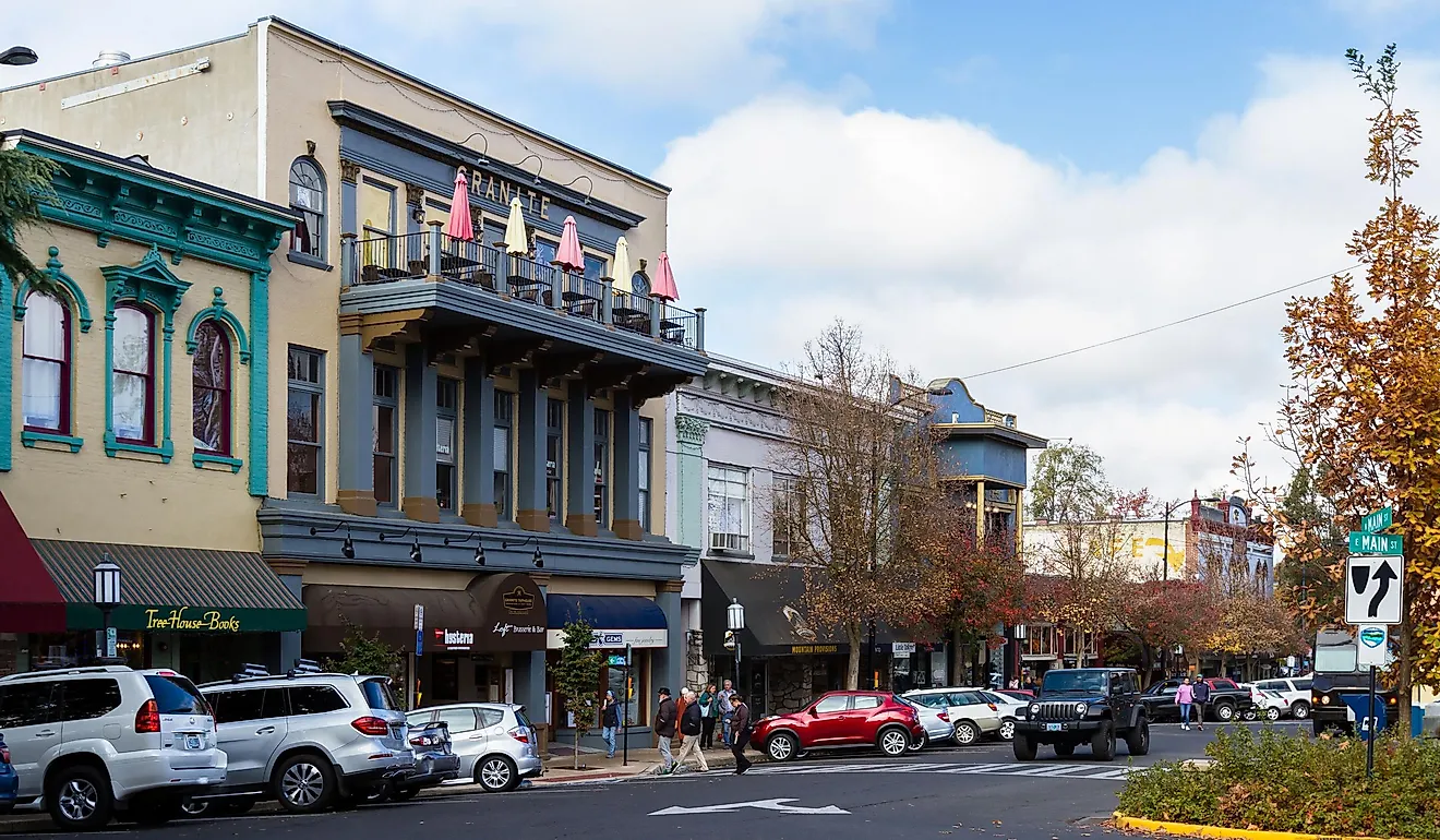
The capital of Oregon is Salem, located in the northwestern part of the state. Portland, the most populous city, is situated in the far northwest and has a metro area population of around 2.2 million people.
In the 1840s, American travelers began arriving on the land of Oregon by the Oregon Trail. In 1846, Britain ceded the Oregon territory to the US, with Oregon officially becoming the 33rd state 13 years later in 1959.
Area
Spanning a total area of 98,379 square miles (254,800 square kilometers), Oregon is the ninth-largest state in the country. It is three times bigger than Austria and half the size of Thailand. Compared to US states, it is about twice the size of Alabama and roughly the same size as Wyoming.
Bodies of Water
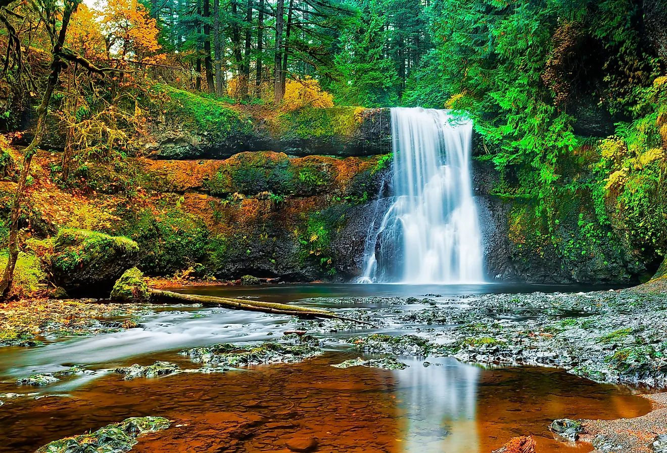
Oregon has 110,994 miles (178,628 kilometers) of rivers, some of the most notable including the Columbia River, which forms its northern border with Washington, the Willamette River, which flows through the northeast through Portland, and the Rogue River, which flows through southwestern Oregon before emptying into the Pacific. Crater Lake, the deepest lake in the United States, lies in the southwest, just east of the Rogue River. In total, there are approximately 1,400 named lakes in the state.
Parks, Forests, and Wildlife Areas
Largely known for its nature, Oregon is home to one national park, 11 national forests, 361 state parks, and 21 national wildlife refuges. Some of the most notable natural areas in Oregon include Crater Lake National Park in the southwest, Fremont National Forest in the southern part of the state and east of the Cascade Mountains, Umatilla National Forest in the Blue Mountains of northeastern Oregon, and Malheur National Wildlife Refuge in the high desert of southeastern Oregon.
Geographic Regions
Oregon can be divided into six physical regions, characterized by diverse plateaus, mountains, and lowlands.
The Columbia Plateau
The Columbia Plateau is the state’s largest region, extending through nearly all of Oregon’s eastern half. The plateau consists of flood basalt and is home to part of Hells Canyon, the country’s deepest river gorge.
Basin and Range Region
To the south of the Columbia Plateau is Oregon’s Basin and Range Region, consisting of a semi-arid climate with sagebrush. The land has various flat basins, interrupted by isolated mountain ranges. Ranching and farming are common throughout this area.
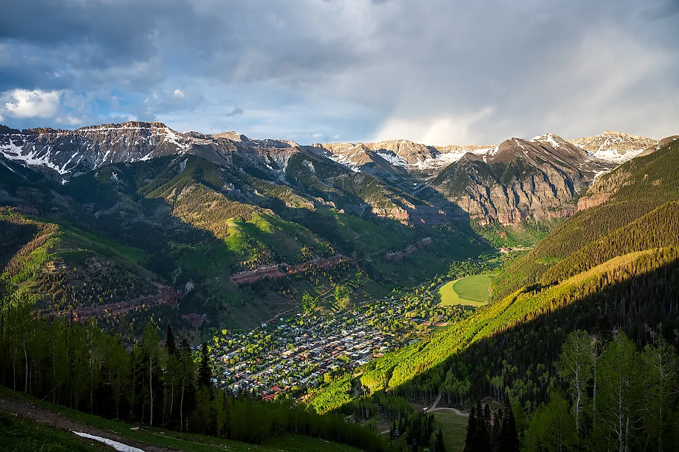
Cascade Mountains
The Cascade Mountains, in northern Oregon, consist of varying high and low points. Nearly the entire range is composed of volcanic rock. Mount Hood, Oregon’s highest point at 11,245 feet (3,427 meters), is situated in this region, as well as Crater Lake.
Willamette Lowland
The Willamette Lowland is located in the state’s northwest and consists of a valley with rich, fertile soil. Around 70% of the state’s population lives here, and over 19,000 acres of vineyards extend through the region.
The Coast Range
To the west of the state lies Oregon’s Coast Range, hugging the Pacific coast. Steep cliffs, low, forested mountains, and small lakes are scattered throughout this area.
The Klamath Mountains
The Klamath Mountains lie in Oregon’s southwestern corner. The altitude varies widely, from approximately 600 feet (180 meters) to over 7,400 feet (2,250 meters). Canyons, flat valleys, mountains, and gentle rolling hills extend throughout.
Counties Map

The State of Oregon is divided into 36 counties. In alphabetical order, these counties are: Baker, Benton, Clackamas, Clatsop, Columbia, Coos, Crook, Curry, Deschutes, Douglas, Gilliam, Grant, Harney, Hood River, Jackson, Jefferson, Josephine, Klamath, Lake, Lane, Lincoln, Linn, Malheur, Marion, Morrow, Multnomah, Polk, Sherman, Tillamook, Umatilla, Union, Wallowa, Wasco, Washington, Wheeler, and Yamhill.
With an area of 254,806sq.km, Oregon is the 9th largest and the 27th most populous state in the USA. Located in the northwestern part of the state, along the Williamette River is Salem – the capital and the 2nd largest city of Oregon. Agricultural food processing, natural resources mining, business services, and manufacturing industries are the main economic sectors in Salem. The city of Salem has been nicknamed the “Cherry City” due to its robust cherry industry since 1847. Situated in the northwestern part of the state, at the confluence of Columbia and Williamette Rivers is Portland – the largest and the most populous city of Oregon. High-tech industries, agricultural food processing, electronics manufacturing, public health-care services are some of the main drivers of Portland’s economy. It also serves as the country’s major port, handling the trade and distribution of wheat and automobile equipment.
Where is Oregon?

The State of Oregon is located in the Pacific Northwest region of the United States. Oregon is bordered by the state of Washington in the north; by Idaho in the east; by Nevada in the southeast; by California in the south; and by the Pacific Ocean in the west.
Regional Maps: Map of North America
Outline Map of Oregon

The above blank map represents the State of Oregon, located in the Pacific Northwest region of the United States. The above map can be downloaded, printed and used for geography education purposes like map-pointing and coloring activities.

The above outline map represents the State of Oregon, located in the Pacific Northwest region of the United States. Oregon has been nicknamed as "The Beaver State".
Key Facts
| Legal Name | State of Oregon |
|---|---|
| ISO 3166 Code | US-OR |
| Capital City | Salem |
| Largest City |
Portland (2,220,044) |
This page was last updated on August 15, 2024