Maps of Montana

Montana is a state located in the western region of the United States. It is the fourth largest state in terms of land area, covering an area of 147,040 square miles. To the east, North Dakota and South Dakota border Montana. Wyoming is south of Montana, while Idaho lies to the west. In the north, it also shares a border with Canada.
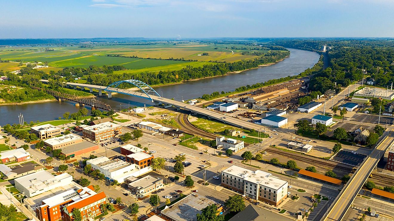
Gently sloped hills and plains characterize the eastern part of Montana. This region, known as the Great Plains, extends into North and South Dakota. The Missouri River flows through this region, providing water for irrigation and transportation.
The Rocky Mountains take claim in the western part of Montana. The Continental Divide runs through this region. This divide separates watersheds that flow to the Pacific Ocean from those that flow to the Gulf of Mexico. Glacier National Park is located in this region and features spectacular mountain cliffs. Situated to the northeast of Yellowstone National Park, which is tucked into Montana's southern border with Wyoming and Idaho, is the Granite Peak – the state’s highest point, which rises to an elevation of 12,810ft.
Central Montana has several large river valleys, including the Yellowstone River Valley and the Gallatin River Valley. Mountains surround these valleys, which provide fertile land for agriculture.
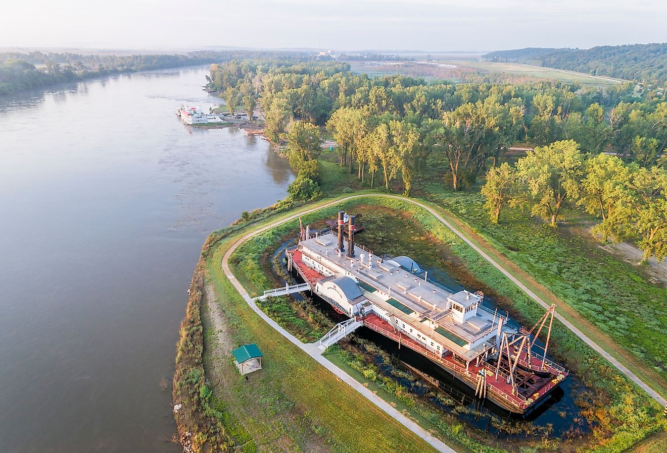
In southern Montana, the headwaters of the Missouri River form in the confluence of the Gallatin, Jefferson, and Madison Rivers. The Missouri River then meanders for over 2,500 miles. Additionally, the Yellowstone River originates in southwestern Wyoming and traverses across Montana before joining the Missouri River in North Dakota. Notably, Montana is unique among U.S. states in that its river waters flow into three distinct bodies of water: the Pacific Ocean, Hudson Bay, and the Gulf of Mexico. Finally, it is worth noting that Montana's lowest elevation point is along the Kootenai River at an altitude of 1,800 feet just south of the Canadian border.
In addition to its mountains and rivers, Montana also has several large lakes. Flathead Lake, located in northwestern Montana, is one of the largest freshwater lakes west of the Mississippi River.
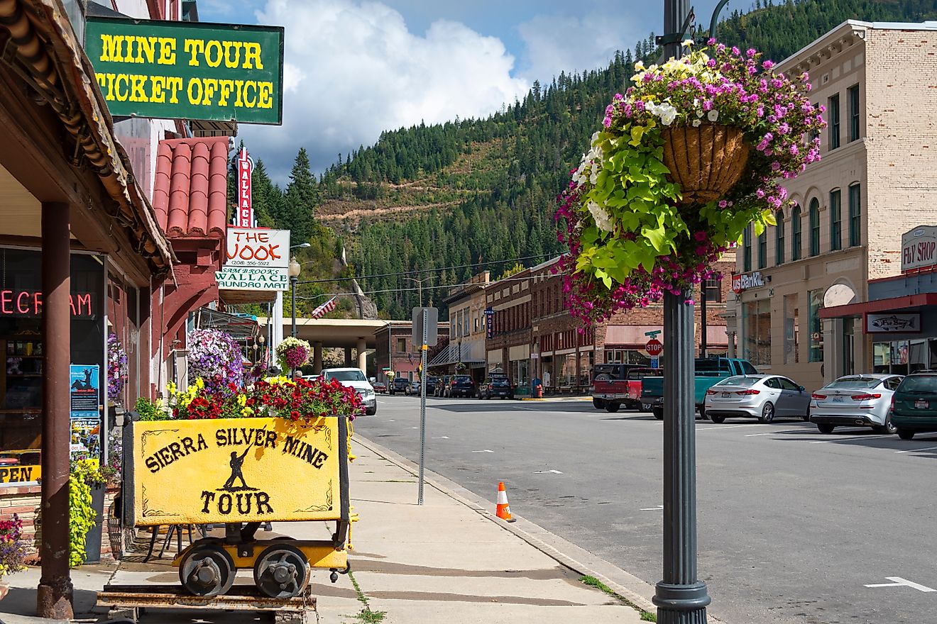
Montana's natural resources include timber, minerals such as gold and copper, oil and gas reserves, and abundant wildlife that supports hunting tourism. Additionally, outdoor recreation such as skiing, hiking, fishing, and camping attract visitors from around the world.
Counties Map

The State of Montana is divided into 56 counties. In alphabetical order, these counties are: Beaverhead, Big Horn, Blaine, Broadwater, Carbon, Carter, Cascade, Chouteau, Custer, Daniels, Dawson, Deer Lodge, Fallon, Fergus, Flathead, Gallatin, Garfield, Glacier, Golden Valley, Granite, Hill, Jefferson, Judith Basin, Lake, Lewis and Clark, Liberty, Lincoln, Madison, McCone, Meagher, Mineral, Missoula, Musselshell, Park, Petroleum, Phillips, Pondera, Powder River, Powell, Prairie, Ravalli, Richland, Roosevelt, Rosebud, Sanders, Sheridan, Silver Bow, Stillwater, Sweet Grass, Teton, Toole, Treasure, Valley, Wheatland, Wibaux, and Yellowstone.
With an area of 380,800 sq. km, Montana is the 4th largest and the 8th least populous state in the USA. Located in the west-central part of the state, in the foothills of the Big Belt Mountains is Helena – the capital city of Montana. Due to its rich gold and silver deposits, the capital city has many mineral production and processing centers. Situated in the south-central part of the state is Billings – the largest city of Montana. It serves as the major financial, medical service, retail, and trading center of the state. It has been nicknamed the “Magic City” because of its rapid growth from an initial railroad town to one of the largest trading areas in the United States.
Where is Montana?

The State of Montana is located in the northwestern United States. The landlocked state of Montana is bordered by the states of Idaho in the west, and by Wyoming in the south. It is also bordered by the Canadian provinces of British Columbia, Alberta, and Saskatchewan in the north.
Regional Maps: Map of North America
Outline Map of Montana

The above blank map represents the State of Montana, located in the northwestern United States. The above map can be downloaded, printed and used for geography education purposes like map-pointing and coloring activities.

The above outline map represents the State of Montana, located in the northwestern United States.
Key Facts
| Legal Name | State of Montana |
|---|---|
| ISO 3166 Code | US-MT |
| Capital City | Helena |
This page was last updated on March 1, 2023