Maps of Georgia

Georgia is located in the southeastern region of the United States and covers an area of 59,425 sq mi, making it the 24th largest state in the United States. It shares borders with Tennessee to the north, North Carolina and South Carolina to the northeast and east, Florida to the south, and Alabama to the west. The Atlantic Ocean lies to the southeast of the state.
Georgia, from southeast to northwest, is divisible into five primary geographic regions:
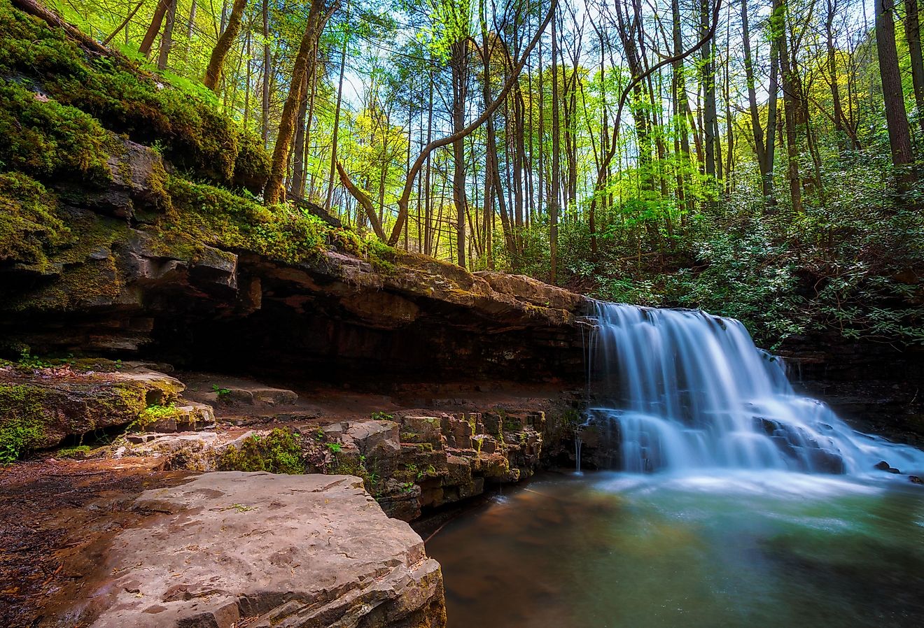
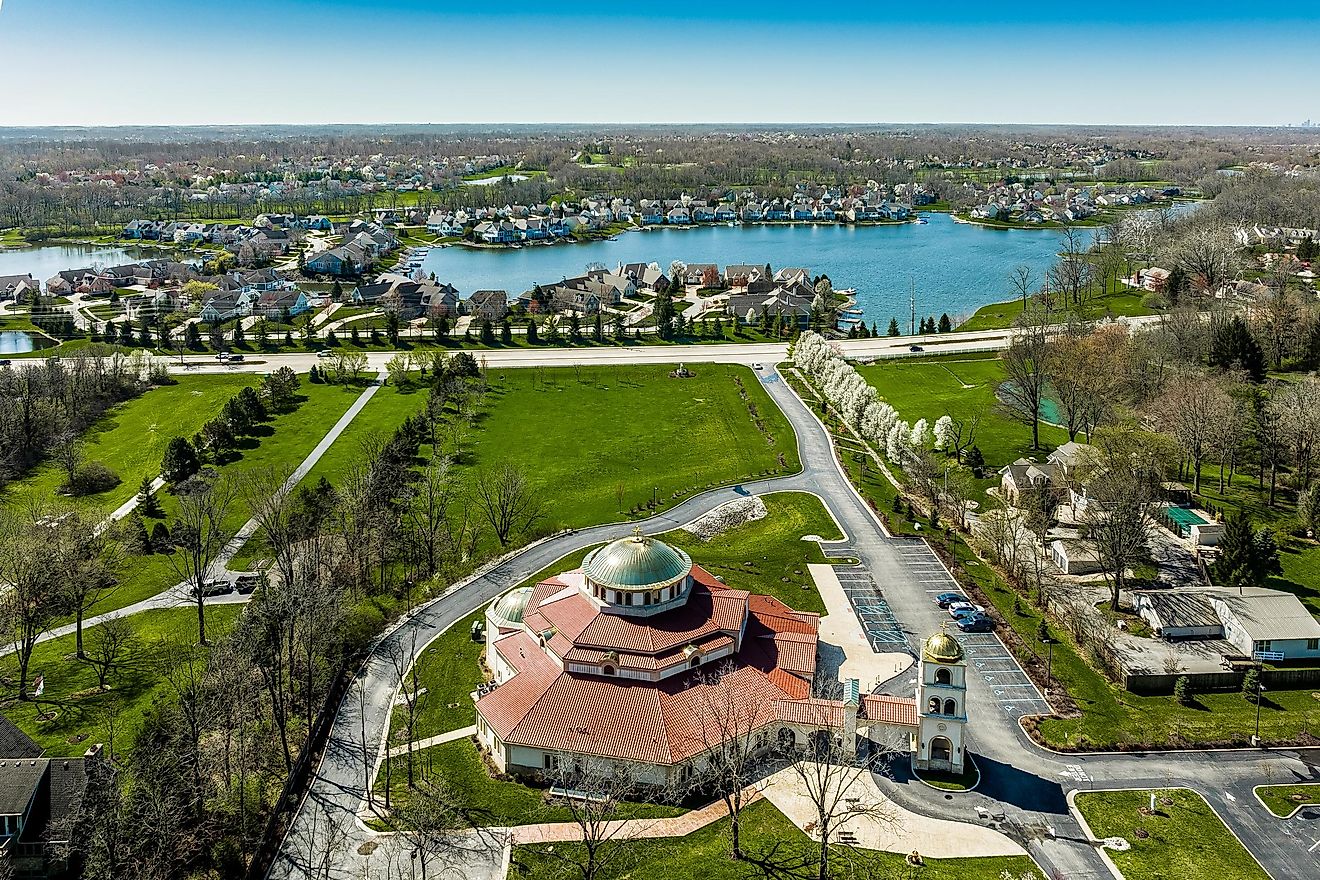
The Coastal Plain dominates the southern part of Georgia. This flat and low-lying region gently slopes towards the Atlantic Ocean. The Coastal Plain includes the Okefenokee Swamp, one of the largest freshwater wetlands in the United States. To the edges of this region are a multitude of small islands, estuaries, and marshes. Several of these islands alongside Georgia’s coast include Sapelo Island, Jekyll Island, St Simons Island, and Cumberland Island. These islands are known for hosting popular stretches of beaches, nature reserves, and wildlife refuges.
The Piedmont: North of the Coastal Plain lies the Piedmont region. The Piedmont extends from the central part of the state to the foothills of the Appalachian Mountains in the north. The area features rolling hills and a more varied topography compared to the Coastal Plain. Stone Mountain, the largest exposed block of granite in the world, sits just east of Atlanta in this region, rising to an elevation of 1,686 feet above sea level. The soil in the Piedmont region proves richer, fostering the growth of forests.
The Blue Ridge region forms a part of the Appalachian Mountains in the northern part of Georgia. It features high mountain peaks, deep valleys, and thick forests. The highest point in Georgia, Brasstown Bald, stands in the Blue Ridge region at 4,784 feet above sea level. This region plays a crucial role in Georgia’s climate by attracting higher rainfall and providing cooler temperatures.
The Ridge and Valley: To the west of the Blue Ridge lies the Ridge and Valley region. This area characterizes itself by alternating ridges and valleys that run parallel to each other. The region supports a variety of vegetation and wildlife and provides a suitable environment for agriculture, particularly in the valleys.
The Appalachian Plateau: In the northwestern corner of Georgia, the Appalachian Plateau region sits. It exhibits a rugged landscape with forested hills and deep gorges. The region also hosts numerous caves and is the smallest geographical region in Georgia.
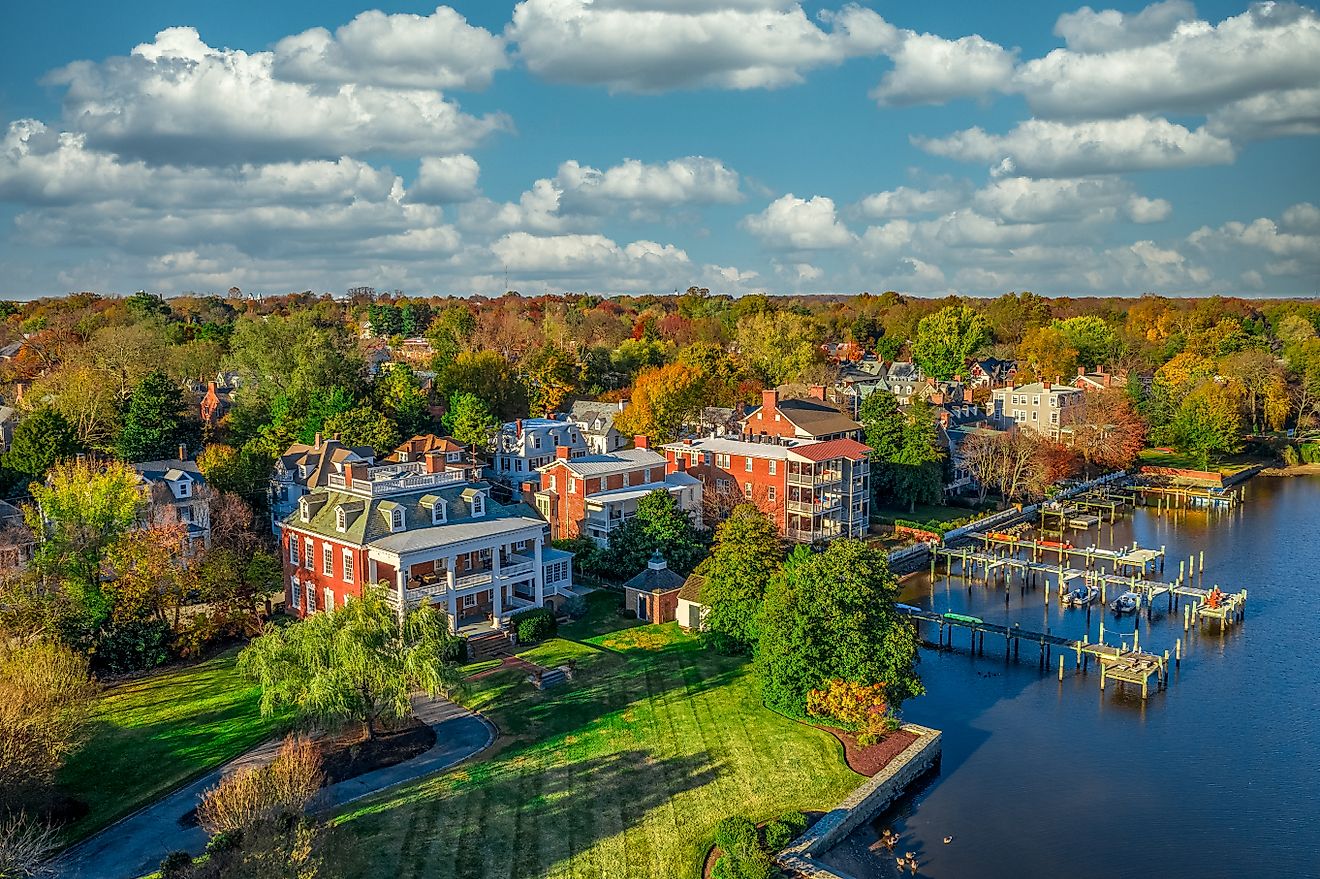
Major Bodies of Water and Rivers: Georgia holds numerous major bodies of water and rivers within its borders. The Savannah River forms the eastern border with South Carolina and flows into the Atlantic Ocean. The Chattahoochee River, significant to Georgia’s water supply, forms part of the border with Alabama and flows into the Gulf of Mexico. Other important rivers include the Ocmulgee and Oconee, which merge to form the Altamaha River, one of the largest and most significant river basins on the eastern coast of the United States. Georgia’s largest lake, Lake Lanier, is a man-made reservoir that plays a significant role in providing water for the various needs of the region. The Atlantic Ocean, bordering Georgia to the southeast, influences the state's climate and weather, contributing to its typically high humidity and precipitation levels.
Counties Map

The State of Georgia is divided into 159 counties. In alphabetical order, these counties are: Appling, Atkinson, Bacon, Baker, Baldwin, Banks, Barrow, Bartow, Ben Hill, Berrien, Bibb, Bleckley, Brantley, Brooks, Bryan, Bulloch, Burke, Butts, Calhoun, Camden, Candler, Carroll, Catoosa, Charlton, Chatham, Chattahoochee, Chattooga, Cherokee, Clarke, Clay, Clayton, Clinch, Cobb, Coffee, Colquitt, Columbia, Cook, Coweta, Crawford, Crisp, Dade, Dawson, Decatur, DeKalb, Dodge, Dooly, Dougherty, Douglas, Early, Echols, Effingham, Elbert, Emanuel, Evans, Fannin, Fayette, Floyd, Forsyth, Franklin, Fulton, Gilmer, Glascock, Glynn, Gordon, Grady, Greene, Gwinnett, Habersham, Hall, Hancock, Haralson, Harris, Hart, Heard, Henry, Houston, Irwin, Jackson, Jasper, Jeff Davis, Jefferson, Jenkins, Johnson, Jones, Lamar, Lanier, Laurens, Lee, Liberty, Lincoln, Long, Lowndes, Lumpkin, Macon, Madison, Marion, McDuffie, McIntosh, Meriwether, Miller, Mitchell, Monroe, Montgomery, Morgan, Murray, Muscogee, Newton, Oconee, Oglethorpe, Paulding, Peach, Pickens, Pierce, Pike, Polk, Pulaski, Putnam, Quitman, Rabun, Randolph, Richmond, Rockdale, Schley, Screven, Seminole, Spalding, Stephens, Stewart, Sumter, Talbot, Taliaferro, Tattnall, Taylor, Telfair, Terrell, Thomas, Tift, Toombs, Towns, Treutlen, Troup, Turner, Twiggs, Union, Upson, Walker, Walton, Ware, Warren, Washington, Wayne, Webster, Wheeler, White, Whitfield, Wilcox, Wilkes, Wilkinson, and Worth.
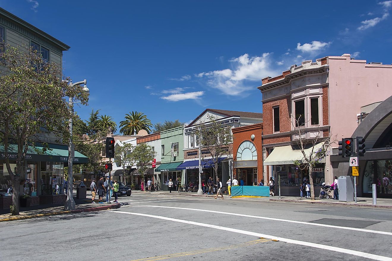
With an area of 153,909 sq. km, the State of Georgia is the 24th largest and the 8th most populous state in the USA. Located in Fulton County (also partly in DeKalb County), at the foothills of the Appalachian Mountains, in the northwestern part of the state is Atlanta – the capital, the largest, and the most populous city of Georgia. Atlanta is the commercial, financial, technology, and education center of Georgia. It also serves as the major trade and transportation center of the southeastern United States.
Where is Georgia?

The State of Georgia is located in the south-eastern region of the United States. Georgia is bordered by the states of Tennessee and North Carolina in the north; by Alabama and Florida in the southwest; and by South Carolina in the east. It is also bordered by the Atlantic Ocean in the southeast.
Regional Maps: Map of North America
Outline Map of Georgia

The above blank map represents the State of Georgia, located in the southeastern region of the United States. The above map can be downloaded, printed and used for geography education purposes like map-pointing and coloring activities.

The above outline map represents the State of Georgia, located in the southeastern region of the United States.
Key Facts
| Legal Name | State of Georgia |
|---|---|
| ISO 3166 Code | US-GA |
| Capital City | Atlanta |
| Major Cities |
|
This page was last updated on January 30, 2024