Maps of Alabama

Alabama, located in the southeastern United States, shares borders with Tennessee to the north, Georgia to the east, Florida and the Gulf of Mexico to the south, and Mississippi to the west. The state encompasses a total area of about 52,419 mi2 (135,767 km2).
Alabama, from north to south, is divisible into five primary geographic regions:
Highland Rim: The Highland Rim, an extension of Tennessee's larger Highland Rim region, characterizes Alabama's extreme northwestern area. This region, encompassing a small part of Alabama, features rolling hills and fertile valleys. It serves as a transitional area between the Appalachian Highlands and the lower-lying areas to the west. The region's elevation varies, but it does not contain the highest or lowest points in the state.
Cumberland Plateau: The Cumberland Plateau, also known as the Appalachian Plateau, extends into northeastern Alabama. This region is marked by rugged terrain, with numerous hills and valleys formed by erosion. It includes the Dismals Canyon, a notable geological feature that offers a glimpse into the ancient Appalachian Mountains' erosional processes. The area's topography significantly influences local climate and vegetation.
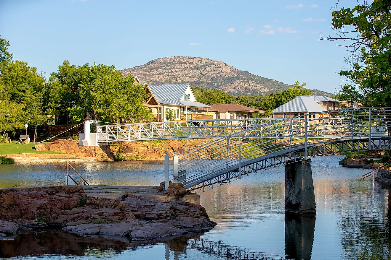
Alabama Valley and Ridge: The Alabama Valley and Ridge region stretches across the central part of the state. It is characterized by long, narrow ridges and valleys that run in a northeast-southwest direction. This region's topography results from the erosion of Appalachian Mountains, revealing various sedimentary rocks. The highest point in Alabama, Cheaha Mountain, with an elevation of 2,407 feet (733 meters), is located in this region, within the Talladega National Forest.
Piedmont Upland: East-central Alabama is dominated by the Piedmont Upland. This area forms part of the larger Piedmont plateau that extends from Alabama into northeastern United States. The landscape here is marked by rolling hills and occasional ridges, with soils typically less fertile than those in the state's other regions. The topography gradually rises from the west towards the mountains of the east and northeast.
East Gulf Coastal Plain: The East Gulf Coastal Plain covers much of southern Alabama, extending to the northwestern corner of the state. This expansive region is characterized by gently rolling plains that slope toward the Gulf of Mexico. It is geologically distinct from the rest of the state, consisting mostly of sedimentary layers. This region includes the Black Belt, known for its rich, dark soil.
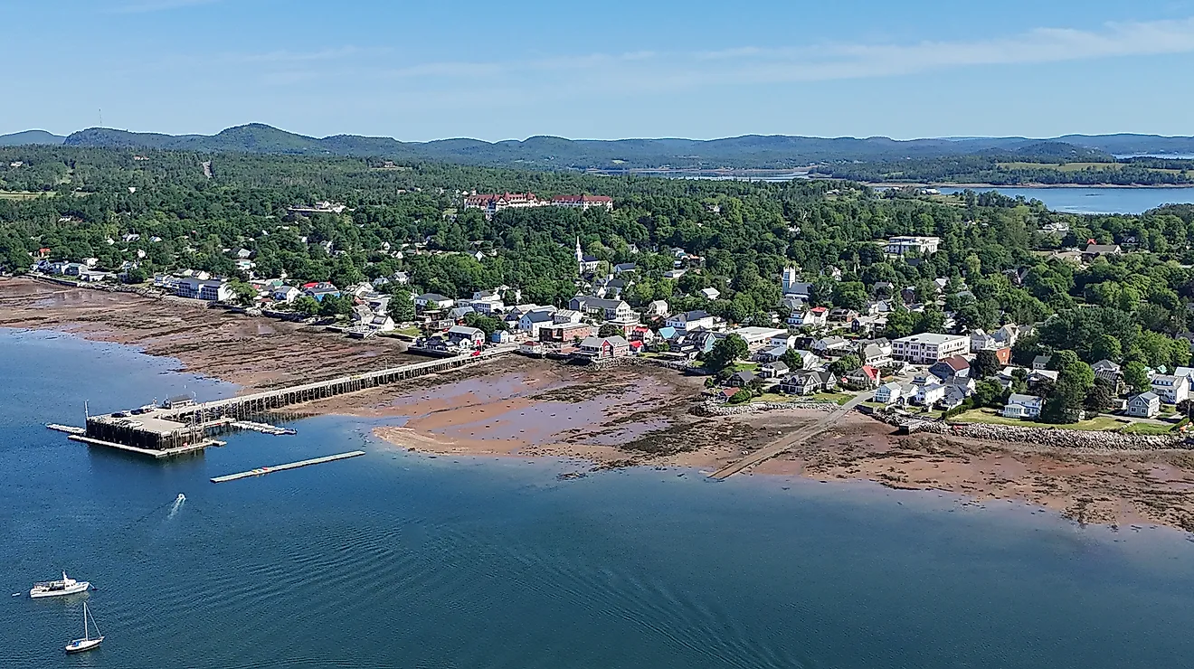
Islands and Major Bodies of Water: The Tennessee, Alabama, Mobile, and Tombigbee rivers are significant, providing water resources, transportation routes, and contributing to the state's landscape diversity. Major lakes include Guntersville, Wheeler, Wilson, and Lewis Smith Lake. Additionally, the state includes Dauphin Island and a portion of the Gulf Coast.
Counties Map

The State of Alabama is divided into 67 counties. In alphabetical order, these counties are: Autauga, Baldwin, Barbour, Bibb, Blount, Bullock, Butler, Calhoun, Chambers, Cherokee, Chilton, Choctaw, Clarke, Clay, Cleburne, Coffee, Colbert, Conecuh, Coosa, Covington, Crenshaw, Cullman, Dale, Dallas, DeKalb, Elmore, Escambia, Etowah, Fayette, Franklin, Geneva, Greene, Hale, Henry, Houston, Jackson, Jefferson, Lamar, Lauderdale, Lawrence, Lee, Limestone, Lowndes, Macon, Madison, Marengo, Marion, Marshall, Mobile, Monroe, Montgomery, Morgan, Perry, Pickens, Pike, Randolph, Russell, Saint Clair, Shelby, Sumter, Talladega, Tallapoosa, Tuscaloosa, Walker, Washington, Wilcox, and Winston.
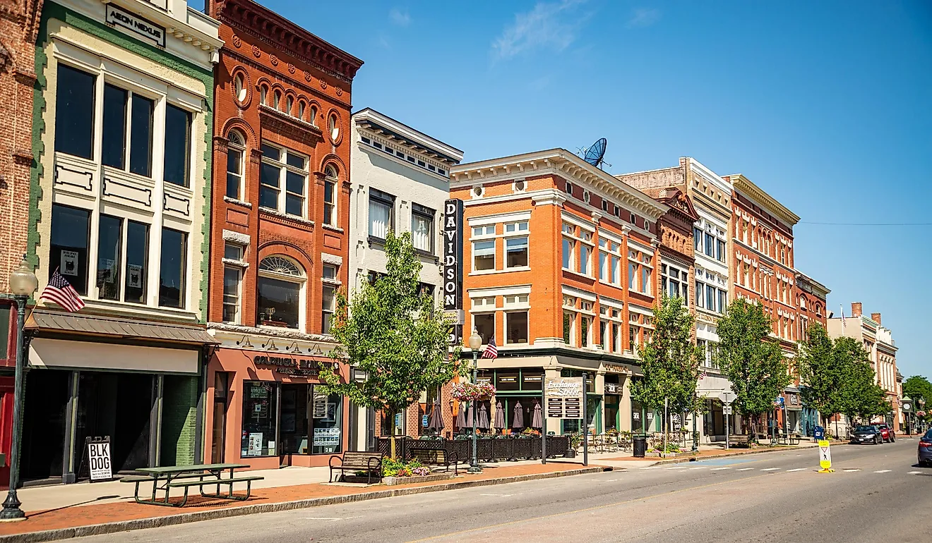
With an area of 135,760 sq. km, Alabama is the 30th largest and the 24th most populous state in the USA. Located in the central part of the state, on the southern shores of the Alabama River is Montgomery – the capital and the 2nd most populous city of Alabama. Due to its central location in the state’s Black Belt region, Montgomery serves as the processing center for a variety of crops, including soybeans, peanuts, and cotton. It is also an important transportation and healthcare hub in the entire Black Belt region of Alabama. Situated in the north-central part of the state – Birmingham is the largest and the most populous city of Alabama. It serves as a cultural, financial, industrial, and economic hub of the state.
Where is Alabama?

The State of Alabama is located in the South-Eastern region of the United States. Alabama is bordered by the state of Georgia in the east; by Mississippi in the west; by Tennessee in the north; and by Florida and the Gulf of Mexico in the south.
Regional Maps: Map of North America
Outline Map of Alabama

The above blank map represents the State of Alabama, located in the South-Eastern region of the United States. The above map can be downloaded, printed and used for geography education purposes like map-pointing and coloring activities.

The above outline map represents the State of Alabama, located in the South-Eastern region of the United States. Alabama has been nicknamed as the "Yellowhammer State" in reference to the state bird - Colaptes auratus (Northern flicker).
Key Facts
| Legal Name | State of Alabama |
|---|---|
| ISO 3166 Code | US-AL |
| Capital City | Montgomery |
| Major Cities |
|
This page was last updated on January 18, 2024