Louisiana Purchase
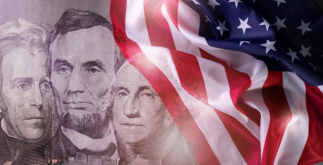
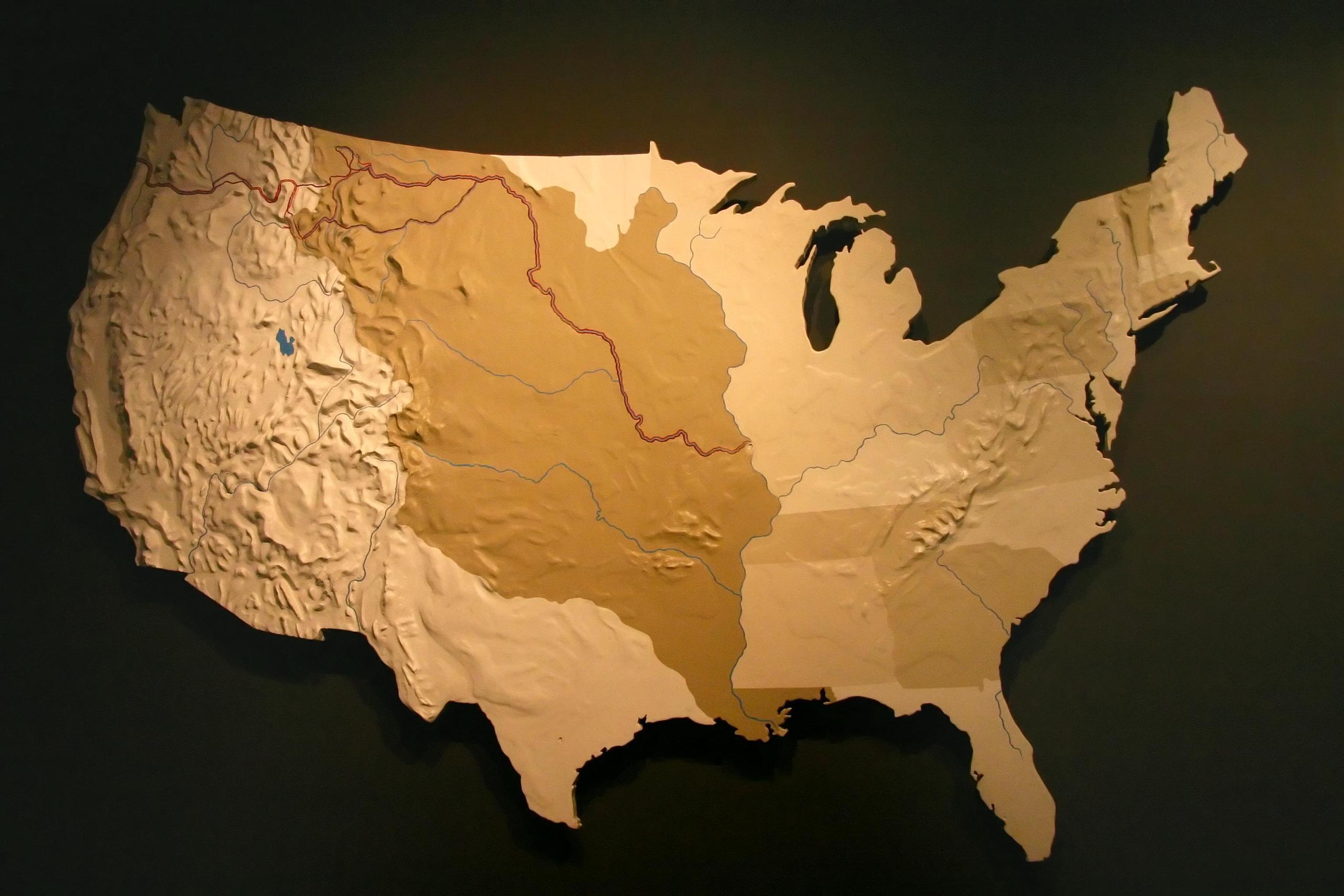
The Louisiana Purchase of 1803 was a land deal between France and the United States that led to the US acquisition of 2,140,000 km2 at a bargain price of $7 per km2. The land, then the French territory of Louisiana, extended from the Rocky Mountains to the Mississippi River and from the Canadian border to the Gulf of Mexico. This land was so large that it doubled the size of the US at the time, with all or part of 15 states created out of the territory of Louisiana. For only $15 million, the land deal is considered one of President Thomas Jefferson’s greatest achievements.

Background
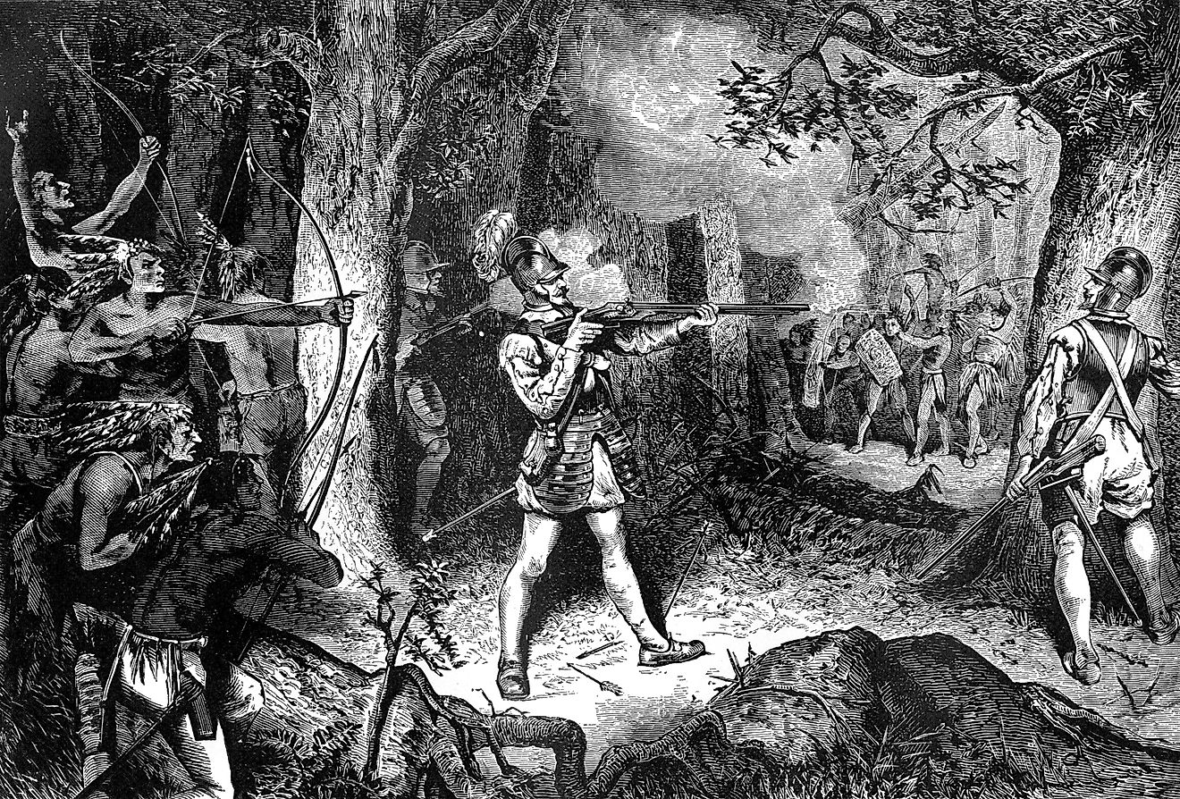
For much of the 17th century, France explored and established settlements in the Mississippi River valley. By the mid-18th century, it had more control in North America than any other European country, with substantial land ownership with the territory of Louisiana. However, in 1762, Spain took possession of the territory in the Treaty of Fontainebleau, following the end of the North American phase of the Seven Years' War between France and Britain. By the end of that war, Spain had gained control over Spanish Louisiana (west of Mississippi River), while Great Britain took control of territory to the river’s east. Spain, which was in a weakened position by the mid-18th century, did not do much to develop the territory after acquiring it. In 1800, Spain transferred the Louisiana Territory back to France, and the transfer was formally completed on November 30, 1803, three weeks before its formal transfer to the US.
The territory’s secret transfer back to France caused unease in the US, with Americans fearing that France, under Napoleon Bonaparte, would control access to the Gulf of Mexico and the Mississippi River. Jefferson and the southerners, fearing that Bonaparte would release slaves held in Louisiana, considered hostility against the French. However, Jefferson settled for a diplomatic approach, with a possibility of entering into land deals with France.
Negotiations

Aware of possible disunion in the country, President Jefferson sent James Monroe (future US president) to join Robert R. Livingston in Paris for New Orleans purchase negotiations. However, when Monroe reached Paris in April 1803, he learned that France had asked Livingston if the US could purchase Louisiana as well. France’s failure to stop slave uprisings in Haiti, the threat from the British who still occupied the continent with their colonies in today's Canada, and economic challenges could have been the factors that led them to offer Louisiana for sale.
President Jefferson seized the opportunity and requested Livingston and Monroe to enter into a negotiation with France over the Louisiana Purchase. Although the US was prepared to pay $10 million for the New Orleans purchase, they were surprised by the $15 million offer for Louisiana and New Orleans. The purchase treaty was agreed upon and signed on April 30, 1803, with Monroe and Livingston representing the US and François Barbé-Marbois representing France.
Conflict And Formal Transfer
The Louisiana Purchase deal was announced to the public on July 4, 1803, and the US Senate ratified the purchase treaty in October. However, the purchase treaty faced opposition from some House of Representative members and federalists, some of whom argued that the land belonged to Spain, not France. Other federalists thought that the deal would threaten the powers of the Eastern Seaboard states. Spain also opposed the sale, arguing that France went against its promise of not selling the land to a third party. However, France officially handed over Louisiana to the US on December 20, 1803. On April 30, 1812, nine years after the land deal, Louisiana joined the Union as the 18th state.