Argo-Saronic Islands
Greece (officially, the Hellenic Republic) features numerous islands among which 227 are inhabited. Depending on their location, these islands are further grouped into several clusters. The island clusters include Cyclades, Dodecanese, Sporades, Crete, Ionian Islands, North Aegean Islands, and the Argo-Saronic Islands.
Geography
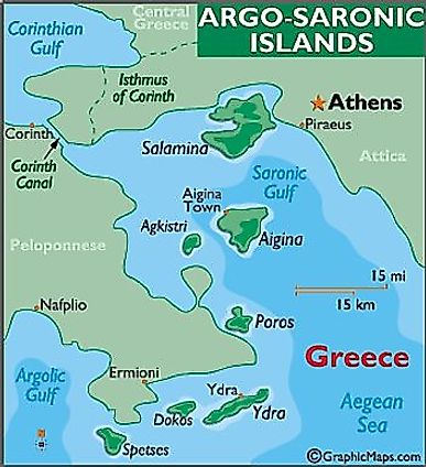
The Argo-Saronic Islands (Saronic Islands) are an archipelago located within the Saronic Gulf, just off mainland Greece. These islands are positioned to the west of the Cyclades Island group, about 8 to 80 km from the coast of Piraeus, the port city of Athens. Some of the principal inhabited islands of the archipelago include Salamis, Aegina, Hydra, Póros, Spétsai (Spetses), Dokos, and Agistri. All these Saronic islands host Greek vacation homes and can be easily accessed by regular ferry services from the mainland.
Salamis
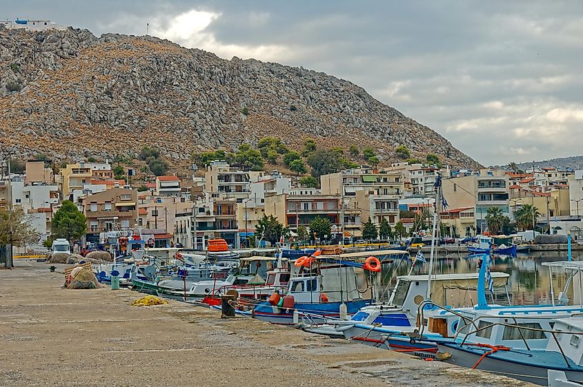
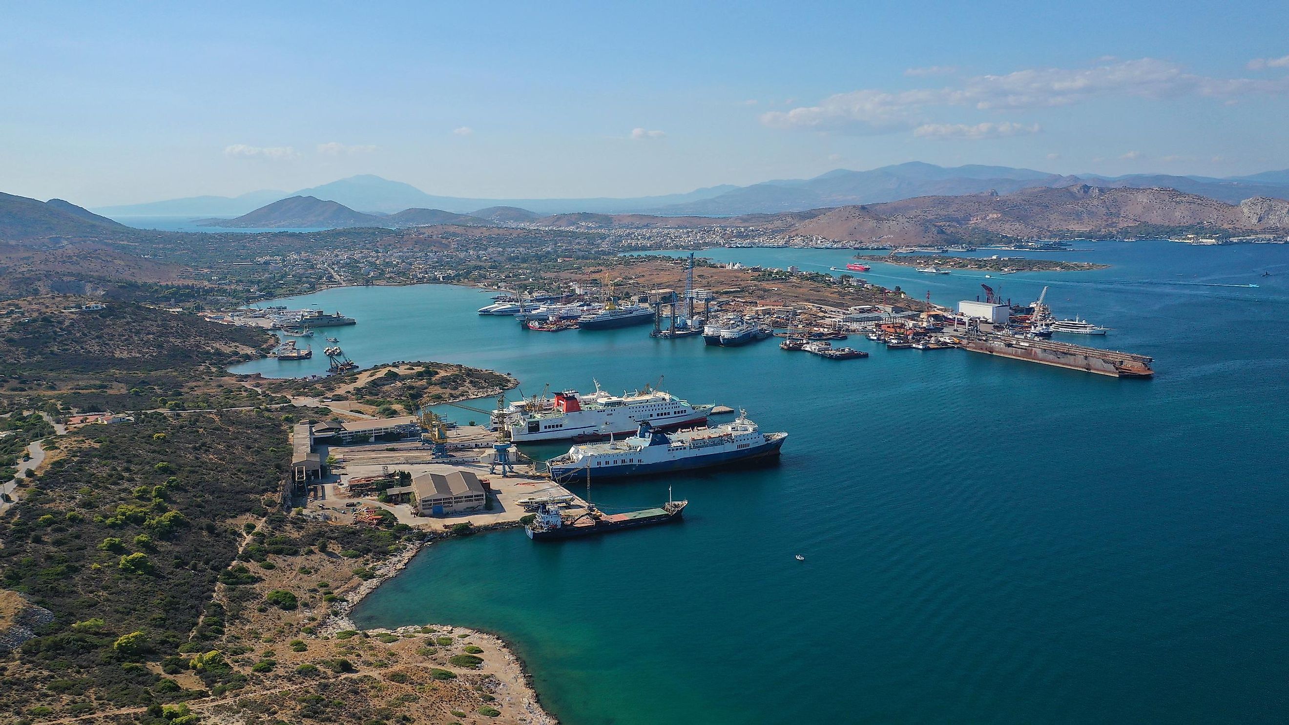
Covering an area of 93 km2, Salamis is the largest island in the Argo-Saronic archipelago, which is located to the west of the port city of Piraeus. A major portion of Salamis is covered by the mountains and Mavrovouni, which rises to an elevation of 404 m, is the highest point on the island. Pine forests dominate the southern portion of the island. The island’s major town (municipality), Salamina, is located on the western coast while Paloukia, the island’s principal port, is located on its eastern coast.
Salamis is widely known for the historic Battle of Salamis, which was a decisive naval battle that was fought in 480 BCE in the Straits of Salamis between the Greeks and the Persians.
Aegina
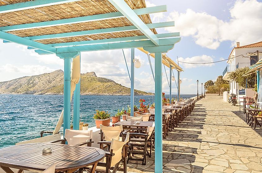
With an area of 83 km2, the roughly triangular-shaped Aegina island is the second-largest island in the Argo-Saronic archipelago, which is situated about 27 km from the city of Athens. About two-thirds of the island is covered by an extinct volcano. The northern and western parts of the island comprise stony hills and fertile plains that are cultivated with almond, olive, fig, cotton, and pistachio trees. The southern part of the island is mountainous and made up of volcanic rocks. The island’s highest point is the conical-shaped Mount Oros, which rises to an elevation of 531 m. Aegina, the island’s principal town and chief port, is located on its western coast.
Located within a sanctuary complex on the eastern part of Aegina is the classical Temple of Aphaea, which is dedicated to the worship of the Greek goddess, Aphaia and is regarded as the most well-preserved temple in Greece.
Hydra
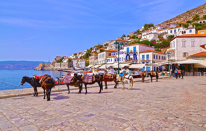
Covering an area of 49.6 km2, the island of Hydra is the third-largest Saronic Island positioned between the Argolic Gulf and the Myrtoan Sea. The island is separated by a narrow water passage from the Peloponnese Peninsula. The island’s highest point is Mount Klimaki, which rises to an elevation of 600 m. The island is noted for its small villages, namely Episkopi, Kamini, Mandraki, Molos, Palamidas, and Vlychos. No motorized vehicles like cars and motorcycles are allowed and therefore only bikes and donkeys provide for local transportation on Hydra. The small rocky island of Dokos, encompassing an area of 12.5 km2, forms a part of the Hydra municipality.
Póros
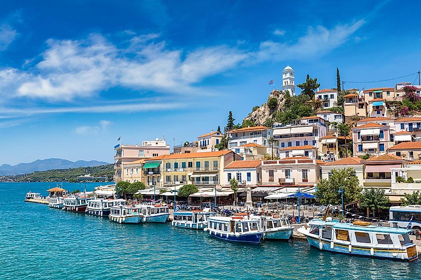
Covering a total area of only 23 km2, Póros Island comprises two small islands of Kalaureia (in the northern part) and Sphaeria (in the southern part) that are joined by a bridge over a narrow strait. The larger Kalaureia island is separated from the city of Galatas on the Greek mainland by a water channel of 200 m. Pine forests occupy large areas in the central and southern portions of the island.
Agistri
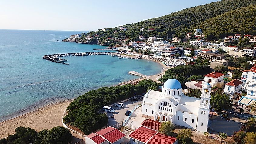
Located close to Aegina is the small island of Agistri. There are three main settlements on the island including Limenaria, Milos, and Skala. The island is dominated by pine forests and covers an area of 13.37 km2.
Spetses
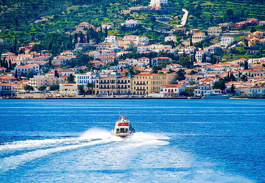
The island of Spetses is an independent municipality located within the administrative region of Attica. The major settlements on the island include the Spetses town, Ágioi Anárgyroi, Kouzoúnos, Moní Ayíon Pánton and Ligonéri. The uninhabited islands of Falkonera, Spetsopoula, and Velopoula are also a part of the Spetses municipality.
