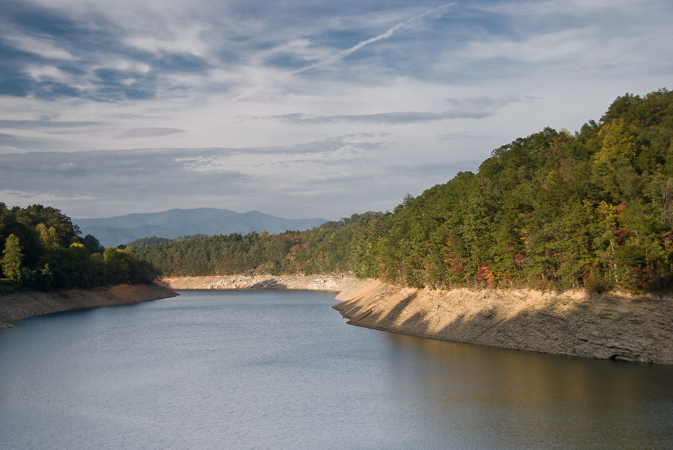
Nantahala River
The Nantahala River rises in the Nantahala Mountains that is situated to the southwest of the city of Asheville in North Carolina, United States, near the state’s boundary with Georgia. The Nantahala River flows through the Nantahala River Gorge in the Swain and Macon Counties in the Nantahala National Forest, close to the Great Smoky Mountains National Park. The Nantahala River finally drains into the Little Tennessee River at Fontana Lake.
Description

The Nantahala River has a length of 77.01km and its drainage basin covers an area of about 454.1 sq. km. The river discharges an average of 17.339 cubic meters per second into the Little Tennessee River. Some of the major tributaries of the Nantahala River include Indian Creek, Kimsey Creek, Johnson Branch, Morris Branch, Mooney Creek, Long Branch, Laurel Branch, etc. The US Highway 19/74 travels along the southern side of the Nantahala River, while the Great Smoky Mountains Scenic Railroad runs along the northern side of the river.

The Nantahala River is one of the most popular rivers in the southeastern United States that offers several recreational activities like whitewater rafting, canoeing, kayaking, etc. The lower part of the river that can be rafted is about 13km long and features Class II and III rapids. The first launch site begins from the Nantahala River Launch Site, close to Beechertown, North Carolina, and ends at the Nantahala Falls. The second launch site starts about 4.82km downstream at Ferebee Memorial Picnic Area. The flow rate of the lower part of the Nantahala River is dependent on the water releases from the Nantahala Lake, which is in turn controlled by the Duke Energy Corporation. The upper part of the Nantahala River extends from the Nantahala Dam to the Nantahala Powerhouse and features many Class III+ to V rapids. The lower part of the Nantahala River serves as a popular destination for fly fishing and supports one of the healthiest populations of the wild Rainbow trout fish in North Carolina. Besides the Rainbow Trout, other trout fishes like Brown trout and brook trout are also found here. The Nantahala River is widely regarded as one of the leading destinations for trout fishing in the Eastern United States.
Brief History

The word “Nantahala” has been derived from the native Cherokee word which means the “Land of the Noonday Sun”. The Nantahala River runs through the Nantahala River Gorge, wherein some areas the walls on either side of the river are towered so high, that the direct lights of the sun can only shine in the gorge during the mid of the day. James Mooney, an early ethnologist, recorded that the name “Nantahala” was a mispronunciation of the Cherokee word “Nun-daye-li” which meant “middle sun”. The Nantahala River Gorge is regarded as a spiritual place by the indigenous Cherokee people. In the late 1700s, some white settlers moved into the area and established homesteads and small communities. During the 1940s, many dams were built in the area which led to the creation of several man-made lakes.


