Deschutes River, Oregon
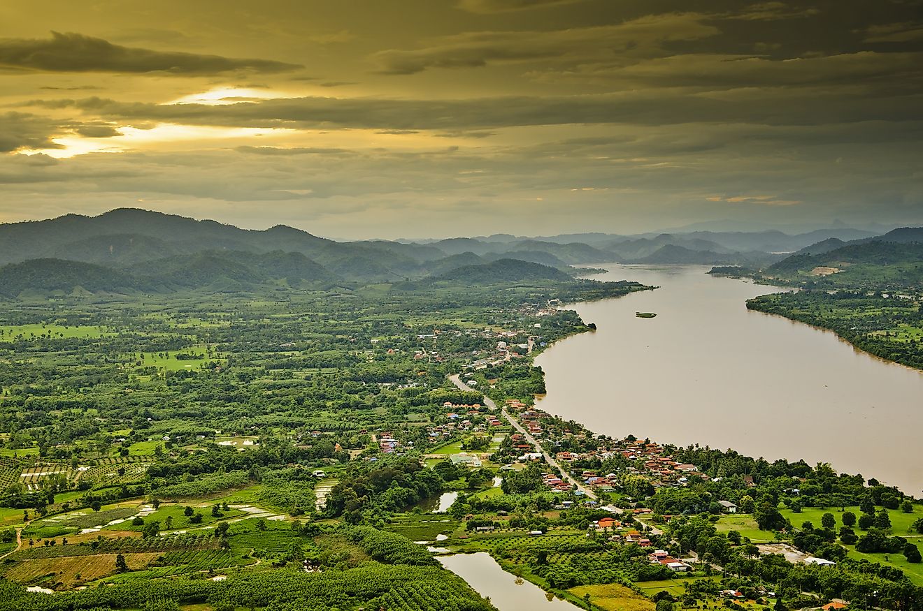
The Deschutes River is a major tributary of the Columbia River that flows through the central part of Oregon, United States. The river flows in the northward direction from the eastern side of the Cascade Range, through the city of Bend, and finally drains into the Columbia River. The Deschutes River currently supplies water for irrigation and serves as one of the most popular destinations for fishing and whitewater rafting during the summer season.
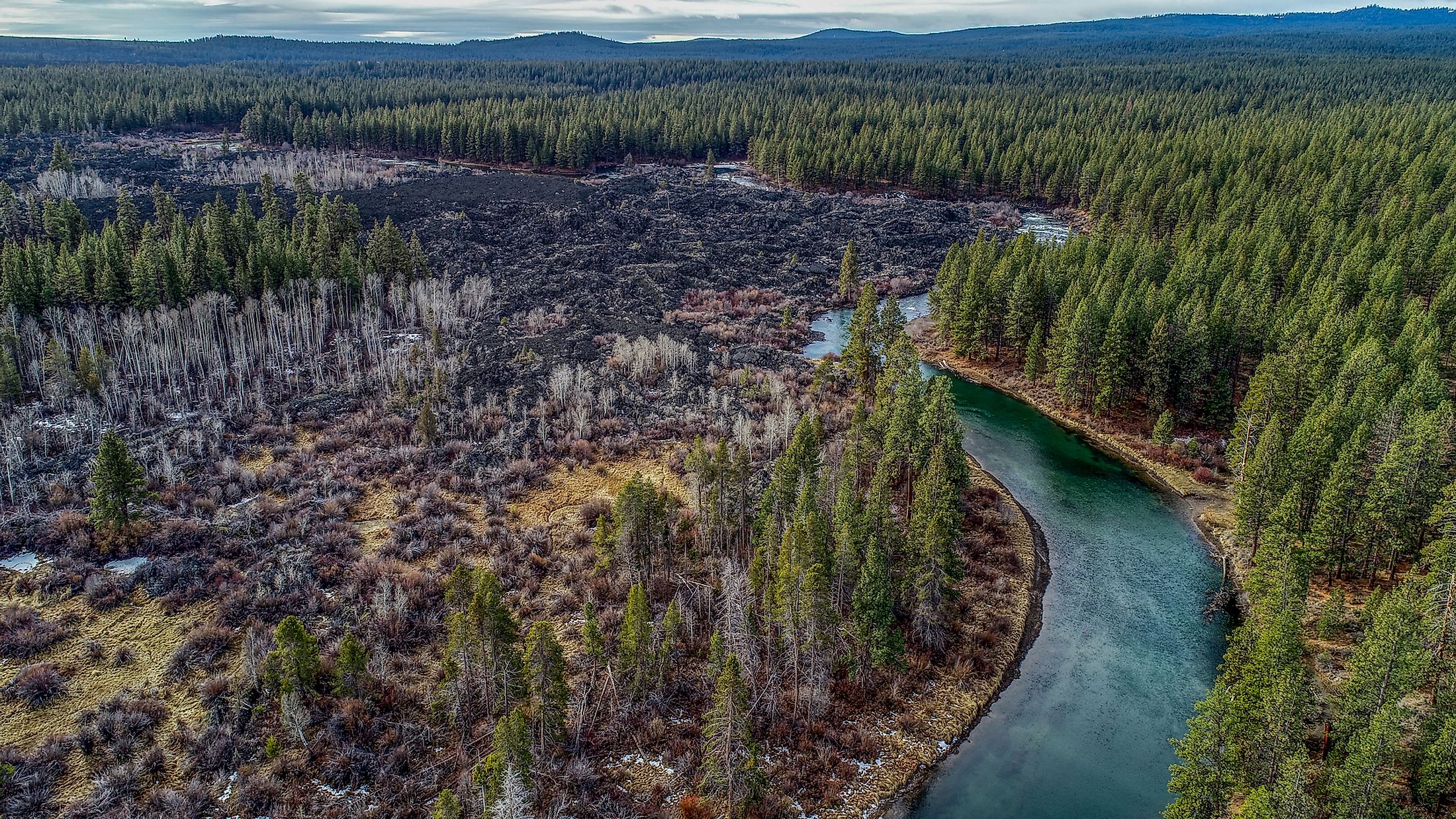
Geography

The Deschutes River originates from the spring-fed waters of the Little Lava Lake in the Cascade Range that is located about 42km to the northwest of the city of La Pine in Oregon. The river flows in the southward direction to the Crane Prairie Reservoir and then into the Wickiup Reservoir. From the Wickiup Reservoir, the Deschutes River flows in the northeasterly direction through the resort community of Sunriver into the city of Bend. In the central part of the city, the river flows into the Mirror Pond. From April to October, the flow of the river is reduced due to several diversions to the irrigation canals.

The river continues its northwards movement from the city of Bend and passes through the Cline Falls State Scenic Viewpoint and the Eagle Crest Resort. As the river flows through the Oregon high desert, it carves out a gorge that is bordered by large basalt cliffs. At the Lake Billy Chinook reservoir, the Deschutes River is joined by the Metolius and Crooked Rivers. As the river continues to flow in the northward direction, it forms one of the boundaries of the Warm Springs Indian Reservation. The Deschutes River finally empties into the Columbia River at about 8km southwest of the unincorporated community of Biggs Junction. Some of the major tributaries of the Deschutes River include Cultus River, Deer Creek, Snow Creek, Little Deschutes River, Tumalo Creek, Spring River, Fall River, Willow Creek, Warm Springs River, etc. The Deschutes River has a length of 406km and its drainage basin covers an area of about 27,000 sq. km.
Ecology and Recreation

The Deschutes River is well known for its fly fishing. The river supports a large number of Columbia River redband trouts. The Crane Prairie Reservoir hosts several rainbow trout, kokanee salmon, largemouth bass, black crappie, three-spined stickleback, etc. In Lake Billy Chinook reservoir, fishes like brown trout, largemouth bass, kokanee, etc are found. Insects like salmon flies and golden stoneflies are also found in the Deschutes River.

Most of the flow of the upper part of the Deschutes River is diverted into canals to provide water for irrigation. The cities of Bend and Redmond also receive their share of water from the Deschutes River. Two sections of the river are extremely popular for kayaking and whitewater rafting. The Big Eddy or the upstream section of the river starts from the city of Bend and is situated between the Dillon Falls and the Lava Island Falls. The lower section, which is more largely used is located downstream from the town of Warm Springs to the beginning of the Sherars Falls.
Brief History

It is believed that about 80,000 years ago, the Deschutes River flowed through the eastern side of the Pilot Butte lava dome and a lava flow from the Lava Top Butte had filled primitive river channel. In the later years, the basalt of the Bend lava flow had diverted the river to its current location. During the period of fur trading, the river was referred to as “Riviére des Chutes” or the “River of the Falls”. On October 22, 1805, the members of the Lewis and Clark Expedition visited the river and referred to the river by its indigenous name “Towarnehiooks”. However, during their return journey, they rechristened the river as the “Clarks River”. During the 19th century, the river served as an obstacle for the immigrants on the Oregon Trail. A place near the river’s mouth then served as a major crossing point. In 1910, the construction of the Bend Water, Light & Power Dam on the river led to the creation of the Mirror Pond. In 1964, the Round Butte Dam was built by Portland General Electric on the Deschutes River. The last 160.9km of the river’s path was designated as a National Wild and Scenic River and an Oregon Scenic Waterway on October 28, 1988.