Caledon River
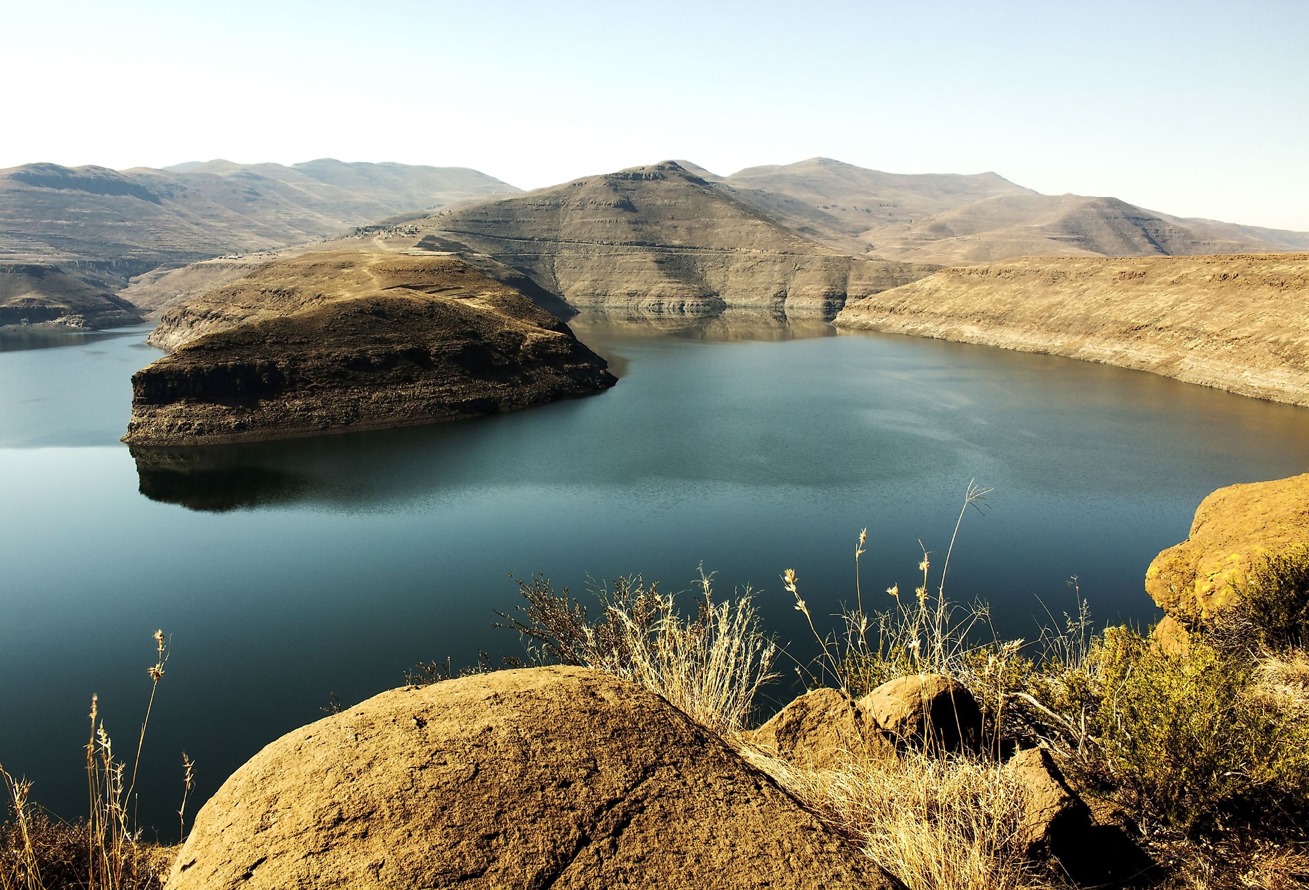
Also known as the Mohokare in Sotho, the Caledon River is a major water source for Lesotho’s capital, Maseru. The Caledon River is a tributary of the mighty Orange River which is the longest river in South Africa. It flows for 399 miles and makes up part of the natural border between South Africa and Lesotho.
Course and Geography Of The Caledon River
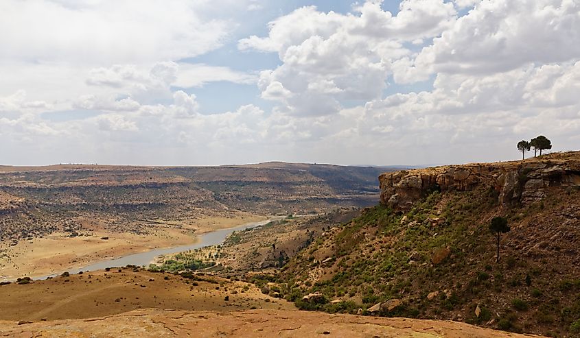
The Caledon River’s origin lies in what used to be a Bantustan in QwaQwa which lies southwest of Witsieshoek. It inclines up to the infamous Drakensberg on the SA-Lesotho border before continuing southwest, forming another border between the Free State province in SA and Lesotho.
Where the water splashes the shores near Wepener in the Free State, the river breaks free from Lesotho. It flows onward to the Orange River in a southeastern direction and reaches it after 300 miles.
As it joins the Orange River, it flows into the massive Gariep Dam. At the confluence of the Caledon and Orange Rivers lies the 22,000-hectare Tussen die Riviere Game Reserve, which translates to “between the rivers.”
The Caledon River Basin
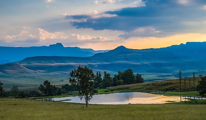
The Caledon River Basin is one of the largest drainage basins in Lesotho, and after passing through central South Africa flows into the Atlantic where South Africa and Namibia meet.
The basin has a gentle slope, or incline, and occupies a vast terrain. It experiences a cold interior climate; dry, freezing winters and humid summers. Up to 1,500 mm of rain falls annually in the part of the basin that lies within the Drakensberg. In the lower parts of the southwest regions, the rainfall decreases to around 500 mm.
The Caledon River Basin stretches across much of the Stormberg geological group, where three geological formations are found: Clarens, Elliot, and Molteno. While these formations are sandstone, fresh basalts make up the formations in the Drakensberg geological group.
Caledon River Ecosystem
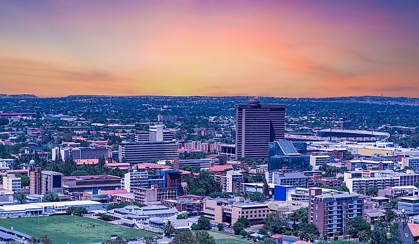
On the banks of the Caledon River on the R701 road sits the 3,700-hectare Caledon Nature Reserve. The river is dammed near the Lesotho border at Welbedacht Dam. This dam supplies the capital of the Free State, Bloemfontein, with water.
Within the nature reserve, the river sustains various game species, birds, and fish. These include the red hartebeest, gemsbok, zebra, wildebeest, fish eagle, and grey rhebok.
History Of The Caledon River
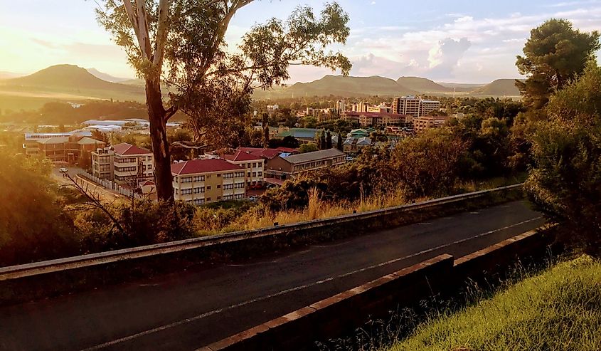
Europeans first discovered the Caledon River in 1777. They named the river Prinses Wilhelminarivier before renaming it after the Earl of Caledon in 1809. Eventually, the Caledon River Valley became invaluable to the Basotho people because it was their most fertile land. They used it to feed their livestock and grow crops.
When the Boers gradually moved into the valley, they lived in peace alongside the Basotho people. They traded guns and cattle and built up a great rapport.
However, peace turned to conflict at the end of the 1830s when other tribes and the Boers demanded control of the valley. Tensions rose to the point where the Boers declared war on the Basotho kingdom. The Basotho people were not defeated, but the only chance they had to keep some of the land surrounding the river valley was to give it to the British. They did this in 1868, and the Basotho tribe became known as British subjects.
The Caledon River Today
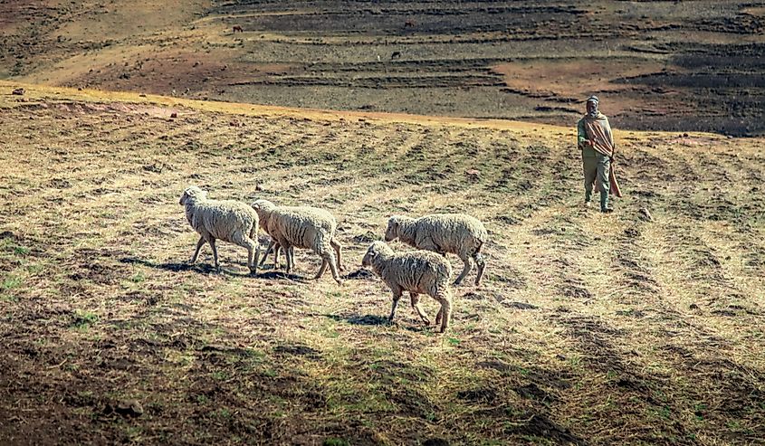
In modern times, the Caledon River supports various forms of agriculture. Agricultural activities include mainly sheep, cattle, and beef farming. The Caledon River Basin experiences severe droughts, and often runs dry. This worrying trend is mainly due to an explosion in human population, climate change, and rapid economic growth.
Climate change is one of the biggest threats to the Caledon River Basin. Scientists predict that global warming will bring harsher droughts and increased water shortages, which will hurt the socio-economic activities in South Africa and Lesotho.
Maseru’s water supply runs directly from the Caledon River when the water flow is strong. When water levels run low in the river, the city relies on water stored in the Maqalika reservoir. Two other reservoirs supplied by the Meulspruit Dam and Muela Dam also serve as water sources when shortages occur.
Beyond this, the Caledon River is also important in supplying water to other areas, and together with the Modder River Basin, it provides water to nearly 750,000 people.
