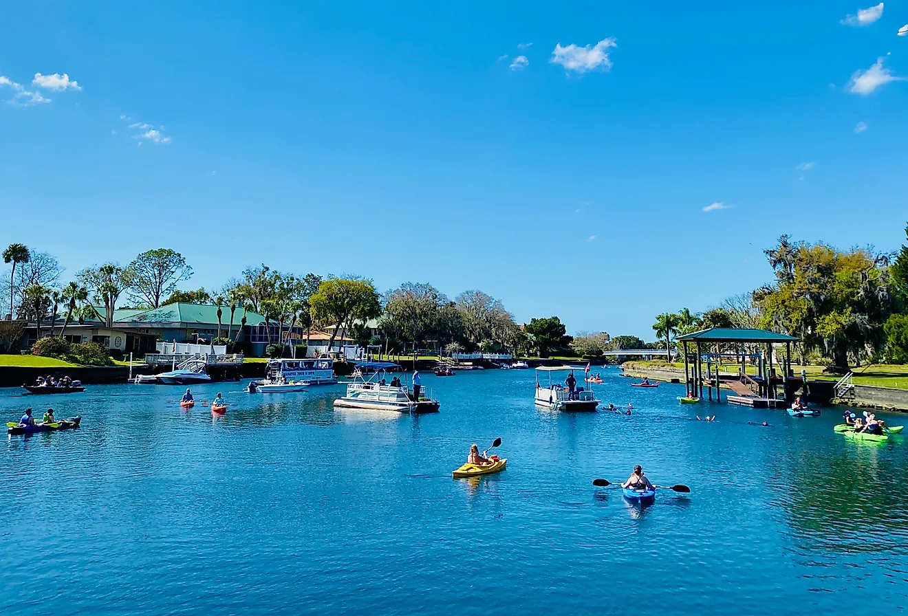
Hot Springs National Park, Arkansas
Nicknamed as “The Natural State”, the State of Arkansas covers an area of 137,732 sq. km and is geographically positioned in the south-central region of the United States. It is also the 29th largest and the 33rd most populous state in the USA. As per a survey conducted by the United States Forest Service in 2010, about 7,580,000 ha of the state’s land area is covered by forests. Currently, there are about 7 National Parks in the state of Arkansas that are managed by the National Parks Service, under the US Department of Interior.
Contents:
Location
Situated in Garland County in the central part of the US State of Arkansas is the Hot Springs National Park. The Park occupies an area of only 22.5 sq. km and is the first area in the entire United States that was set aside by the government for the protection of its natural features.
Geography

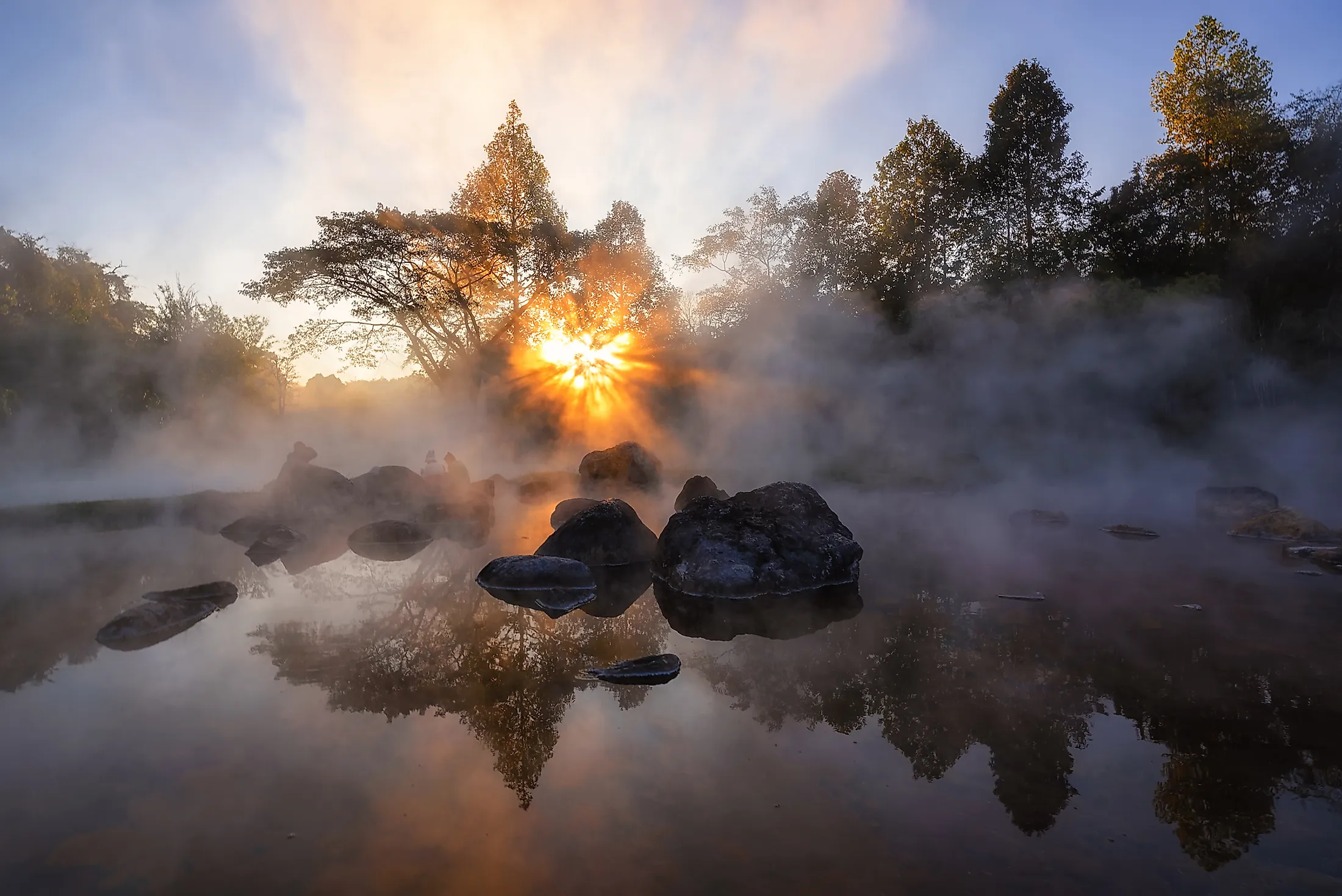
The Hot Springs National Park contains about 47 natural hot springs and a network of bathhouses that are situated on the southwestern slopes of the Hot Springs Mountain. The hot springs discharge more than 750,000 gallons of water per day and the spring water has an average temperature of 62°C.
The Hot Springs National Park is located in the Zigzag range, which forms the southern part of the Ouachita Mountains. The hot springs rise from the gap between the West Mountain and the Hot Spring Mountain at an altitude of 176m. Hot water from 33 thermal springs of the park is collected into a central reservoir system that is located beneath the Bathhouse row, through which the water is distributed for public consumption. The rocks that are found near the thermal springs are sedimentary rocks and igneous rocks. Geologists have estimated that the area’s oldest sedimentary rocks date from the Late Cambrian to the Early Mississippian period. The sedimentary rock strata are mainly composed of shales, sandstones, novaculite, conglomerate, and cherts. These strata include the top Stanley Shale, the Hot Springs Sandstone, the Arkansas Novaculite, the Poll Creek Shale, the Bigfork Chert, and the Womble Shale. Due to the fractures and faults of the Ouachita Mountains, the thermal water comes out through the Hot Springs Sandstone. The hot springs that flow upwards through the large open fissures are covered by the overlying Stanley Shale.
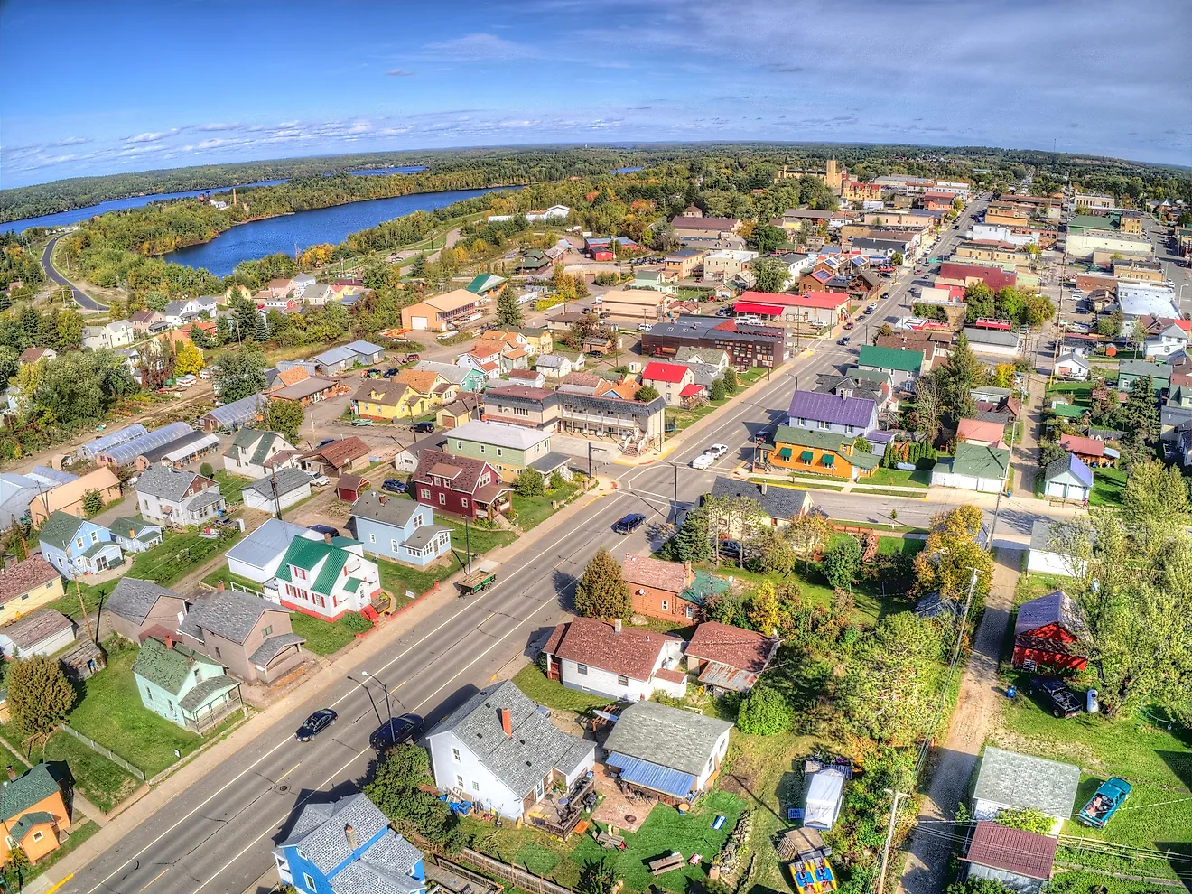
The Hot Springs National Park includes parts of the city of Hot Springs along with several hiking trails and camp areas. Located in the park, the Bathhouse Row, which has North America’s most extensive collection of bathhouses, was declared as National Historic Landmark in 1987.
Climate
According to the Köppen climate classification, the Hot Springs National Park experience a “humid subtropical” climate with hot and humid summers and very cold winters. During summer, the temperature rises to 43°C and in winter the temperature falls to -9.4°C. The Park receives occasional rainfall during the summer and the spring seasons.
Flora And Fauna
The Hot Springs National Park contains forests that are dominated by oak, pine, and hickory tree species. Some of the notable faunal species that are found in the park include the white-tailed deer, coyotes, raccoons, long-tailed weasel, Virginia opossum, gray foxes, nine-banded armadillo, gopher, chipmunks, etc. Migratory bird like the Mississippi Flyway is often seen in the adjacent areas.
Brief History

The Hot Springs area was visited by numerous indigenous people for several years. The area was referred to as the “Valley of the Vapors” by the native people and the natural hot spring water was used by them for its medicinal properties. Several bathhouses were built and used by people who visited the hot springs for healing. In 1541, the Spanish explorer Hernando de Soto became the first European to visit the area. In 1673, the French missionaries – Jacques Marquette and Louis Jolliet visited the area and claimed the area for France. Under the 1763 Treaty of Paris, the area was handed back to Spain, but again in 1800, France took control over the area. The United States acquired the area from France through the Louisiana Purchase in 1803. As per the request of US President Thomas Jefferson, the area was mapped in December 1804 by the explorers William Dunbar and George Hunter. The native Quapaw Indians handed over the land around the hot springs area to the United States on August 24, 1818. On April 20, 1832, the US Congress formed a “National Reservation” that granted government protection for the hot springs. On June 16, 1880, the Hot Springs Reservation was set aside as a park. On March 4, 1921, the Hot Springs Reservation area was redesignated as the “Hot Springs National Park”.