Bremer County, IA, USA
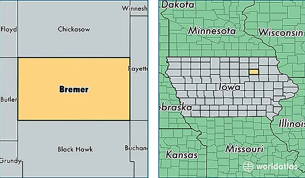
Bremer County is a county equivalent area found in Iowa, USA. The county government of Bremer is found in the county seat of Waverly.
With a total 1,138.05 sq. km of land and water area, Bremer County, Iowa is the 2390th largest county equivalent area in the United States. Home to 24,721 people, Bremer County has a total 10049 households earning 61216 on average per year.
Bremer County, Iowa - Quick Facts
| FIPS Code | 19017 |
| Area Codes | 319 |
| Time Zone | CST |
| Major Cities | Waverly (population: 12,232), Sumner (population: 3,577), Denver (population: 3,232), Tripoli (population: 2,122), Janesville (population: 1,908), Readlyn (population: 1,259), Plainfield (population: 1,035), Frederika (population: 142) |
| Land Area | 9,545 sq miles |
| Water Area | 436 sq miles |
| Household Income | $61,216 |
| Housing Units | 10,049 |
| Median Home Value | $145,300 |
| High School Grads | 94% of population |
| Holders of Bachelors Degrees | 28% of population |
| Retail Spending | $11,358 per capita |
| Food & Accomodation Sales | $16,655 per capita |
| Universities and Colleges | Wartburg College |