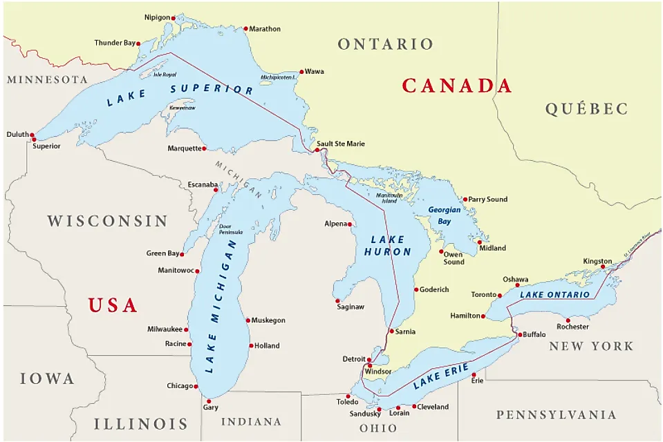
Khatanga Gulf
The term gulf refers to large, thoroughly indented, navigable saline water bodies encircled by the coastline. Varying greatly in shape, size, and depth, gulfs are bigger and more indented than the bays. Situated between the northern shores of Siberia, the Taymyr Peninsula, the Severnaya Zemlya archipelago, and the New Siberian Islands, the Laptev Sea covering a surface area of 270,000 sq. mi, is a marginal sea of the Arctic Ocean. The Laptev Sea's highly indented and winding coastline forms gulfs and bays of different sizes. One such significant gulf is the Khatanga Gulf, located in the southwestern portion of the Laptev Sea on the eastern side of the Taymyr Peninsula. Administrative boundaries cut across this area, with the Khatanga Gulf’s northern and western portions belonging to Russia’s Krasnoyarsk Krai administrative region, whereas its southeastern portion belonging to the Republic of Sakha (Yakutia) in the Russian Far East.
Geography Of Khatanga Gulf

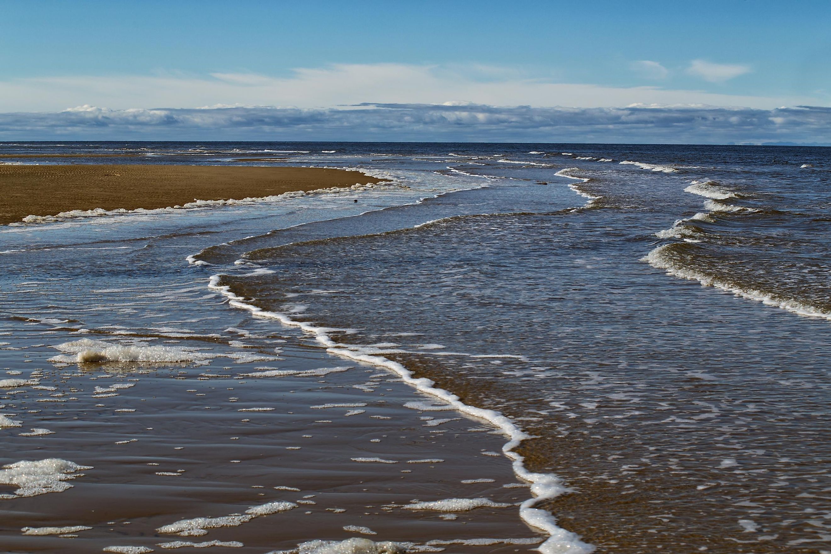
Khatanga Gulf is a quite narrow gulf having a maximum length of 140 miles, a maximum width of 34 miles, and a maximum depth of 95ft. The gulf's shallow inner and deep outer portions are linked by a narrow strait between the Taymyr and the Khara-Tumus peninsulas. Located in the Khatanga Gulf’s outer part, the Bolshoy Begichev Island divides the gulf into two straits: the 8.1-mile-wide Northern Strait and the 5.0-mile-wide Eastern Strait. Between the Taymyr Peninsula and the Bolshoy Begichev Island, the depth of the Northern Strait continuously increases towards the open sea, connecting the Khatanga Gulf with the western portion of the Laptev Sea.

Reaching a maximum height of 275.6 ft, the coastal hills on the gulf’s eastern coast are located close to Grand Cape Korga, while those on the west coast south of Stony Estuary reach a height of 239.5 ft. The Khatanga Gulf has a high, steep, and indented shoreline and receives its primary inflows from the Khatanga River. Beginning at the meeting point of the Kheta and Kotuy rivers in Krasnoyarsk Krai, the 141-mile-long Khatanga River flows into the Khatanga Gulf via an estuary, with an annual runoff of 85 cubic kilometers. Studies have revealed that about one-half of this volume is discharged into the Laptev Sea during the freshet period in June, after which the river discharge steadily decreases till September. The lower portion of the Khatanga River remains completely frozen from October to May; therefore, the river discharge is negligible during this period.
However, even though the freshwater runoff of the Khatanga River is small, the weakly stratified Khatanga plume formed by this low runoff occupies an expansive area and volume at the Laptev Sea. The Khatanga Gulf experiences semidiurnal tides, which are among the largest in the Eurasian portion of the Arctic Ocean and reach up to a height of 4 ft 7 inches.
Climate And Ecology Of The Khatanga Gulf

The Gulf area experiences short and cold summers and long and freezing winters. Fogs and snow squalls are common during the short summer, while snowstorms, gales, and blizzards characterize the winter months. From October to July, the Khatanga Gulf remains covered with ice. The raised, steep, and rugged shoreline of the Khatanga Gulf comprises low tundra cliffs in addition to sandstone, mudstone cliffs, and sedimentation areas. Due to the harsh climatic conditions, flora and fauna are scarce in the Gulf area.
Exploration Activities In The Khatanga Gulf
The Khatanga Gulf is one of the Russian Arctic’s least accessible areas. Due to the severe climate, regular shipping is allowed here for only two months a year. The Russian oil company Rosneft conducted the first-ever drilling of the Tsentralno Olginskaya-1 well from the shore of the Khara-Tumus Peninsula along the Khatanga Gulf. Three core samples from 2,305 to 2,363 m depths revealed high oil saturation with light oily fractions. As per estimates by Rosneft, the Eastern Arctic shelf could account for about 20 to 30% of the total oil production of Russia by 2050.