Gulf Of Paria
The Gulf of Paria is a shallow, semi-enclosed inlet located between Trinidad Island and Venezuela and connected to the Atlantic Ocean to the south and the Caribbean Sea to the north. The gulf extends about 160 kilometers from east to west and 65 kilometers from north to south. The Gulf of Paria is split between Venezuela and Trinidad and Tobago, with the former controlling about 62.3% of the gulf or 4,860 square kilometers. The gulf’s circulation and salinity are influenced by the several freshwater rivers draining into it, including the Orinoco and Caroni. Historically, Christopher Columbus may have sighted South America for the first time while sailing through the Gulf of Paria during his third Voyage.
Geography

The Gulf of Paria is an inland sea and one of the inlets of the Caribbean Sea, located between the Venezuelan east coast and Trinidad’s west coast. In the north, a series of straits, known as the Dragon’s Mouths, connect the gulf to the Caribbean Sea. The straits separate Venezuela’s Paria Peninsula and Trinidad’s Chaguaramas Peninsula. In the south, the Serpent’s Mouth or Columbus Channel connects the inland sea to the Atlantic Ocean and separates the Orinoco Delta and the Cedros Peninsula. Both the straits are approximately 16 kilometers wide.

The Gulf of Paria has a surface area of about 7,800 square kilometers, of which 4,860 square kilometers (62.3%) is under Venezuela’s jurisdiction, with Trinidad and Tobago controlling 2,940 square kilometers (37.7%). It is a shallow basin with an average depth of 20 meters and is 180 meters deep at the deepest point. In the gulf, the water circulates clockwise in the south, while tides are semi-diurnal. Several rivers flow into Paria, including the Orinoco, Amazon, Oropuche, and Caroni. The Orinoco is the world’s fourth-largest river by discharge, with most of its water ending in the Gulf of Paria.
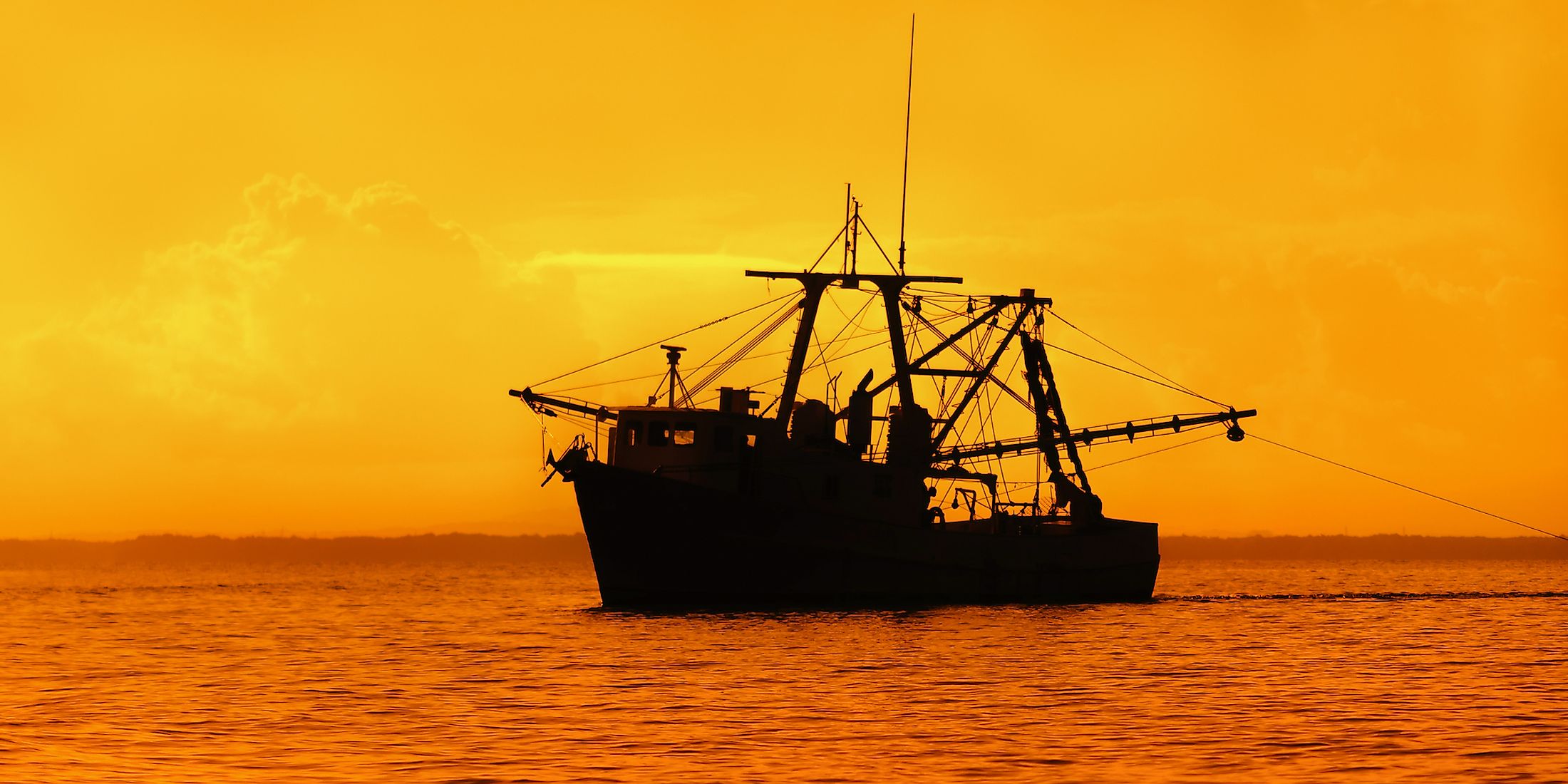
Fisheries
The rivers flowing into the Gulf of Paria bring a large quantity of sediments, giving rise to sandy substrates, which combine with the nutrient-rich waters to make the gulf a highly productive area. The gulf contains brackish water, with a salinity level of less than 2.3%. These conditions support a wide variety of fish and other aquatic animals. The fringing wetland and mangrove host juvenile fish and shellfish populations, including mussels, oysters, crabs, conch, and shrimps. Other dominant fish species found in the area include kingfish, Spanish mackerel, bluefish, and spotted bonito. The gulf is Trinidad’s most important fishing area for finfish and shrimp. Various fishing methods are used to capture fish, including trawls, gill nets, and hand lines.
Oil and Gas Exploration

The Gulf of Paria sits on the southeastern Caribbean’s broad strike-slip plate boundary zone. The area contains several hydrocarbon basins, including Columbus, Southern, Carupano, Caroni, and Darrien Basins. For decades, Trinidad and Tobago and Venezuela have explored and produced gas and oil in the gulf. Both natural gas and oil were discovered in the Caroni Basin, with the basin producing the bulk of Trinidad and Tobago’s oil and gas.

However, oil exploration and production is a major concern to environmentalists and fishermen because of the frequent oil spills. There have been more than 400 oil spills in the Gulf of Paria since 2010, with some spills stretching for kilometers. The most recent oil spill was reported in August 2021.


