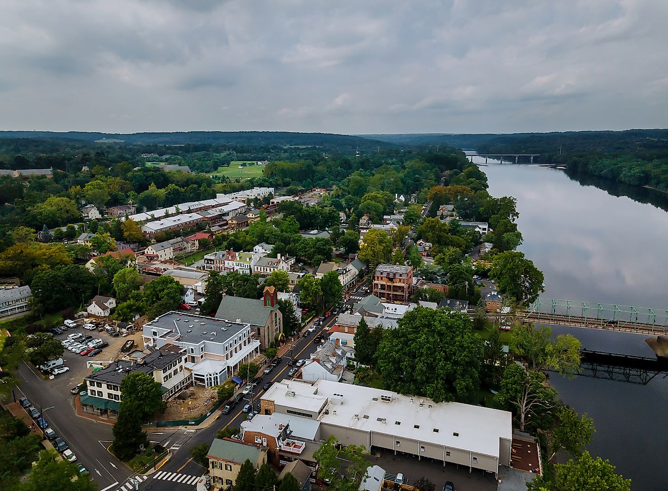
Crabtree Falls, Virginia
Revered for a towering set of waterfalls and being the highest vertical drop east of the Mississippi River, Crabtree Falls will leave one amazed at its grandeur. Consisting of five waterfalls that drop 370m, Crabtree Falls is a top attraction found in the George Washington National Forest. It is easily accessible by the Blue Ridge Parkway and is a beloved recreational area for hiking, birding, and being swept away by the scenic vista of the Tye River Valley and the overall natural beauty of Virginia.
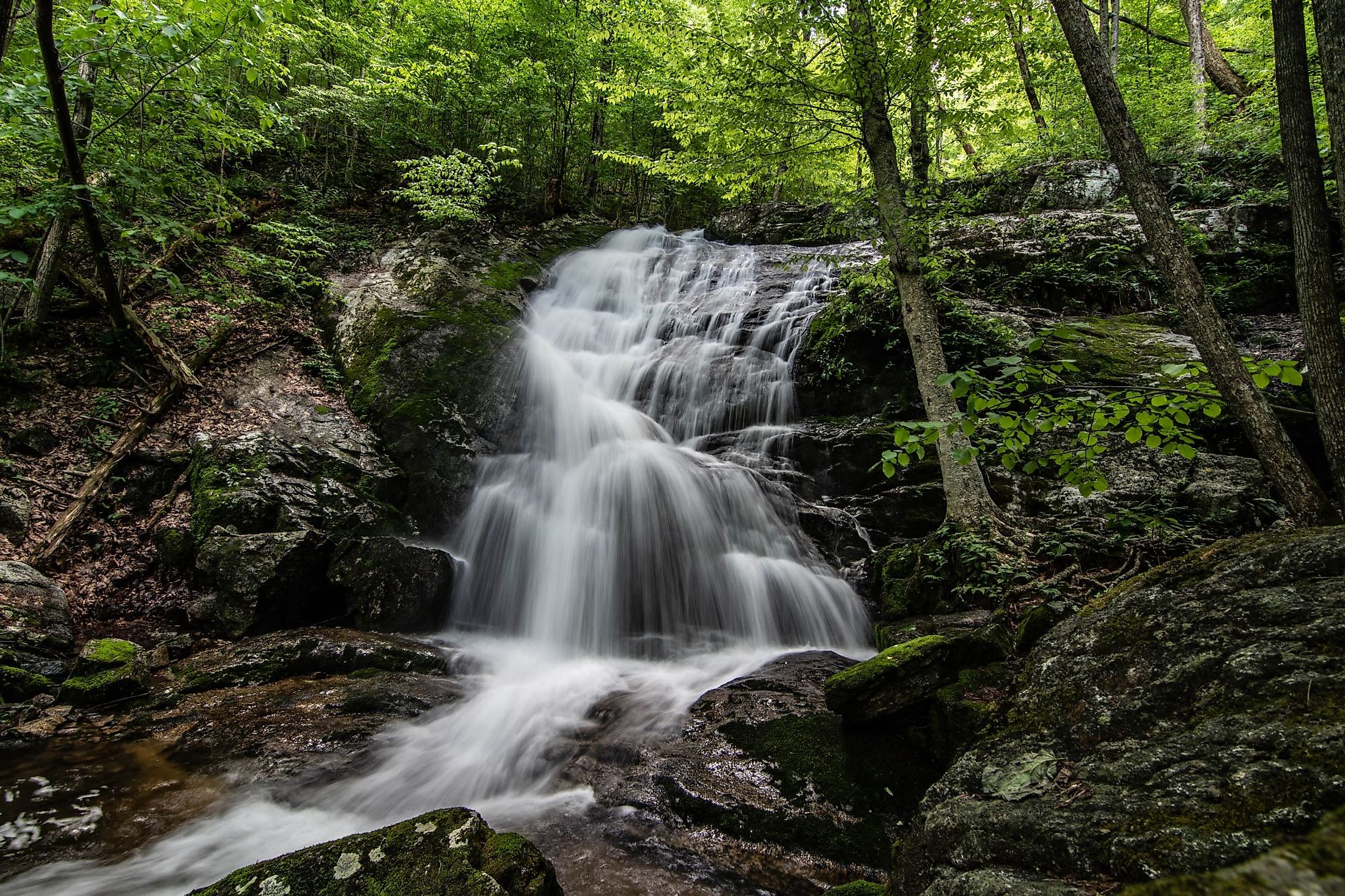
Geography Of Crabtree Falls

Crabtree Falls is situated in Nelson County, in the George Washington National Forest in the west-central part of the US State of Virginia. Crabtree Falls is a chain of cascading waterfalls that contains five significant cascades, the tallest of which drops 120m, along with many other smaller cascades that are horizontally spread over a total distance of 760m. As for facilities around the waterfall, there is the main parking lot that offers ample space, with the first overlook only a couple of hundred feet away along a wheelchair-accessible paved trail. Vaulted toilets can also be found at the Crabtree Meadows.
Geology Around Crabtree Falls

Along the western edge of Nelson County, where Montebello and Crabtree Falls are located, igneous and metamorphic rocks such as gneiss and granite can be found. Approximately 400 million years ago, the Blue Ridge region was formed when the North American Plate was upraised. This is evident along the Blue Ridge Parkway, where in addition to the noted geology, there is a bounty of greenstone, sandstone, and phyllite. Furthermore, it is an example of a hanging valley, where Crabtree Creek flows from the Crabtree Meadow, which then plunges over the hanging valley’s ledge into the Tye River Valley below. As for outflow, 50 cubic feet of water descends over the Crabtree Falls every minute.
History Of Crabtree Falls

The name “Crabtree” has long been speculated to have originated after William Crabtree, who settled in the area around 1777. This makes sense since the Tye River is named after Blue Ridge Mountain explorer Allen Tye, who discovered the river of the same name. The 1960s saw the base of Crabtree Falls developed, intending to be a resort. But the proposal was blocked by LA Snead, a former US Assistant Fuel Administer who used personal and congressional funds to transfer land deeds into the National Forest system. This designation protected the falls from further development but also allowed for infrastructure to be updated, such as bridges, pathways, and overlooks.
Hikes Around Crabtree Falls

The Crabtree Falls Trail is a 2.5 miles hike that contains nine switchbacks as visitors ascend to the Upper Falls. It commences via the paved trail left of the parking lot. At the 0.2-mile marker, a platform presents views of the Lower Falls before leading into a series of switchbacks and a staircase. Mile marker 0.9 grants hikers another overlook, but this time at the top of the Lower Fall. The trail then leads past a cave before the Middle Falls. The first mile rewards trekkers with views of the jaw-dropping 90-foot cascade of the Middle Falls. Continuing on forth to mile marker 1.6, the first glimmers of the Upper Falls come into sight. Just past that, at mile marker 1.9, visitors will cross a wooden bridge to a viewing area with sweeping vistas of the Tye River Valley. The top of the Upper Falls does not offer the best views of the 200-foot plunge below. However, it is important not to stray from the trail or the viewing area. In the past, lives have been lost because of the slipping of wet rocks or from those trying to gain a better vantage point. From here, hikers have the option of backtracking to the trailhead or picking up the trail past the Crabtree Meadow Campground for an additional 10 miles back to the trailhead.