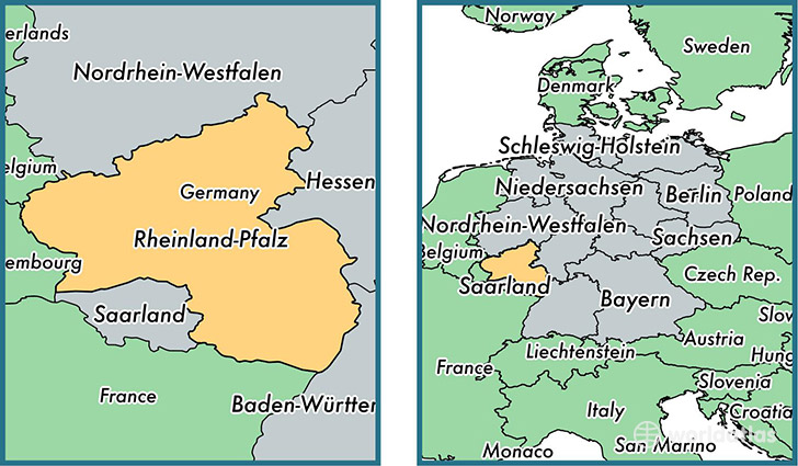
State of Rhineland-Palatinate, Germany
Rhineland-Palatinate is a state found in the nation of Germany. Home to 3,989,808 people, it is the 7th largest division in Germany in terms of population.
Rhineland-Palatinate gained its current status as a state in the year 1949. The government of Rhineland-Palatinate is lead by Malu Dreyer and is based in the state capital of Mainz (Population: 184,997).
The most populous cities in Rhineland-Palatinate are: Mainz (Population: 184,997), Ludwigshafen am Rhein (Population: 163,196), Koblenz (Population: 107,319), Trier (Population: 100,129), Kaiserslautern (Population: 98,732).
Rhineland-Palatinate State - Quick Facts
| Country | Germany |
| Region Type | State |
| ISO Code | DE_RP |
| Time Zone | CEST |
| Year of Establishment | 1949 |
| Capital | Mainz (Population: 184,997) |
| Head of Government | Malu Dreyer |
| Total Population | 3,989,808 |
| Total Area | 19,847 sq km (7,663 sq miles) |
| Population Density | 201.0 sq km (520.7 sq miles) |