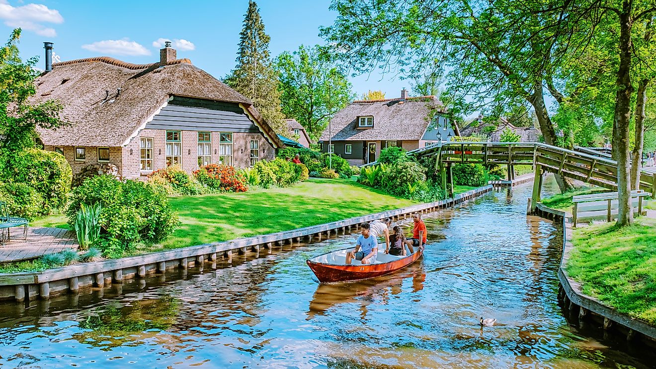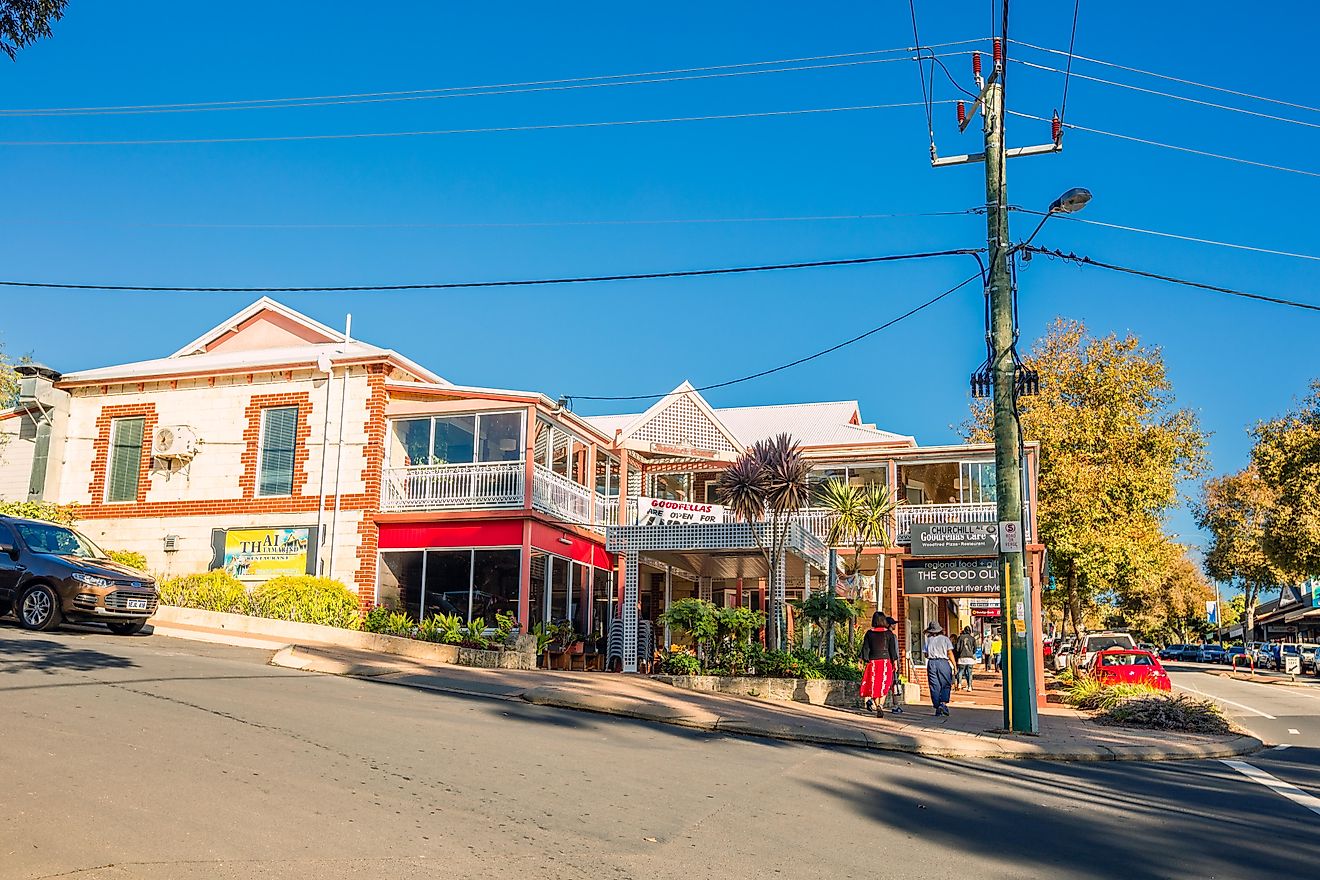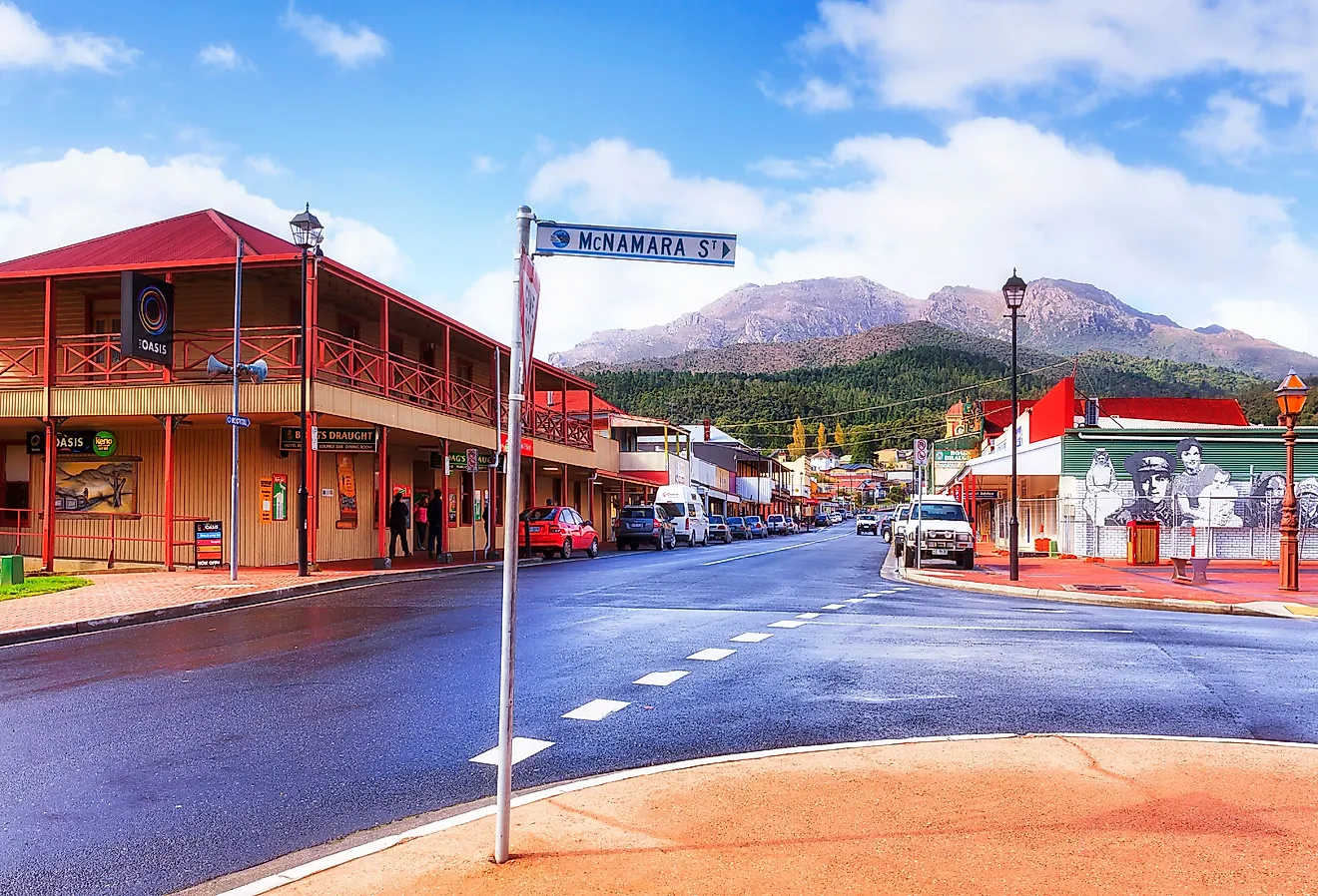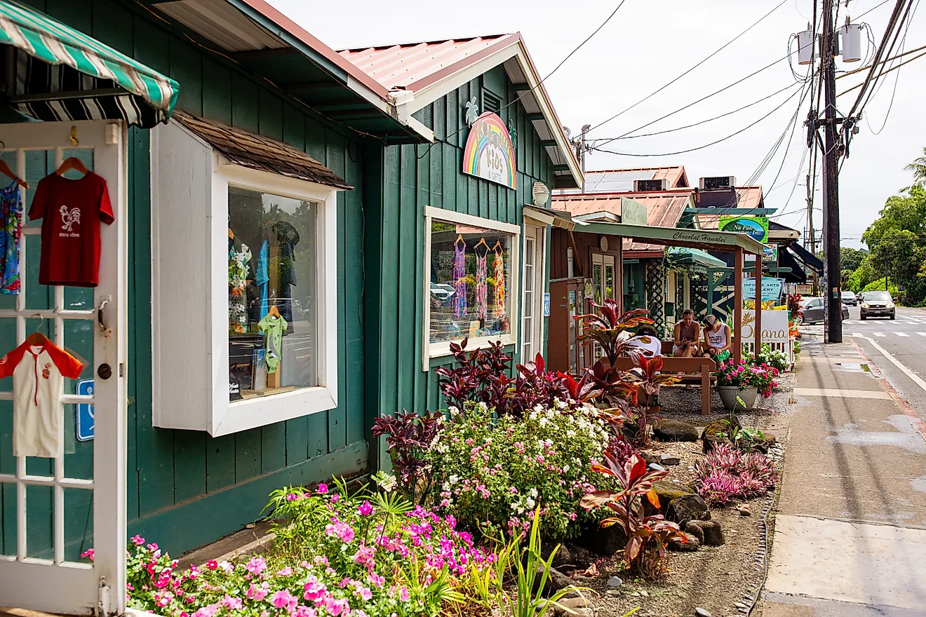
Taihape, New Zealand
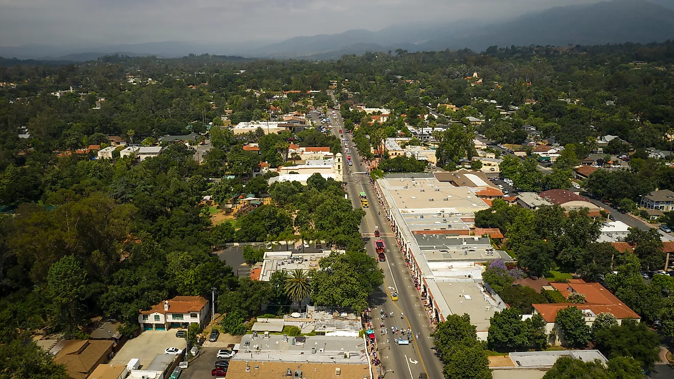
Taihape is a minor urban area situated close to the meeting point of the Hautapu and Rangitikei rivers in the Rangitikei District of Manawatu-Whanganui region in the south-central part of the North Island of New Zealand. Taihape is considered the “Gumboot Capital of the World,” and the town attracts many tourists to its annual gumboot-throwing competitions. The town’s location close to the mountains, lakes, and rivers has made Taihape an important hunting and outdoor tourism center.
Geography Of Taihape

Taihape is situated on the southern edge of the North Island Volcanic Plateau at an elevation of 500m above sea level. Covering a total area of 4.93 sq. km, Taihape is located in a sheltered valley in central North Island, near the Ruahine Range and Rangitikei River. The town is surrounded by fertile high-country areas that are suitable for sheep and deer farming.
Climate
According to the Köppen climate classification, Taihape experiences an oceanic climate. The warm season lasts from December to March, with February being the hottest month having an average high temperature of 21.8°C and a low temperature of 11.4°C. The cold season lasts from May to August, with July being the coldest month having an average low temperature of 2.4°C and a high temperature of 10.5°C. The town receives significant rainfall throughout the year, with an average annual precipitation of 953mm.
The Population And Economy Of Taihape

As of June 2021, Taihape has a population of 1,790 inhabitants, of which 910 people are females, and 880 people are males. The town’s population has increased from the 2018 New Zealand census, which showed that the town was home to 1,716 inhabitants. Taihape has a population density of 360 inhabitants per sq. km. About 69.1% of the town’s population were European/Pakeha, 47.9% were Maori, 4.4% Pacific people, 3.7% Asians, and 1.2% other ethnicities.
At present, Taihape serves as a rural supply town, and a significant part of its economic activity involves railways and rural communities. The town’s location along State Highway 1 and the North Island Main Trunk railway has ensured its economic survival. The town initially served as the principal railway and transportation center for the neighboring farming communities during its peak in the 1960s. However, a downturn in the farming sector and restructuring and electrification of the railway system led to a significant economic decline in the 1980s. In recent years, tourism has played a significant role in supporting the local economy of Taihape.
Tourist Attractions In Taihape
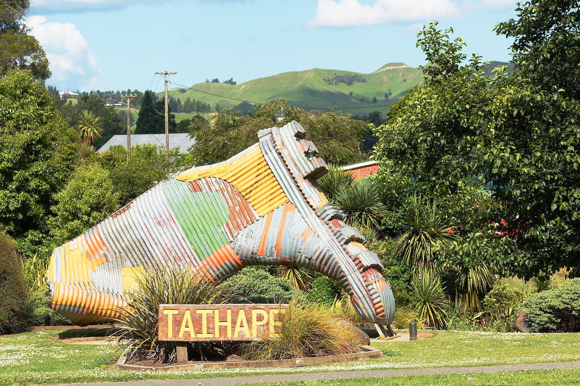
Gumboot Monument

Located at the edge of Taihape is a gigantic, multicolored iron gumboot that marks the town’s association with gumboots. Taihape is considered the “Gumboot Capital of the World” and celebrates “Gumboot Day” annually on the following Tuesday after Easter. The town attracts thousands of visitors during this annual event that also includes many competitions such as the gumboot-throwing contest, shoot the loops with gumboots, and best-dressed gumboot.
River Valley Adventures
Located about 32km east of Taihape is the River Valley Lodge, from where the River Valley Adventures operate various adventures for tourists. Many recreational activities like kayaking, jet boating, white water rafting, horse riding, etc., are offered for the tourists at the River Valley.
Brief History Of Taihape

The indigenous Maori people originally inhabited the Taihape region. In 1845, William Colenso became the first European to visit the area. In 1884, a surveyor's party laid a rough track for the Main Trunk Railway Line through the district. In 1894, the town was founded after the European settlers arrived from the Canterbury region of the South Island of New Zealand. The settlement was initially named Hautapu after the local Hautapu River. The town was then renamed “Otaihape,” a Maori term that meant “the abode of Tai the Hunchback.” In due course, the town was rechristened as “Taihape.” However, the rural town of Taihape remained as an “isolated pioneer settlement” until the development of roads and railways at the beginning of the 1900s. Since then, Taihape started developing as an important railway and transport town that peaked both in population and economic activities during the 1950s to 1960s. However, in the 1980s, a downturn in the farming sector and restructuring and electrification of the railway system led to a significant economic decline. At present, Taihape serves as a service center for the native farming communities and a refreshment stop for travelers.