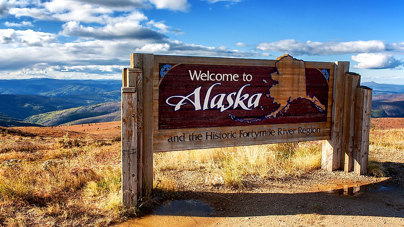
The Narrowest Country In The World
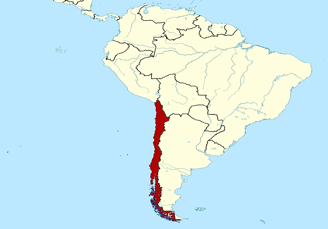
Chile is the world’s narrowest country. It is part of the South American countries found along a strip of land between the Andes and the Pacific Ocean. Chile borders Peru, Argentina, Bolivia, and the Drake Passage. Its territory includes several Pacific Islands including Easter Island, Juan Fernandez, and Desventuradas. Chile is considered a stable and prosperous nation in South America. It is also one of the founding members of the UN and other regional organizations including UNASUR and CELAC. The country ranks top among the Latin American countries in the human and democratic development and economic freedom.
Geography Of Chile
Chile is located on the western part of the Andes Mountains. It extends over 2,600 miles north to south and it is about 217 miles wide. The country encompasses a variety of landscapes and climate which makes it one of the most naturally diverse countries in the world. Chile has a land area of 292,260 square miles and is located within the Pacific Ring of Fire. It is a long north to south country and is the narrowest country from east to west if only the mainland territory is considered. Chile also holds claim to 480,000 square miles of the Antarctica. However, the claim has been put on hold by the Antarctic Treaty. Chile also holds sovereignty over the islands of Easter and Sala y Gomez which were incorporated into its territory in 1888. The Atacama Desert in the northern part of the country contains a great wealth of minerals like copper and nitrate while the southern part of the country is rich in forest, grazing land, and strings of volcanoes and lakes.
Topography Of Chile
Chile is located on the Pacific Ring of Fire. Over 250 million years ago the country was just a depression of accumulated marine sediments. The territory was shaped by the folding of the rocks which formed the topography of the country. The relief of Chile consists of central depressions which are enclosed by two mountain ranges accounting for 80% of the country (the Andes Mountains and the Coastal Range to the west). The series of coastal plains characterize the coastal mountains and the Pacific allowing for the establishment of coastal towns and ports. The northern part of the country is dominated by the Atacama Desert which is the aridest area in the world while the central region has the highest population. The Norte Chico in the South extends to the Aconcagua River while the Los Andes decreases to the south towards the Illapel which is the narrowest part of the country.
Climate And Wildlife of Chile
Chile’s varied climate ranges from the desert climate (Atacama Desert) in the north and the Mediterranean Climate in its central regions to humid subtropical and Oceanic Climate in the East and South respectively. Chile hosts about ten climatic subtypes including desert, semi-arid, alpine, tundra, and ice cap among other types. High degree of endemism characterizes the wildlife of Chile due to its geography. The native floral species of Chile are fewer than other South American Countries. The northernmost and the central regions are characterized by barren vegetation while the south of the country is marked by a dense forest of laurels and several species of conifers and beeches. Over 3000 species of fungi are recorded in the country. The migration of faunal species has been restricted by the country’s geographical isolation. The mammal species common in the country includes puma, guanaco, chilla, and Pudu. There are also several species of birds in the country including the Andean condor.