Fluvial Landforms: What Is Drainage Basin?
What Is A Drainage Basin?
A drainage basin is also known as a catchment basin and is an area where surface water from different sources like the melting snow, ice, or water from rain converge or drain to a single point usually of lower elevation. A smaller drainage basin could be within another larger drainage basin, for instance, the River Ohio and river Missouri are drainage basins of their own, and they are within the larger Mississippi River Basin. Other terms used interchangeably for drainage basin are water basin, catchment area, river basin, drainage area or water basin.In enclosed drainage basin (Endorheic) water converges into a single point known as the sink within the basin which could be a dry lake, a permanent lake or a point where the surface water is lost through underground. A drainage basin serves a funnel because it collects water within the region that the basin covers and channels it to a single point.
The Ocean Drainage Basins
Ocean Basins form the largest drainage in the world. Atlantic Ocean basin is approximately 48.7% of the world’s land surface, and most of the water surface in North America drains to the Atlantic through the Eastern Seaboard of the US, Great Lakes and Saint Lawrence River basins, the Canadian Maritime, and most of Labrador and the Newfoundland. Almost all of the South America to the east of Andes also drains to the Atlantic Ocean.Part of the Western Sahara and the Mediterranean Sea also drain to the Atlantic Ocean. Arctic Ocean basin covers about 17% of the world’s land surface, most of the Northern and Western Canada, the northern part of Alaska including parts of Montana, Minnesota, South Dakota, and North Dakota in the US drains to the Arctic Sea.Other regions that drain into Arctic Sea include parts of the Scandinavian Peninsula, northern and central Russia, parts of Kazakhstan, and Mongolia in Asia. The Pacific Ocean basin covers approximately 13% of the world’s land surface while the Indian Ocean basin covers about 13% of the land surface as well. The southern Sea and Antarctica basins cover about 8% of the world’s surface.
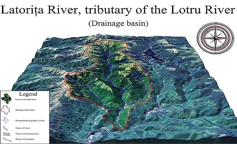
River Basins
The Amazon River Basin is by far the largest river basin in the world. The Amazon drainage basin or the area covered by Amazon and its tributaries is 7, 500,000 Square kilometer (2,900,000 square mi) an area that is equivalent to 40% of the South American Continent its location covers eight countries including Venezuela, Colombia, Suriname, Brazil, Bolivia, Peru, Guyana, and Ecuador. Most of the basin is covered by the Amazonia Rainforest covering 5,500,000 Square kilometers (2, 100, 000 square Mi) of dense tropical rainforest. Other large River basins in the world include Rio de la Plata river basin, the Congo River Basin, and the Mississippi River basin.
Significance Of Drainage Basins
From time immemorial, drainage basins have been used as territorial boundaries, especially in areas where water played a crucial role as trade routes. The Hudson Bay Company was granted the monopoly on fur trade by the English Crown over the entire Hudson Bay basin. In the modern times, the bioregional organizations include interstate agreements to manage certain drainage basins, for instance, Tahoe Regional Planning Agency and the Great Lakes Commission. A drainage basin also plays a critical point in hydrology when studying the water movement in a hydrological cycle.


