Delaware Bay
Covering an area of 2,030 sq. km, the Delaware Bay is an estuary outlet of the Delaware River that is situated on the eastern coast of the United States. The Delaware Bay is bordered by the counties of New Castle, Kent, and Sussex in the US State of Delaware and by the counties of Cumberland, Salem, and Cape May in the US State of New Jersey.

Geography
For several kilometers, the fresh waters of the Delaware Bay mix with the salt waters of the Atlantic Ocean, and the bay’s shores are mainly composed of mudflats and salt marshes. The shores of the lower part of the Delaware Bay are inhabited by many small communities.

The Delaware Bay extends in the southeastward direction for about 84km from the confluence of the Delaware River with the Alloway Creek, up to the 19km wide entrance between Cape May and Cape Henlopen. In addition to the Delaware River, many small rivers and streams drain into the Delaware Bay including the Appoquinimink River, Christina River, Mispillion River, Broadkill River, St. Jones River, and Leipsic River on the Delaware side and the Maurice River, Cohansey River, and Salem River on the New Jersey side.

The Delaware Bay serves as an important tourist destination and offers many recreational activities for the visitors such as fishing, boating, hunting, etc. The bay also serves as one of the most critical navigational channels in the United States. The lower course of the bay forms a part of the Atlantic Intracoastal waterway, while the upper course of the bay is directly connected via the Chesapeake and Delaware Canal with the northern end of the Chesapeake Bay. The Delaware Bay also serves the city of Philadelphia via a 180m wide and 10m deep channel in the Delaware River.
Ecology

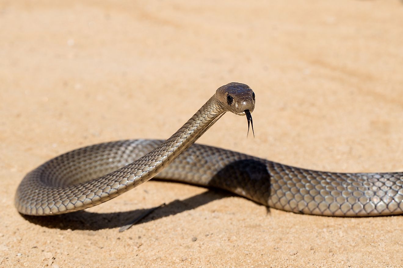
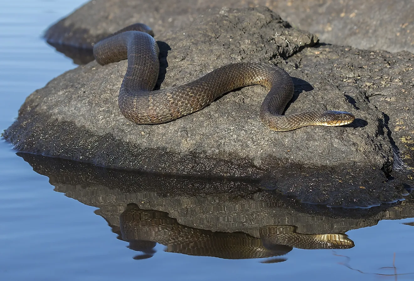
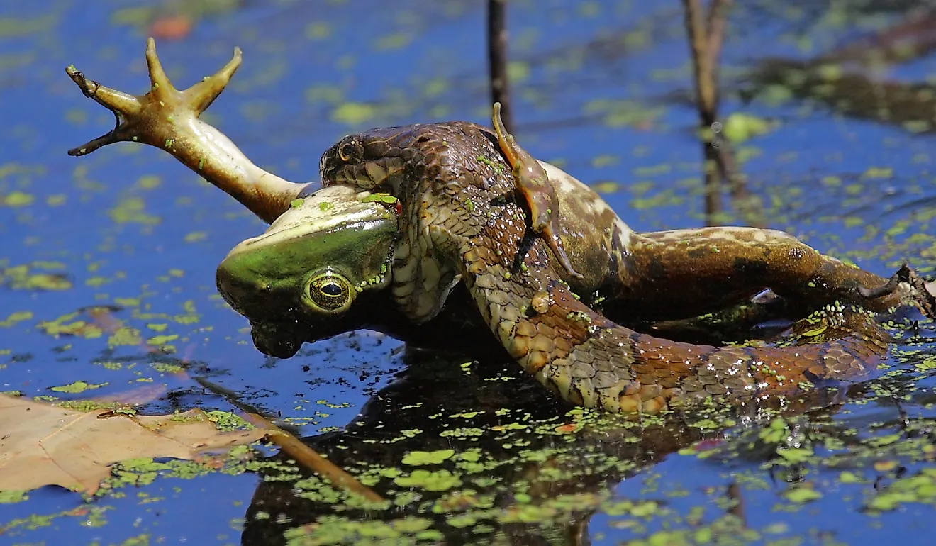
The Delaware Bay is surrounded by salt marsh wetlands and these wetlands serve as important breeding grounds for many aquatic species. The Delaware Bay hosts the world’s largest population of spawning horseshoe crabs. More than 130 species of finfish, as well as oysters, clams, and crabs, are also found in Delaware Bay. As a part of the Atlantic flyway, the bay serves as a critical stopover site for more than 30 species of migrating seabirds including Red Knots, sanderlings, sandpipers, plovers, etc. The surrounding marshy lowlands provide habitat for many avian species like ospreys, bald eagles, Northern harrier, migratory waterfowls, raptors, etc.
Brief History

Before the arrival of the Europeans, the area around the Delaware Bay was inhabited by the indigenous Lenape people. These native people referred to the Delaware River as “Lenape Wihittuck” and the Delaware Bay as “Poutaxat”. In 1523, the Spanish explorer Lucas Vasquez de Ayllón had received a grant from the Roman Emperor Charles V, for a land that was earlier explored by Francisco Gordillo and Pedro de Quejo in 1521. The bay was named by Quejo and Ayllon as the “Saint Christopher Bay” in 1525. In 1600, the “Saint Christopher Bay” was renamed as “Niew Port May” in honor of Captain Cornelius May. The English navigator Henry Hudson visited the bay in 1609 and claimed it for the Dutch East India Company. The bay was then renamed “Godins Bay”. The Dutch extensively explored the coast of the bay and established several settlements along the bay’s shores as a part of the New Netherland colony. In 1638, a Swedish settlement named “New Sweden” was established along the South River by Peter Minuit. In 1667, the English took possession of the bay as well as the New Netherland colony. The South River and the Godins Bay were renamed by the English naval officer Samuel Argall as “Delaware” in honor of Thomas West, the third Baron De La Warr. In the later years, during the American Revolutionary War, the strategic importance of the Delaware Bay was recognized and the Pea Patch Island located at the head of the bay was fortified to protect the port cities of Philadelphia and New Castle. On May 20, 1992, the Delaware Bay was designated as a Ramsar Wetland of International Importance.