Maps of Washington

Washington is a state located in the Pacific Northwest region of the United States. It is bordered by Oregon to the south, Idaho to the east, Canada to the north. The state has a total area of approximately 71,362 square miles and ranks as the 18th largest state in the country.
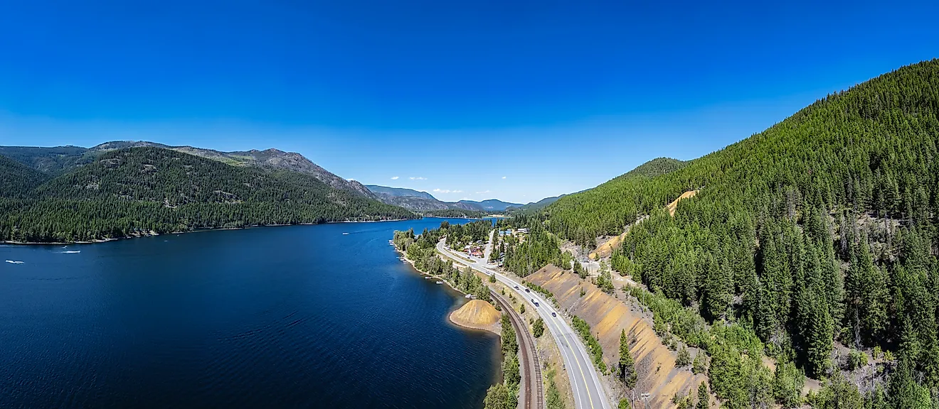
Washington's geography is diverse, with four distinct regions: the Pacific Coastline, Cascade Mountains, Puget Sound Lowlands, and Eastern Washington. The Pacific Coastline stretches for over 150 miles along the state's western edge and features numerous beaches, cliffs, and rocky shorelines. This region experiences mild temperatures throughout the year due to its proximity to the ocean.
The Cascade Mountains run north-south through central Washington and are part of a more extensive mountain range extending from British Columbia to California. This region boasts numerous peaks over 10,000 feet tall, including Mount Rainier, which stands at 14,411 feet, making it one of the tallest mountains in North America.
The Puget Sound Lowlands are located in western Washington between Seattle and Vancouver, B.C. This region includes Seattle and Tacoma metropolitan areas and many other smaller cities. The lowlands have gentle slopes covered in forests with several rivers flowing into Puget Sound.
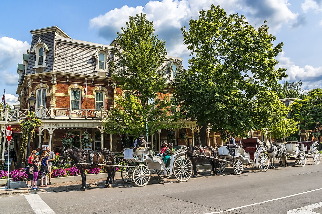
Eastern Washington is a vast region that makes up nearly two-thirds of Washington's land area but only contains about one-third of its population. This region is known for its arid climate with hot summers and cold winters. Agriculture is an important industry here, with crops such as wheat, apples, and grapes grown throughout this area.
The state’s most significant river is the Columbia River. It rises in the Canadian province of British Columbia, and then flows south through the state of Washington, forming most of its natural border with Oregon. Other rivers of note include the Okanogan and the Snake rivers. The Baker, Chelan, and Ross are some of the state’s most significant lakes.
Counties Map

The State of Washington is divided into 39 counties. In alphabetical order, these counties are: Adams, Asotin, Benton, Chelan, Clallam, Clark, Columbia, Cowlitz, Douglas, Ferry, Franklin, Garfield, Grant, Grays Harbor, Island, Jefferson, King, Kitsap, Kittitas, Klickitat, Lewis, Lincoln, Mason, Okanogan, Pacific, Pend Oreille, Pierce, San Juan, Skagit, Skamania, Snohomish, Spokane, Stevens, Thurston, Wahkiakum, Walla Walla, Whatcom, Whitman, and Yakima.
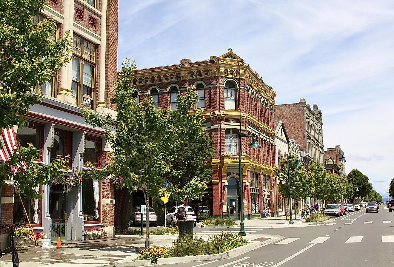
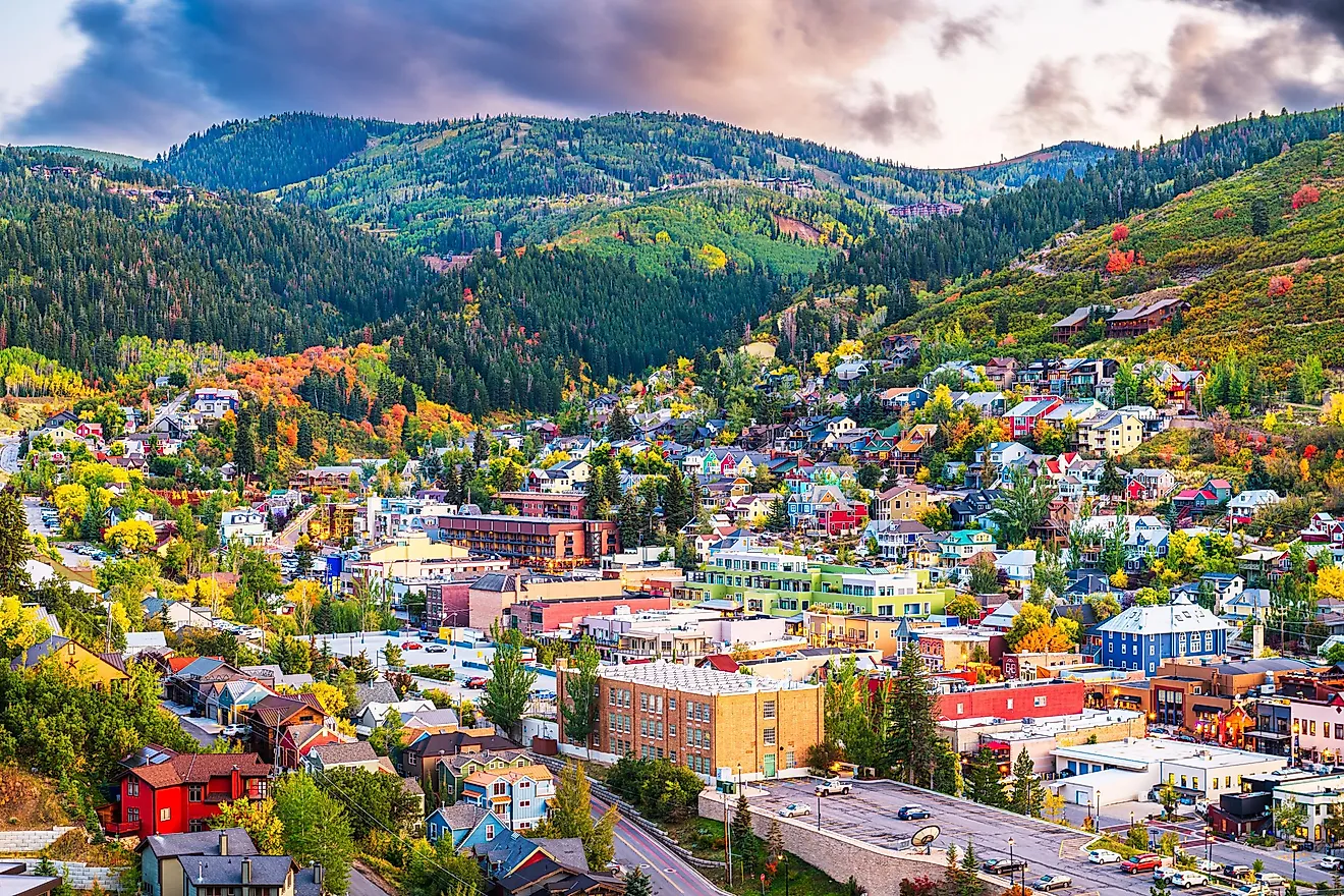
With an area of 184,827 sq. km, Washington is the 18th largest and the 13th most populous state in the USA. Located at the southern edge of Puget Sound is Olympia – the capital city of Washington. The manufacturing of plastics, industrial supplies, and commercial shipping are the main contributors to the city’s economy. Situated on the isthmus between Puget Sound and Lake Washington is Seattle – the largest city in Washington and the most populous city in the Pacific Northwest region of North America. Seattle also serves as the cultural center of the state and as a major hub of the IT and biotech industries. This seaport city is at present, the 4th largest container port in North America.
Where is Washington?

The State of Washington is located in the Pacific Northwest region of the United States. Washington is bordered by the states of Oregon in the south; by Idaho in the east, and by the Canadian province of British Columbia in the north. It is also bounded by the Pacific Ocean in the west.
Regional Maps: Map of North America
Outline Map of Washington

The above blank map represents the State of Washington, located in the Pacific Northwest region of the United States. The above map can be downloaded, printed and used for geography education purposes like map-pointing and coloring activities.

The above outline map represents the State of Washington, located in the Pacific Northwest region of the United States.
Key Facts
| Legal Name | State of Washington |
|---|---|
| ISO 3166 Code | US-WA |
| Capital City | Olympia |
| Major Cities |
|
This page was last updated on March 3, 2023